
















Could Super El Niño put a damper on lake-effect snow this winter?

THE TAKEAWAY
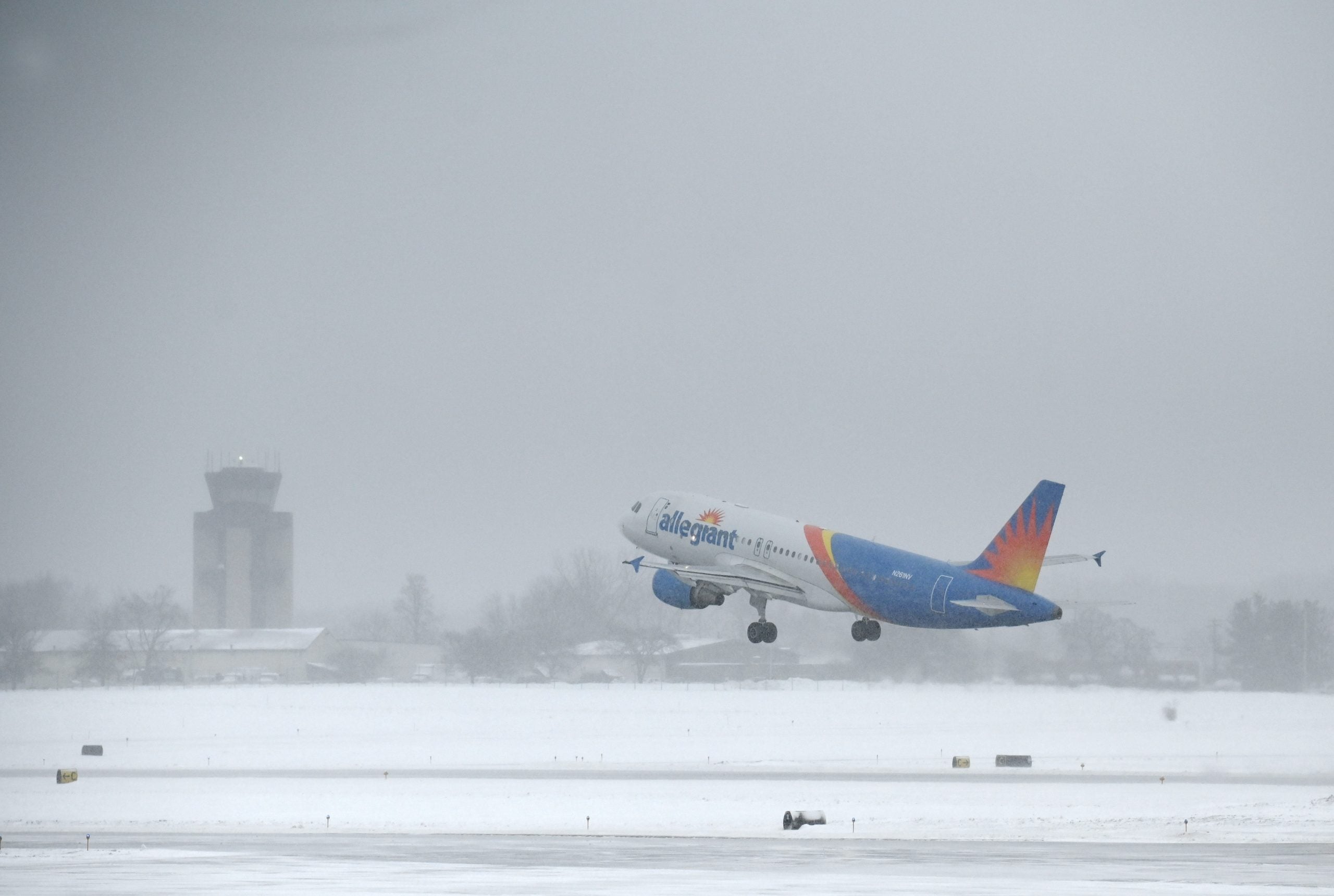
As a Super El Niño develops, lakeside communities — including the Great Lakes region — could see changes in lake-effect snow activity this winter.
Currently, a cross-country storm system is tracking farther into Canada, allowing much of the rain across the Midwest to move out with it.
A developing area of low pressure on the system's backside will draw cooler air across Lake Superior, bringing the possibility of a few slushy snow showers.
However, little to no accumulation is expected across Michigan's Upper Peninsula, which could be consistent with the warmer conditions associated with El Niño winters.
COULD SUPER EL NIÑO INFLUENCE THE POLAR VORTEX TO DO SOMETHING IT'S NEVER DONE BEFORE THIS WINTER?
El Niño occurs when sea surface temperatures in the central and eastern tropical Pacific Ocean become warmer than average, triggering changes in atmospheric circulation and weather patterns around the world.
According to the FOX Forecast Center, a Super El Niño can influence temperatures, precipitation patterns and the jet stream across the U.S.
During Super El Niño winters, warmer-than-average conditions are typically favored across the northern U.S. and Great Lakes region.
Super El Niño can also influence the position of the polar jet stream, potentially shifting it farther north and limiting Arctic air.
For lake-effect snow to develop, two key ingredients are needed: cold air moving over relatively warm lake water, creating atmospheric instability, and favorable wind patterns that allow the air to travel across the lakes and carry moisture inland.
During El Niño winters, warmer temperatures can reduce the frequency of cold air outbreaks, limiting some of the conditions needed for lake-effect snow to develop.
Historically, during strong to Super El Niño winters, several cities across the Great Lakes region have recorded below-average seasonal snowfall totals between November and March.
This was evident during the 2015–16 winter in Cleveland, Ohio, which recorded just 24.9 inches of snow, compared to its seasonal average of 51.4 inches.
Grand Rapids, MI, also saw below-average snowfall, recording 51.7 inches compared to its average of 66.8 inches. Meanwhile, Marquette, Michigan, recorded 118.8 inches of snow during the same winter, compared to its average of 186.1 inches.
COULD HISTORY REPEAT ITSELF? HOW PAST SUPER EL NIÑO WINTERS OFFER CLUES ABOUT WHAT'S AHEAD
Buffalo received 48 inches, well below its seasonal average of 85.7 inches.
Buffalo also experienced a delayed start to its snow season, with the city not recording its first measurable snowfall until Dec. 18, nearly two weeks later than average.
What's Your Reaction?
 Like
0
 Dislike
0
 Love
0
 Funny
0
 Angry
0
 Sad
0
 Wow
0