













Bryan Norcross: An extra-high King Tide arrives as the tropics die down

This story was last updated at 10:30 a.m. on Monday, Oct. 26, 2026
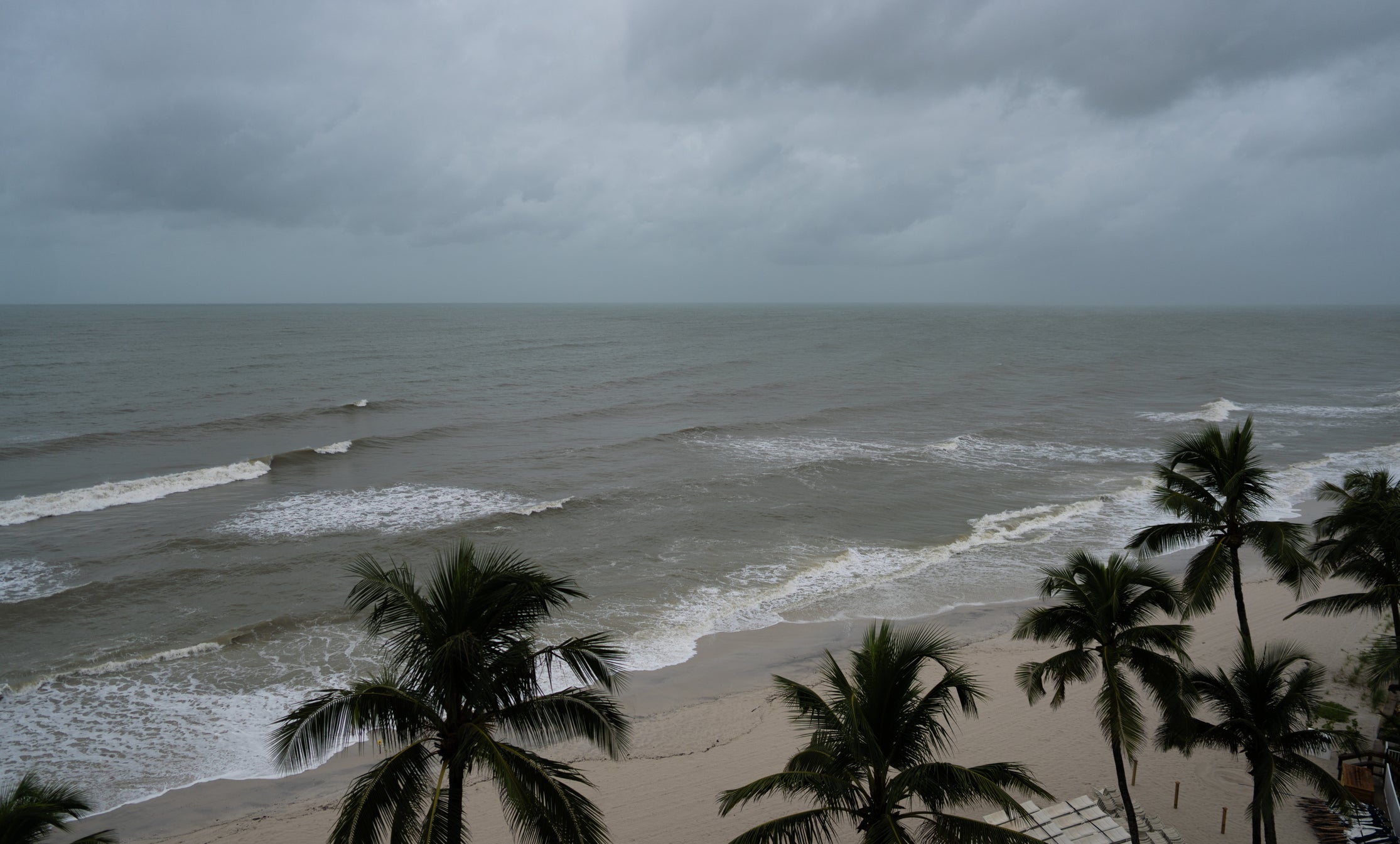
High tides will be exceptionally high for the next few days. Major to moderate flooding is forecast along the Southeast coast from the Carolinas to South Florida. Coastal roads will be inundated, huge and dangerous waves will pound the beaches, causing erosion, and low-lying homes and businesses on inland waterways might be flooded.
Remember, most of the flooding you'll encounter will be saltwater, which is terrible for your car. If you have to drive through it, try to get to a car wash or rinse off the underside of the car as soon as possible.
KING TIDES AND HEAVY RAIN FUEL MAJOR COASTAL FLOODING ACROSS THE SOUTHEAST AS WATER LEVELS SURGE
Pay attention to local flood alerts and stay out of the saltwater if you can. Your car will appreciate it.
It's King Tide season, of course, when the moon's orbit brings it relatively close to the Earth. That means the moon has a greater-than-average gravitational pull on the oceans.
This King Tide is actually slightly less intense than average. This cycle, the full moon and the closest approach of the moon are a couple days apart. When they line up, we get even higher tides.
WHAT IS A KING TIDE OR PERIGEAN SPRING TIDE?
But another factor is making King Tide season worse than it used to be, and that's the overall warming of the ocean. As the planet has warmed, much of that extra energy ends up in the ocean, which expands the seawater. This is one reason we have more coastal flooding than ever before on sunny days.
In Florida, and especially the southern half of the peninsula, this round of King Tide flooding will be exacerbated by the weather pattern. High pressure over western North Carolina and low pressure over the southern Bahamas are squeezing the air, creating strong onshore northeasterly winds that push the tides even higher.
The continuous onshore flow of air holds water in bays and in waterways, waiting for the next high tide to push it even higher.
HOW HIGH PRESSURE AND LOW PRESSURE DRIVE THE WEATHER
The moon comes closest to the Earth on Wednesday, and this weather pattern will continue until about that time. Stay aware if you're near the ocean or any waterway subject to tidal flooding.
Here is information for South Florida from the National Weather Service in Miami.
Otherwise, the tropics are taking on a wintertime look with strong jet stream winds dominating the atmospheric environment.
There's a good chance that hurricane season is over in the Atlantic, though we can't say that with 100% certainty yet. Sometimes non-tropical systems find a patch of atmosphere conducive to development over the warm ocean waters.
SUPER EL NIÑO THEN AND NOW: HOW THIS YEAR'S STRENGTHENING EVENT COMPARES TO HISTORIC EXTREMES
There are two tropical storms, one off Mexico called Vance and the other east of Hawaii called Olana. Neither is expected to have a significant effect on land, although a loosely related surge of tropical moisture is heading toward the Hawaiian Islands. It will be quite stormy there over the next few days.
Pay attention to flood alerts issued by the National Weather Service in Honolulu.
What's Your Reaction?
 Like
0
 Dislike
0
 Love
0
 Funny
0
 Angry
0
 Sad
0
 Wow
0