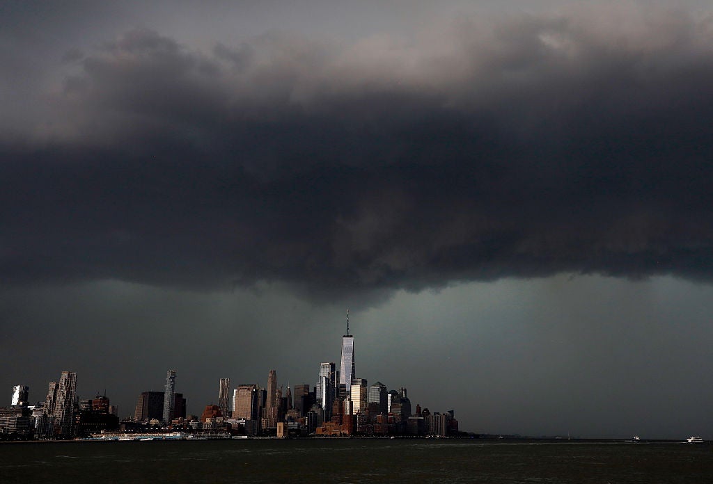


First warnings issued as future Tropical Storm Arthur fuels flood threat along the Gulf Coast
The first warnings have been issued for the Louisiana coastline as future Tropical Storm Arthur looms along the Gulf Coast.
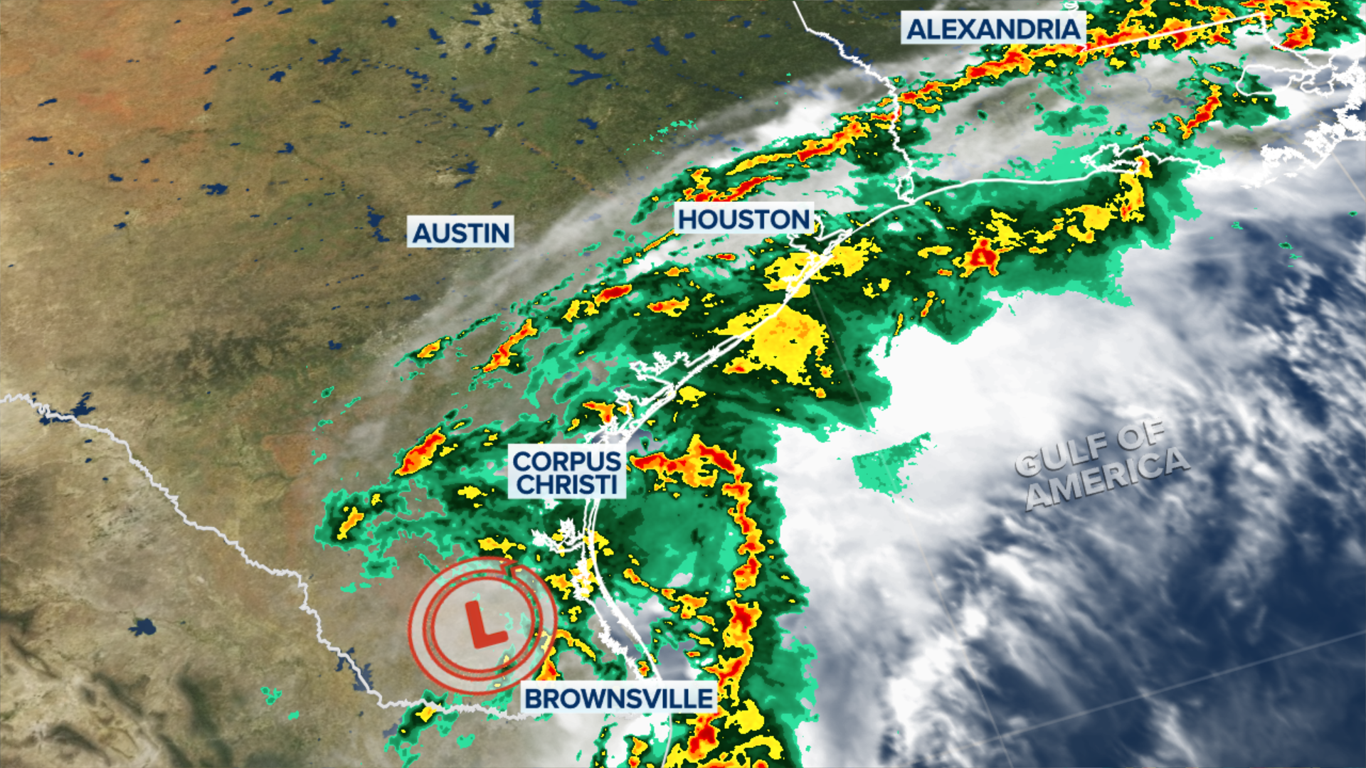
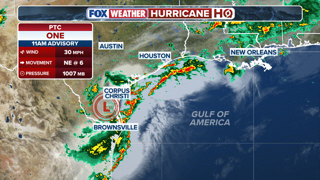
The National Hurricane Center (NHC) has designated the former Invest 90L, as Potential Tropical Cyclone (PTC) One, allowing them to issue Tropical Storm Watches and Warnings as the system targets the Gulf Coast.
While the system is not yet developed, most computer models suggest that it will move offshore tonight, with winds increasing to potentially tropical-storm force on Wednesday.
WATCH: HEAVY RAIN TRIGGERS DANGEROUS FLASH FLOODING ACROSS TEXAS, PROMPTING MULTIPLE WATER RESCUES
Following the activation of these public advisories, Tropical Storm Warnings have been issued from Sabine Pass to Morgan City, Louisiana.
Tropical Storm Watches have also been issued for portions of the Upper Texas and southwestern Louisiana coasts, specifically from Sargent, Texas, to Morgan City, Louisiana.
A PTC is typically designated when a storm hasn't yet formed, but there is the expectation that it will or produce at least tropical storm conditions within 72 hours, the FOX Forecast Center said.
PTC One is currently a broad area of low pressure located inland over south Texas. The system is forecast to move northeastward along the Texas coast and could emerge over the northwestern Gulf of America later today or tonight.
Environmental conditions are expected to be marginally conducive for the formation of a short-lived tropical storm.
With water temperatures in the mid-80s, the environment favors development. However, moderate wind shear and limited time over open water will be the deciding factors that ultimately restrict how strong Potential Tropical Cyclone One can become.
There is nothing to indicate PTC One will become a hurricane, the FOX Forecast Center said.
That said, even in a worst-case scenario, we are not expecting anything stronger than a tropical storm. The first name on the list is Arthur.
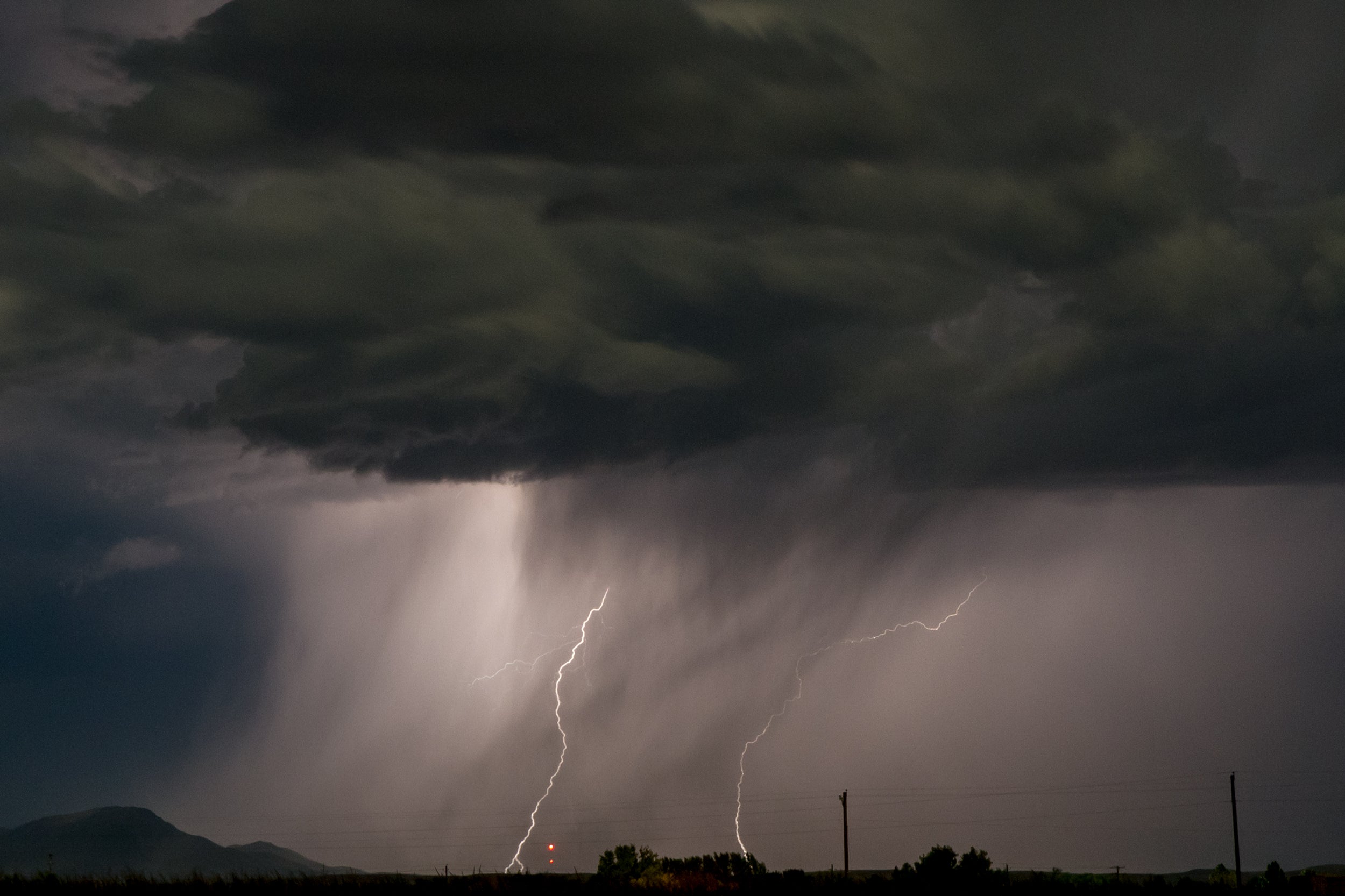
Regardless of how strong the system gets, a significant and potentially life-threatening flash flood threat is expected along the Gulf Coast through late week.
Additionally, wind speeds will heavily depend on the final strength of the system.
Based on the latest data, the FOX Forecast Center said the most intense gusts are expected along the immediate coast, stretching from roughly Matagorda Bay in Texas over toward central Louisiana.
Wind gusts over 40 mph could trigger minor coastal flooding, with the strongest winds peaking on Wednesday before the system pushes inland Wednesday night into early Thursday.
What's Your Reaction?
 Like
0
Like
0
 Dislike
0
Dislike
0
 Love
0
Love
0
 Funny
0
Funny
0
 Angry
0
Angry
0
 Sad
0
Sad
0
 Wow
0
Wow
0