


Severe weather outbreak to reload across Midwest and Northeast by midweek, impacting recently battered regions
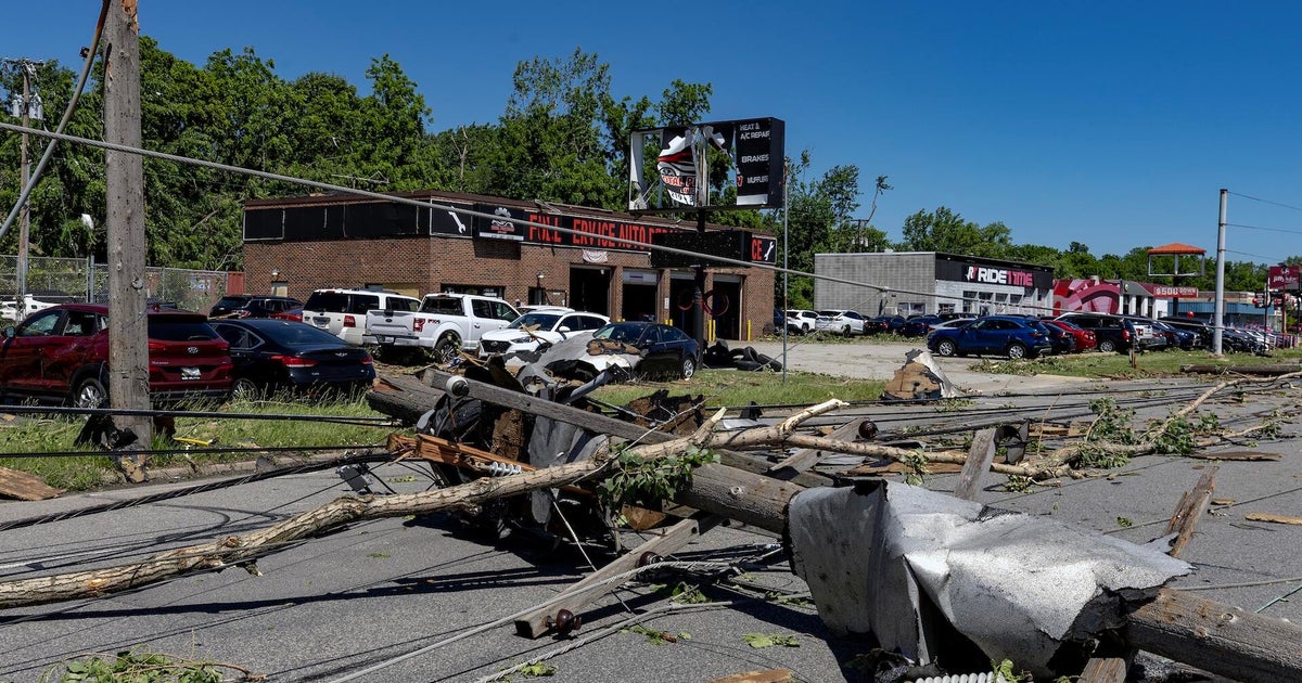
A multi-day severe storm outbreak is set to slam portions of the Midwest and Northeast by midweek. This comes just days after tornadoes, destructive winds and large hail moved through many of the same areas.
Severe weather will begin Tuesday in Illinois, Indiana and Michigan, sparking thunderstorms with gusty winds and hail. However, an isolated tornado for Illinois and Indiana cannot be ruled out, the FOX Forecast Center said.
With that, the Storm Prediction Center has issued a Level 1 out of 5 risk for areas in the Midwest, including the metros of Chicago, Indianapolis and Detroit.
This pattern isn’t unusual for Illinois, which has led the nation this year with 145 tornado reports, with more expected this week.
According to the FOX Forecast Center, a strong area of low pressure is expected to develop across parts of the Plains on Tuesday and race eastward.
Ahead of it, a strong upper-level jet stream will drive southerly winds, pulling Gulf moisture northward to interact with a cold front—setting the stage for severe weather.
By Wednesday, the severe weather threat will increase as the area of low pressure moves from the Midwest into the Great Lakes.
A Level 3 out of 5 severe storm risk has been issued from Kansas City to St. Louis, with a broader Level 2 out of 5 threat stretching from Kansas to Kentucky, including Louisville, Indianapolis, and Columbus.
WHAT IS A SUPERCELL THUNDERSTORM?
The FOX Forecast Center expects a mesoscale convective system (MCS) to move through the Midwest. With a significant amount of wind shear in place, discrete supercells capable of producing tornadoes are expected to develop ahead of the main line of storms.
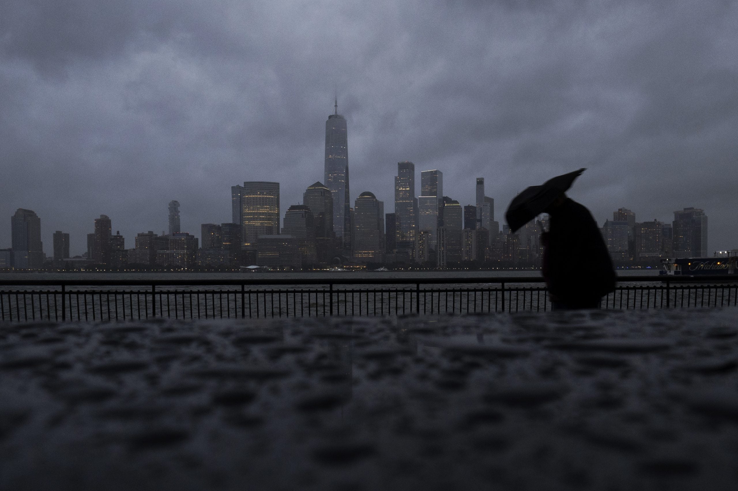
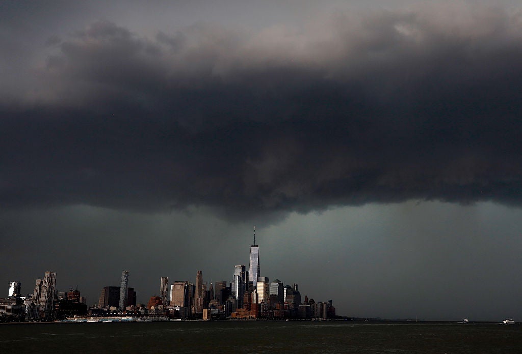
On Thursday, the storm will shift into the Northeast, bringing a renewed severe weather threat for New York City and Washington, D.C.
A Level 2 out of 5 risk is in place from New York City to roughly Pittsburgh, tracking over several large East Coast cities.
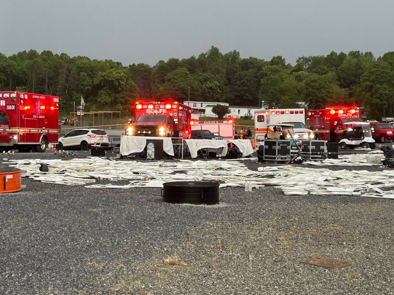
1 DEAD AND 22 INJURED AFTER SEVERE WEATHER PROMPTS OUTDOOR TENT FAILURE AT VIRGINIA CHURCH
As the system pushes farther east into the Mid-Atlantic and Northeast, the timing of its arrival will determine how impactful and destructive the storms become.
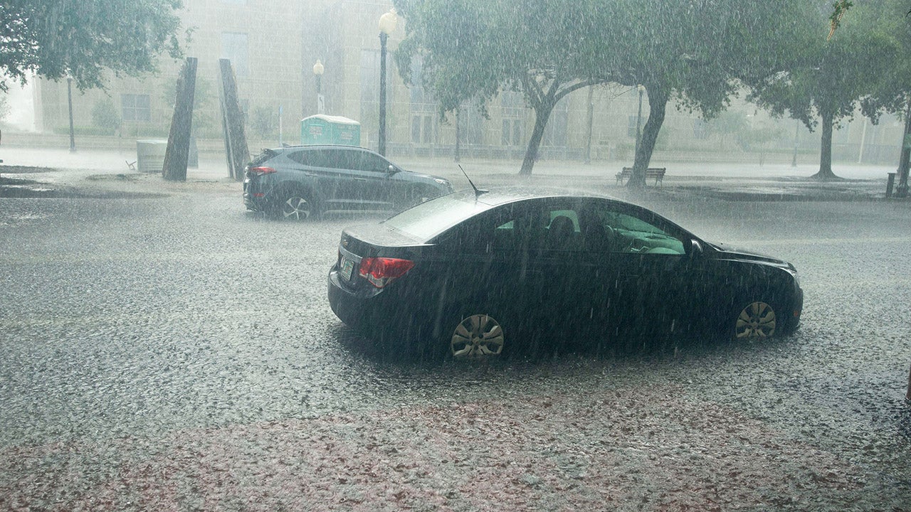
These fast-moving storms will be packed with tropical moisture, leading to heavy rainfall that could cause localized flooding.
KNOW YOUR FLOOD TERMINOLOGY: WHAT FLOOD WATCHES, WARNINGS AND EMERGENCIES REALLY MEAN
A flash flood threat is in place across the Midwest as storms move through. Since much of this area is already saturated from previous weeks of storms, it will take only some additional rainfall to spark dangerous flooding.
The FOX Forecast Center said widespread rainfall totals of 2 to 3 inches are likely across the Midwest and Ohio Valley, with isolated pockets of 3 to 5 inches possible.
Stay with FOX Weather as this situation continues to unfold.
What's Your Reaction?
 Like
0
Like
0
 Dislike
0
Dislike
0
 Love
0
Love
0
 Funny
0
Funny
0
 Angry
0
Angry
0
 Sad
0
Sad
0
 Wow
0
Wow
0