


%20052026%20SOURCE%20Tello.jpg)


Alaska to get slammed with heavy rain after snowier than normal December
ALASKA — After a recent bout of heavy snow, Alaska's Panhandle could get slammed with torrential rain, resulting in potentially melted snow and increasing the state's flood risk.
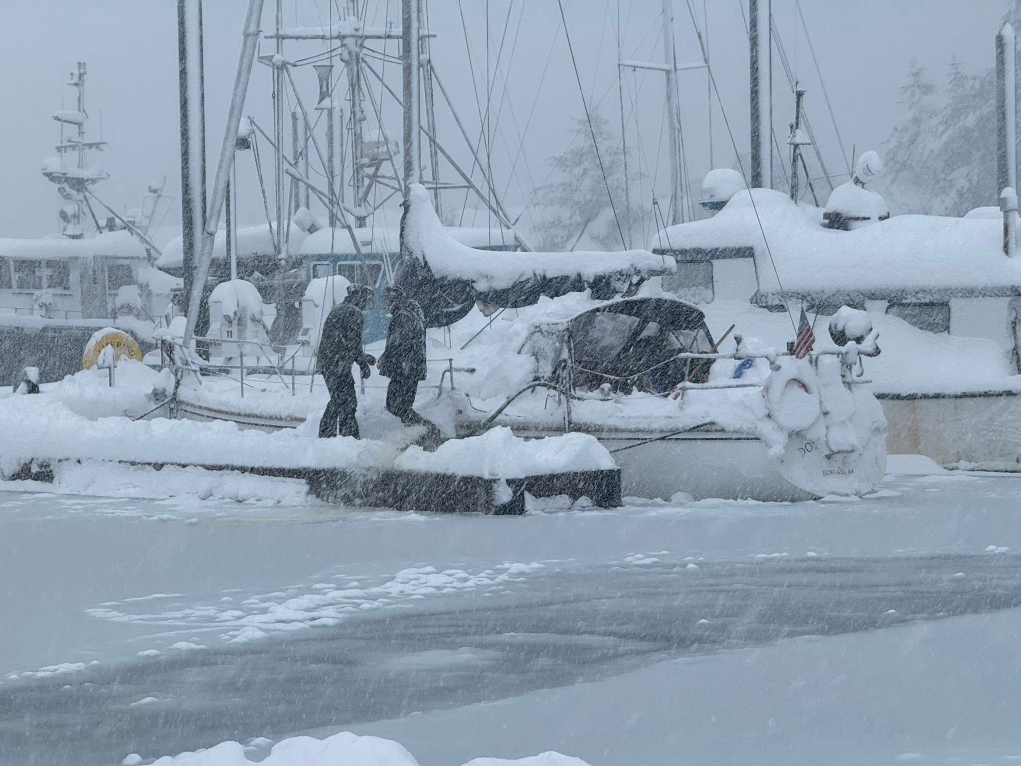
The state was hit with a snowier than normal December. Typically, Juneau sees between 40 and 50 inches of snow. But in December 2025, the snow total surpassed records, reaching a whopping 82 inches, or over seven feet.
The influx of snow caused large vessels to sink in the Juneau, Alaska, harbor. U.S. Coast Guard officials said heavy snow can quickly reduce stability and cause vessels to sink, which can lead to property damage and pollution.
HEAVY SNOW AND EXTREME WEATHER CAUSE SUNKEN VESSELS AND AVALANCHE RISK IN ALASKA
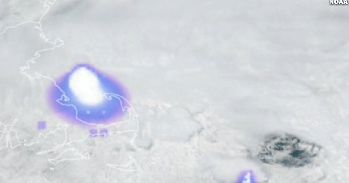
As the atmospheric river targets the Alaska Panhandle through Friday and into Saturday, heavy rain combined with warmer temperatures will lead to rapid snow melt across the region.
Precipitation is expected to start as snow in some areas, but warmer air will quickly move in, and the snow will change over to rain by Friday afternoon.
As of Thursday, there's still about three feet of snow on the ground in areas surrounding Juneau. Rapid snow melt could occur and significantly increase the risk of flash flooding, according to the FOX Forecast Center.
HOW DO ALASKANS COPE WITH NEARLY ALL-DAY DARKNESS IN WINTER, ALL-NIGHT DAYLIGHT IN SUMMER?
Snow and ice could potentially block storm drains, and raise the flood risk even more.
Rainfall totals are expected to range from 2 to 3 inches through the start of the weekend, with locally higher amounts in southern areas approaching 4 inches.
Flood Watches have been issued from Skagway through Juneau, and southward to Ketchikan.
Additional rounds of rain are likely into early next week as multiple areas of low pressure move through the region.
What's Your Reaction?
 Like
0
Like
0
 Dislike
0
Dislike
0
 Love
0
Love
0
 Funny
0
Funny
0
 Angry
0
Angry
0
 Sad
0
Sad
0
 Wow
0
Wow
0