


%20052026%20SOURCE%20Tello.jpg)


Historic blizzard 'bomb' smacks Northeast with vicious snow, winds as monster storm is still intensifying
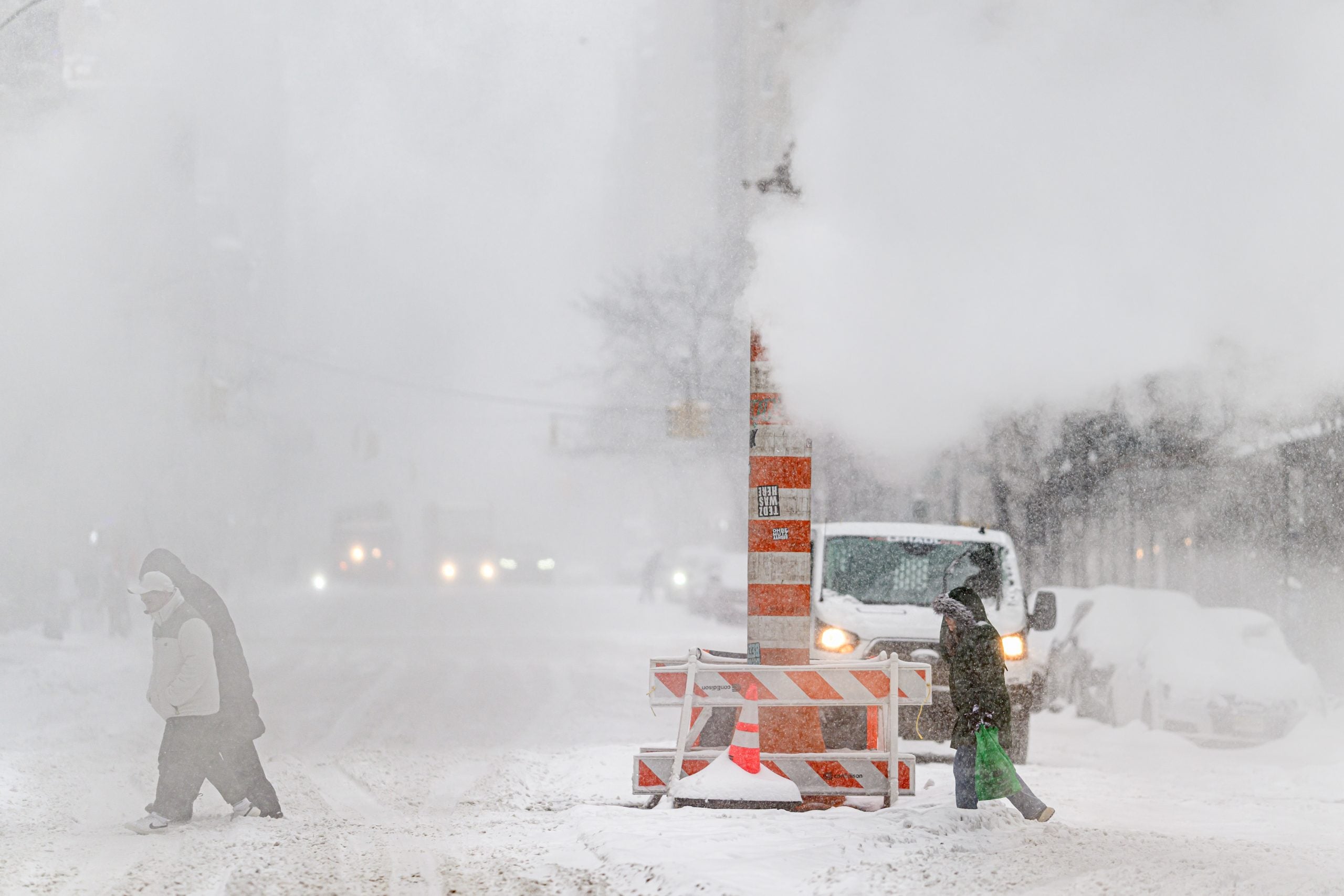
A historic nor’easter blizzard is hammering the I-95 corridor and could become one of the most significant snow events in years as millions are experiencing the impacts.
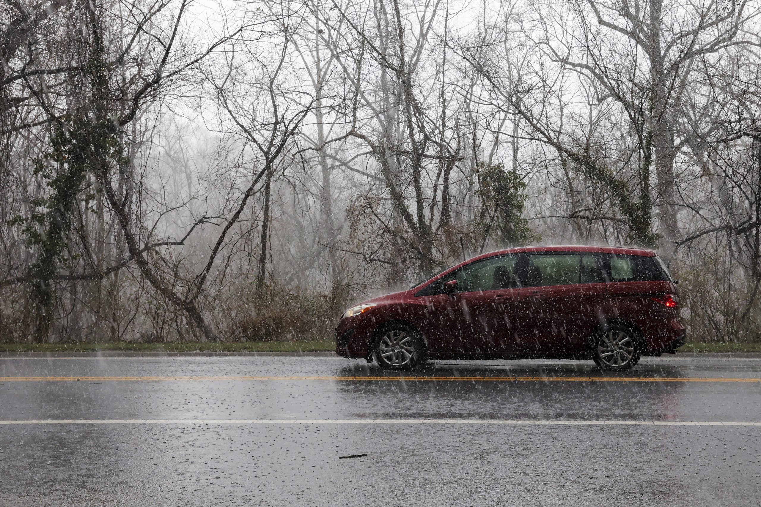
More than 250 thousand customers are without power as intense wind gusts continue and snow has already started to accumulate, crippling tree limbs in New Jersey, with some areas across the Northeast already surpassing a foot of snow.
Over 10,000 flights have already been canceled through Tuesday, accompanied by more than 8,000 delays.
LIVE UPDATES: PARALYZING BLIZZARD 'BOMB' SLAMS NORTHEAST, POWER OUTAGES SKYROCKET
States of Emergency were issued in New York and New Jersey and have now been expanded to Connecticut, Delaware, Massachusetts, Rhode Island and Maryland.
Blizzard Warnings are in effect for over 40 million people from Maryland to Massachusetts, including in New York City, New Haven, Connecticut, Providence, Rhode Island and Boston.
WHAT MAKES A BLIZZARD DIFFERENT FROM AN ORDINARY SNOWSTORM?
According to the FOX Forecast Center, this is the first Blizzard Warning in New York City since March 2017, and since January 2022 for Boston and Providence, highlighting the strength of this storm.
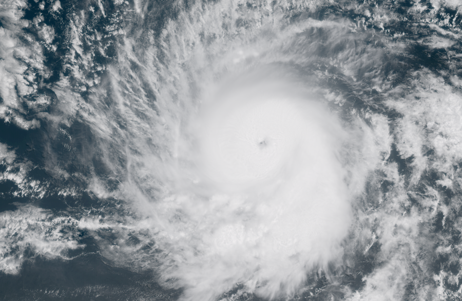
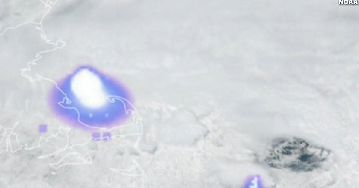
Most notably, overnight Sunday into early Monday, the nor’easter underwent rapid intensification and officially met the criteria for bombogenesis, becoming a bomb cyclone. Its central pressure fell from 1012 mb to 972 mb in less than 24 hours—a remarkable 40 mb drop.
HOW HIGH PRESSURE AND LOW PRESSURE DRIVE THE WEATHER
The storm will continue strengthening through Monday.
Power outages are likely to rise as the storm continues to move through.
In several major cities, this storm could rank among the top 10 — and possibly even the top five — snowstorms on record.
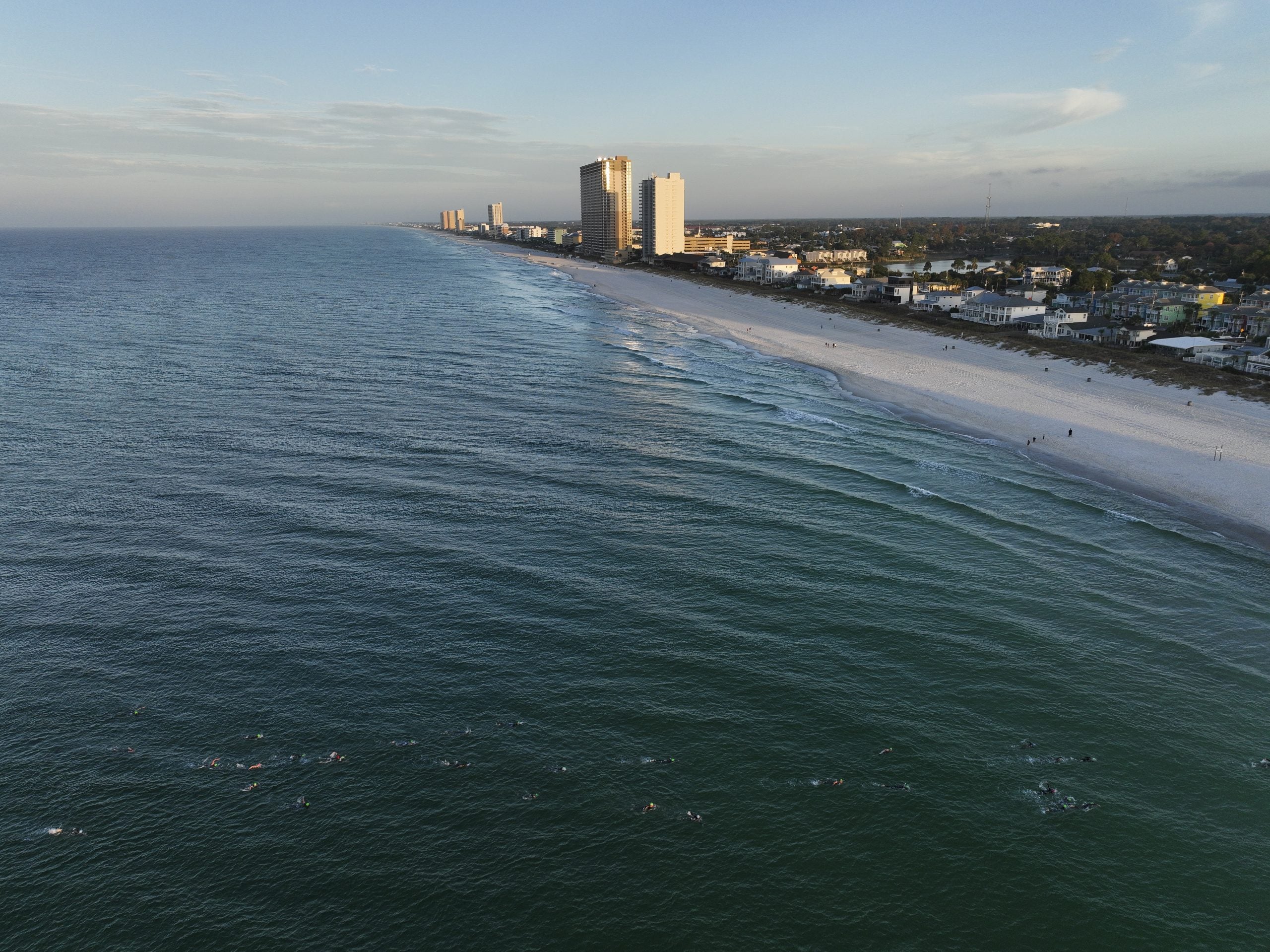
Coastal flooding is another concern for areas from Delaware to Maine, with Coastal Flood Warnings in effect lasting until Tuesday morning.
Significant beach erosion is likely with up to 3 feet of coastal flooding possible.
Around mid-morning, the storm will be fully off the coast and will begin the process of bombing out. At this time, those across central Pennsylvania down into northern Virginia, will notice the snow picking up.
Multiple Interstate highways in New Jersey are under a travel ban, along with New York City, and Westchester and Suffolk counties.
NJ Transit is also suspending services.
As the sun set, conditions rapidly went downhill as the storm explosively intensified off the coast.
Both Boston and New York City have closed all public schools ahead of the storm threat.
Extremely heavy snow developed during the overnight hours. Snowfall rates fell at 1–2 inches per hour and will continue Monday.
Some spots could even see rates peak at an incredible 3 to 4 inches per hour.
At this point, travel will be dangerous to near impossible as wind increases.
As the sun rises on Monday, the blizzard will be in full force. Heavy snow will be breaking out across Connecticut, Rhode Island and Massachusetts, accumulating between 1 and 3 inches each hour.
With winds continuing to strengthen, potentially topping 75 mph on the east end of Long Island and up into southeast New England, power outages will likely increase as the wind continues to blow all while heavy snow piles onto the branches of trees.
Snowfall of 1 to 2 feet is expected from Philadelphia to Boston, with the FOX Forecast Center calling for New Jersey and eastern Massachusetts to likely be the "jackpot" of this major storm.
These areas could see bands of intense snow, and several cities may experience one of their top 10, or even top 5, snowstorms on record.
Stick with FOX Weather for the latest updates as this storm continues to develop.
What's Your Reaction?
 Like
0
Like
0
 Dislike
0
Dislike
0
 Love
0
Love
0
 Funny
0
Funny
0
 Angry
0
Angry
0
 Sad
0
Sad
0
 Wow
0
Wow
0