


%20052026%20SOURCE%20Tello.jpg)


Historic blizzard to slam Northeast as New York City sees blizzard warning for first time in nearly a decade
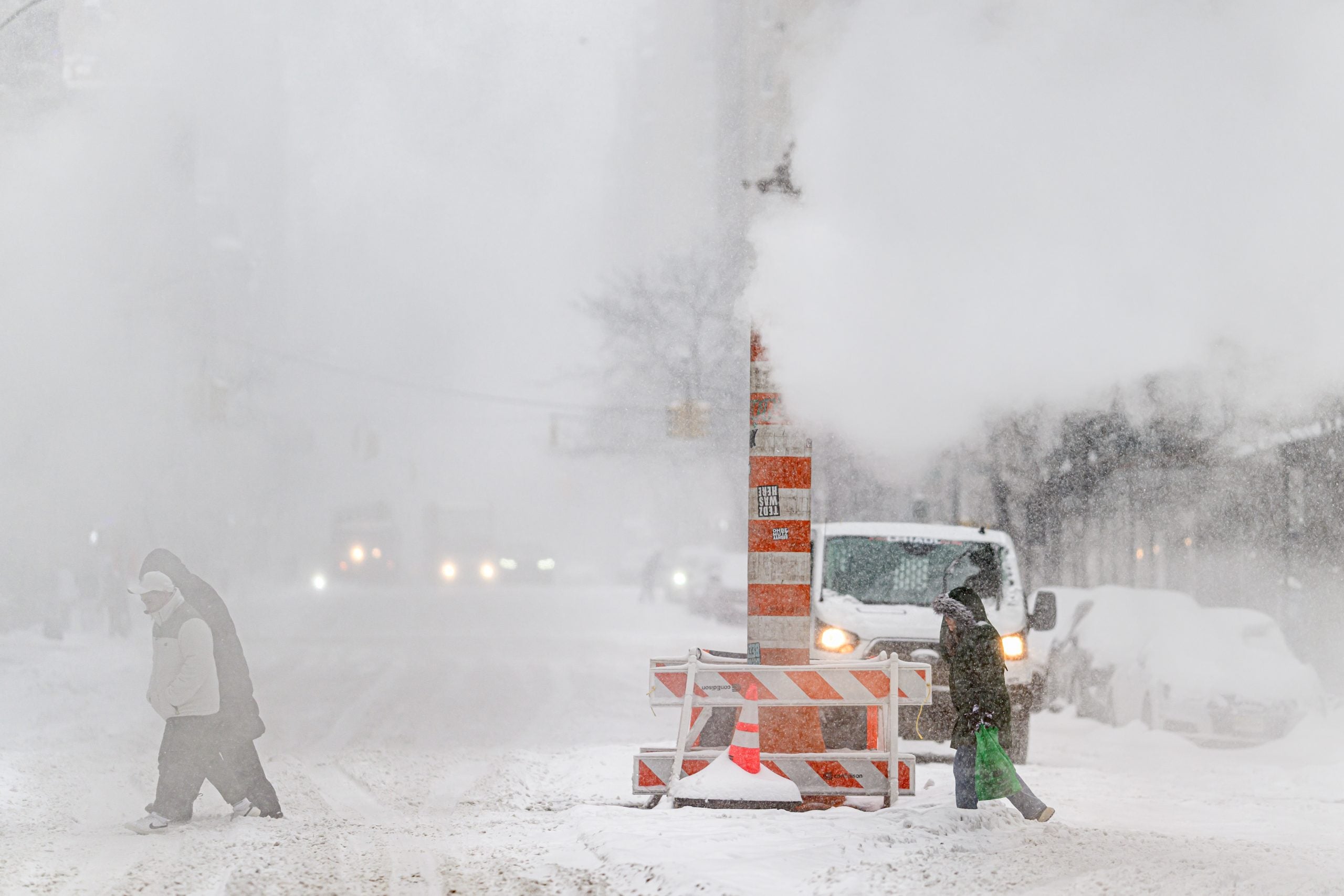
NEW YORK – A Blizzard Warning has been issued for New York City starting on Sunday as a monster nor'easter is set to dump more than a foot of snow on the largest city in the U.S.
Snow is expected to start on Sunday afternoon and the forecasts have increased yet again, now making the brewing storm one of the biggest snowstorm threats in years for major Northeast cities like Boston, Philadelphia and New York City.
A Blizzard Warning goes into effect from 6 a.m. Sunday through 6 p.m. on Monday for New York City, Long Island and the New Jersey shore for a very high-impact event.
WHAT MAKES A BLIZZARD DIFFERENT FROM AN ORDINARY SNOWSTORM?
It's the first Blizzard Warning for New York City in nearly a decade, since 2017.
The Big Apple is forecast to get between 12-18 inches of snow from Sunday into Monday.
Blizzard conditions are characterized by snow, wind gusts of 35 mph or higher and visibility of less than 1/4 mile for three straight hours.
Wind gusts of 50 mph are forecast for New York City during this event.
The snow and wind combination will make for extremely dangerous travel conditions.
NOR'EASTER BOMB CYCLONE TRACKER: LIVE RADAR, SNOW FORECAST, WINTER ALERTS, WIND GUSTS AND MORE
New York City Emergency Management Agency advised residents to limit travel, dress warmly if you need to leave and stay inside as much as possible.
Power outages are possible in Queens, Brooklyn, the Bronx, Staten Island, Long Island and New Jersey.
WHAT TO DO DURING A WINTER STORM POWER OUTAGE
New York City and areas westward will see an end to the snow during the day on Monday.
Snow will continue to impact Long Island up through Maine through Monday night.
By Tuesday morning, snow will be over for everyone in the Northeast, according to the FOX Forecast Center.
What's Your Reaction?
 Like
0
Like
0
 Dislike
0
Dislike
0
 Love
0
Love
0
 Funny
0
Funny
0
 Angry
0
Angry
0
 Sad
0
Sad
0
 Wow
0
Wow
0