Tracking complex winter storm threatening snow across the East by midweek

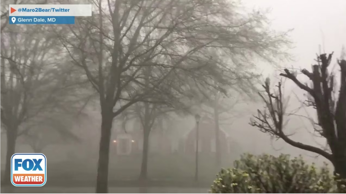
The FOX Forecast Center is tracking the next potential winter storm that could bring a swath of snow across the East, including the Tennessee River Valley, the Carolinas, the Mid-Atlantic and the Northeast.
Because the storm is complex and is expected to begin Wednesday night and continue through Friday, the exact track and positioning of the system will be critical in determining who sees snow and how significant the impacts may be.
The East is becoming more active as the threat of a winter storm increases by the middle of the week and is set to arrive differently than recent storms.
EAST COAST EYEING RAIN AND SNOW AS NEW STORM SYSTEM BREWS WITH RETURN OF LA NIÑA PATTERN
The FOX Forecast Center said the storm will originate from a potent clipper, rather than a traditional cross-country or coast-to-coast storm.
As the clipper moves through the Great Lakes and Northeast from late Tuesday into Wednesday, it will drive a strong cold front southward into the Southeast.
The cold front is expected to stall, and ahead of it, a more organized area of low pressure is likely to develop over the Appalachians and parts of the Southeast.
Due to a favorable position with the accompanying dip in the jet stream, the low will likely form rapidly.
As it strengthens, colder air will be drawn southward while moisture wraps around the system. This will set the stage for snow to break out across the Tennessee River Valley and southern Appalachians before expanding northward.
According to the FOX Forecast Center, this will be a hybrid system, with no single dominant surface low early on to track the storm.
"The cold front associated with the clipper will play a key role throughout the storm’s evolution, acting as the main boundary that helps steer and organize the winter weather," the FOX Forecast Center said.
IMPACTFUL SNOW, RAIN EYEING EAST COAST AS LA NIÑA WINTER MAKES ITS RETURN
As the front advances eastward, its own moisture and cold air could help expand snowfall into the Mid-Atlantic and New England by Thursday.
The storm will begin to transition as Thursday progresses.
The original cold front will gradually weaken as the newly developed low takes over. At the same time, colder air may race east and wrap more efficiently into the system.
How this process unfolds will largely determine snowfall potential closer to the coast, including along the Interstate 95 corridor.
IMPACTFUL SNOW, RAIN EYEING EAST COAST AS LA NIÑA WINTER MAKES ITS RETURN
As the storm is very complex, the FOX Forecast Center said these key questions remain:
These factors will take time to resolve, but there is "a plausible scenario in which a more impactful snowstorm develops near or along the I-95 corridor late Thursday into Friday," according to the FOX Forecast Center.
Confidence is higher farther south, particularly across the Appalachians, as the setup favors cold air colliding with upslope terrain, which could lead to significant snowfall totals in those areas.
The complex evolution of this system makes it difficult to pin down snowfall amounts from the Southeast through the Northeast. And especially in the Northeast, totals could range from little to no accumulation to plowable snow.
What's Your Reaction?
 Like
0
 Dislike
0
 Love
0
 Funny
0
 Angry
0
 Sad
0
Sad
0
 Wow
0
Wow
0


