


%20052026%20SOURCE%20Tello.jpg)


Severe weather setup threatens millions as tornadoes and flash flooding loom in the South

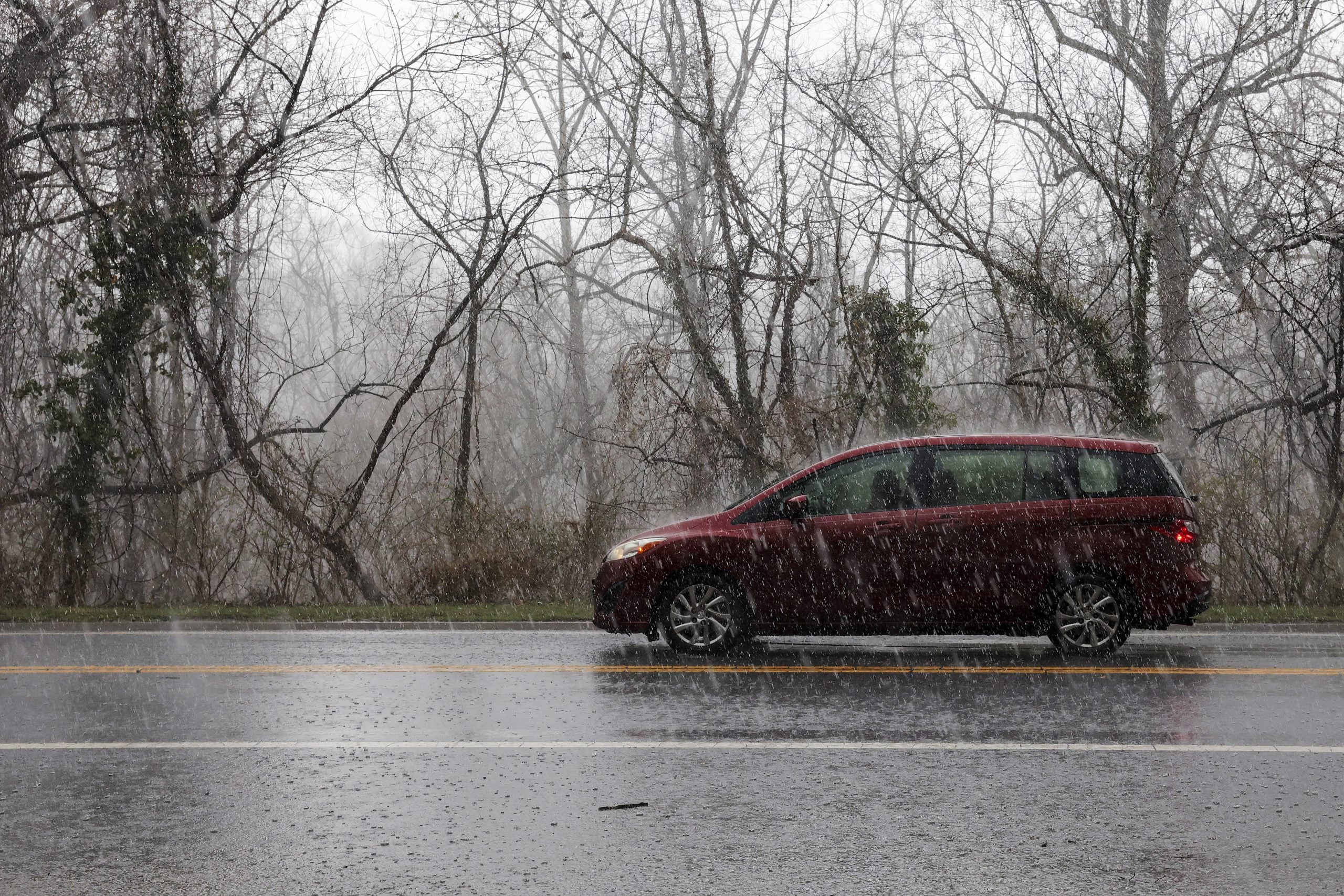
A pair of cross-country storms are developing and are pushing from the corners into the Midwest, allowing for rounds of heavy rain and a barrage of severe weather, threatening millions across the South with potential tornadoes, damaging winds and flash flooding.
Very moist air and strong wind shear will provide the classic ingredients for the recipe of Southern severe storm conditions, with the greatest instability remaining closer to the Gulf Coast.
Over eight million people are under a 2 out of 5 severe storm risk that is in place across parts of Louisiana, Mississippi and western Tennessee, with the highest risk extending from Baton Rouge, Louisiana, north to Memphis, Tennessee and east to Birmingham, Alabama.
According to the FOX Forecast Center, the main threats are damaging straight-line winds and a few brief, spin-up tornadoes.
TORNADO RIPS THROUGH PURCELL, OKLAHOMA SPAWNING TRAIL OF DAMAGE
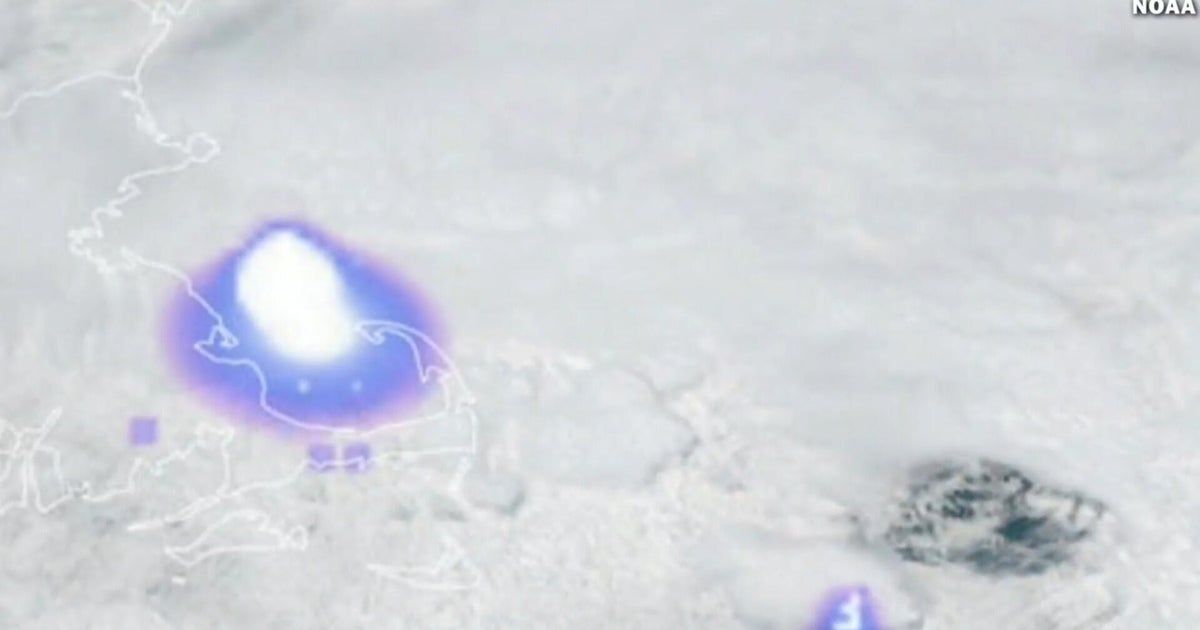
The continued threat for tornadoes comes after a strong EF-1 tornado ripped through Purcell, Oklahoma, as a line of storms moved through the area. Though no one was injured, the tornado left a trail of destruction, downing power lines and uprooting trees. The National Weather Service in Norman is still surveying the damage.
In a classic set up for severe weather in the South, multiple rounds of storms are expected Friday from the Tennessee Valley to the Gulf Coast, elevating the threat of flash flooding.
The first round will arrive on Friday morning into midday, followed by another round later in the afternoon and overnight.
Given the abundant moisture and the likelihood of repeated rounds of storms, flash flooding remains a concern across middle Tennessee, northern Alabama and Mississippi.
Currently, a Level 2 out of 4 flash flood threat exists from just north of Nashville southward into north Alabama and Mississippi.
Rainfall totals will generally range from 2 to 3 inches across most of the Tennessee Valley; however, isolated pockets could see totals reach up to 5 inches.
Flood Watches are now up from New Orleans through Nashville, extending over 600 miles.
Much of the areas included in flood watches are currently in a drought, increasing the risk for flash flooding as the expected rainfall rates may exceed what the dry ground can absorb.
Severe weather may continue into Saturday as the cold front moves east. A level 1 out of 5 severe storm risk is already in place across parts of Georgia and the Carolinas.
As the storm exits the region, the possibility of flash flooding remains across east Tennessee and western North Carolina.
What's Your Reaction?
 Like
0
Like
0
 Dislike
0
Dislike
0
 Love
0
Love
0
 Funny
0
Funny
0
 Angry
0
Angry
0
 Sad
0
Sad
0
 Wow
0
Wow
0