


%2031.jpg)


Severe storm threat increases across Southern Plains as weekend storms target 55M with large hail, tornadoes
More than 55 million people are in the threat zone for a dangerous weekend severe storm threat across the South and Central U.S., with the potential for large hail, damaging winds and strong tornadoes.
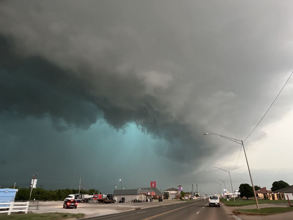
After a monster EF-4 tornado hit Enid, Oklahoma, Thursday, parts of the state are once again in the bull's-eye of today's severe weather.
NOAA's Storm Prediction Center (SPC) has issued a Level 4 out of 5 risk of severe thunderstorms over southeastern Oklahoma due to increasing confidence in baseball-sized hail and strong tornadoes developing this afternoon.
A broader Level 2 threat stretches from Kansas to parts of North Texas and the Ark-La-Tex region.
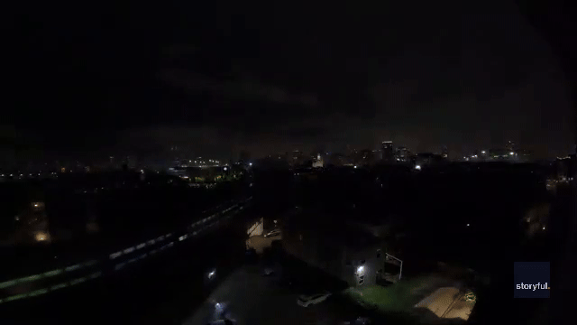
Meanwhile, Tornado Warnings were ongoing early Saturday across parts of Louisiana — energy left over from Friday's storms.
Severe weather even reached the Midwest Friday, including Indianapolis, where social media video showed tornado sirens blaring during a Severe Thunderstorm Warning Friday. Police said wind gusts were strong enough to knock down several trees onto local roads.
A 59 mph wind gust was clocked at Indianapolis International Airport Friday evening.
According to the FOX Forecast Center, a deepening low will move across the Texas Panhandle throughout today, and a dryline will extend southward from it into the central and western parts of the state.
To the north, a warm front is expected to push northward across Oklahoma and northern Texas (the Ark-La-Tex region).
Strong instability along and east of the dryline, as well as near and south of the warm front, will be the areas to watch for storm development.
WHAT IS A DRYLINE FOR SEVERE WEATHER?
The greatest potential for strong tornadoes will be along and just south of the warm front, from Oklahoma City into southeast Oklahoma.
Hail greater than 3" is also expected over portions of southeast Oklahoma and northern Texas.
These storms could develop into supercells later in the night, posing a risk of very large hail and damaging winds.
As the severe weather threat continues overnight and into Sunday morning, another area of low pressure is expected to move out of the Rockies and back into the Plains.
A level 3/5 severe storm threat extends from Central Kansas to Western Missouri for Sunday, with a broader level 2/5 severe threat extending from Southern Nebraska to Northern Texas.
As the system intensifies, moist air and increased instability will be directed towards a warm front extending into Missouri and Arkansas.
As the severe storm threat develops, isolated to scattered supercells could develop along the dryline extending into South Texas by Sunday afternoon.
By the evening and into the overnight hours, storm development could expand, with an increasing potential for strong tornadoes, large hail and damaging winds.
Stay tuned to FOX Weather all weekend long as we continue tracking the development live of these severe storms.
What's Your Reaction?
 Like
0
Like
0
 Dislike
0
Dislike
0
 Love
0
Love
0
 Funny
0
Funny
0
 Angry
0
Angry
0
 Sad
0
Sad
0
 Wow
0
Wow
0