


%20052026%20SOURCE%20Tello.jpg)


La Niña winter is coming back. Expect a warmup in the West and cold in the Northern Tier
Since the start of the New Year, the La Niña pattern that has dominated much of the winter has temporarily been put on pause, but that's about to change.
Now is not the time to celebrate or get comfortable, because long-range forecast guidance indicates a return to typical La Niña conditions, bringing warmer temperatures back to the West and delivering cooler air with snow potential across the Northern Tier to the East.
WHAT ARE EL NIÑO AND LA NIÑA CLIMATE PATTERNS?
While this pattern briefly flipped to promote a classic January thaw east of the Rocky Mountain Range, long-range forecasts indicate a return to typical La Niña conditions by mid to late January.
Over the next couple of weeks, a notable shift in the weather pattern is expected as a strong ridge of high pressure over the eastern Pacific moves into the western United States.
This will likely bring an end to widespread rain and snow along much of the West Coast through next week and possibly beyond.
Rounds of record-breaking precipitation have soaked Southern California over the last two weeks, so the ridge of high pressure is forecast to dull precipitation and will bring a much-needed break to battered areas in the Golden State.
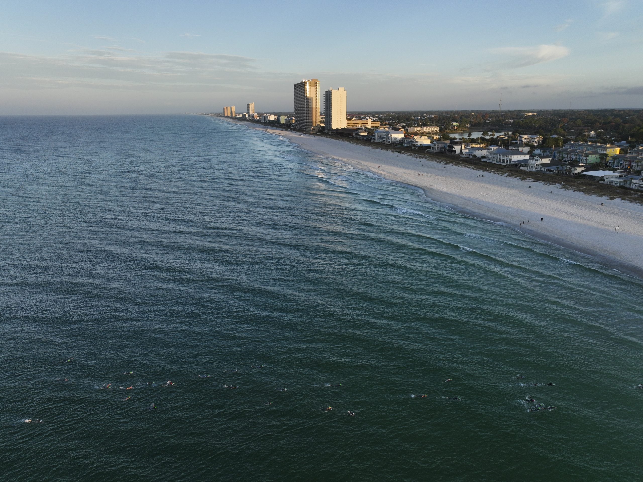
The same goes for the Pacific Northwest, where La Niña conditions will likely feature below average precipitation totals in Oregon and Washington, which both saw major river flooding after atmospheric river events soaked the region in December.
Forecasts suggest the ridge will remain in place, keeping the jet stream well north and resulting in below-average precipitation and a return to warmer-than-average temperatures.
To close out 2025, December featured a classic La Niña winter pattern across the Lower 48, with record warmth along the West Coast driven by a strong ridge of high pressure and colder air with snow across the northern Plains and Northeast.
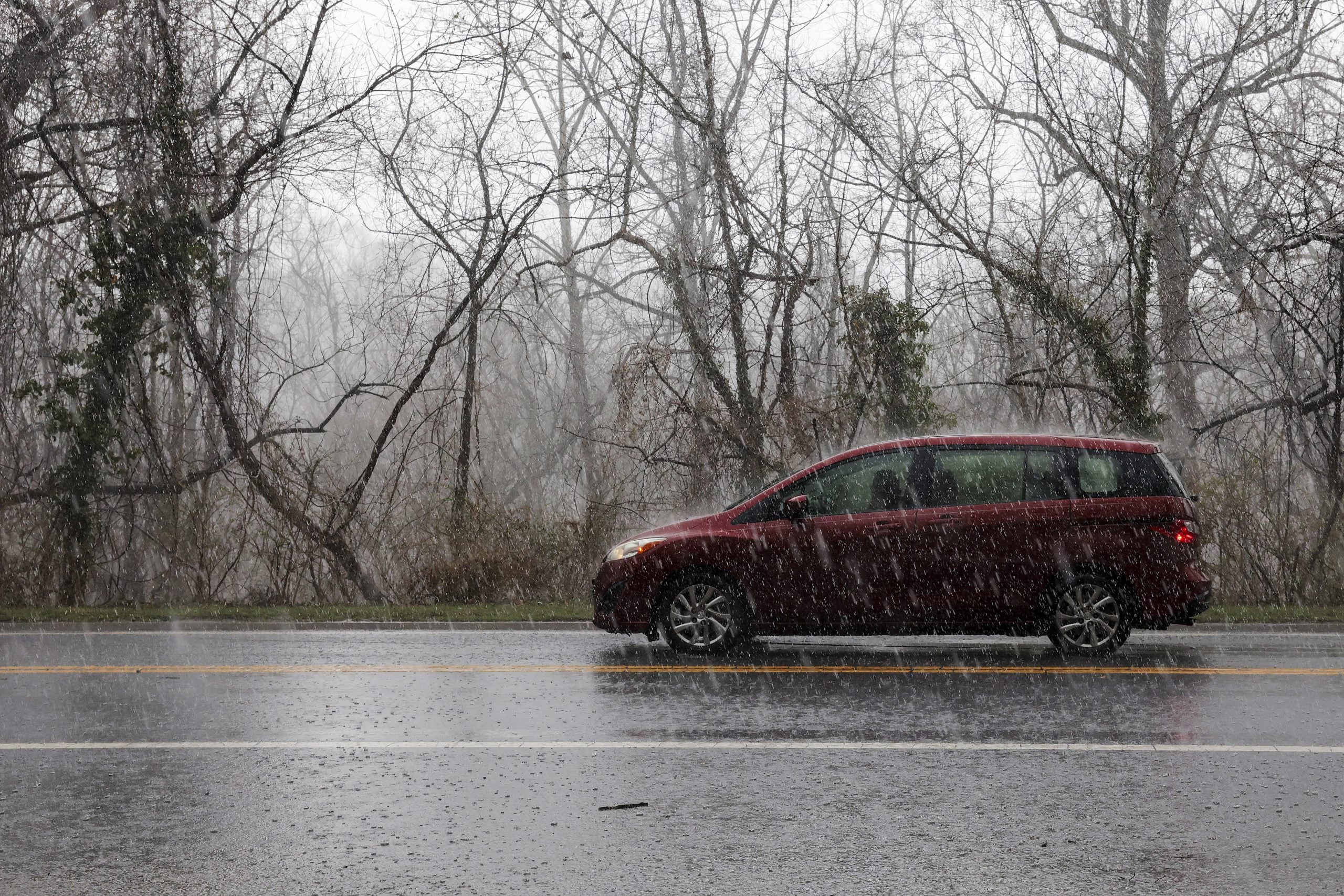
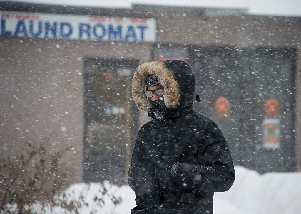
As the ridge strengthens in the West, the jet stream is expected to extend from southern Canada into the Southeast, similar to December's weather pattern. This setup increases the likelihood of colder air pushing into the Upper Midwest and Northeast, where below-average temperatures are expected in mid to late January.
With cold temperatures associated with the dip in the jet stream returning east, skiers across the Northeast could be in luck. Along with cold temperatures, La Niña conditions increase the chances of a significant winter snow event as a more active weather pattern looks likely.
Overall, this pattern is consistent with a winter influenced by weak La Niña conditions in the equatorial Pacific.
Longer-range forecast models show the possibility of a system developing along the East Coast as this pattern begins to take shape. The FOX Forecast Center notes that changes in the forecast can occur since we are over a week and a half out.
The FOX Forecast Center will continue to monitor the latest changes as the return to La Niña conditions approaches.
What's Your Reaction?
 Like
0
Like
0
 Dislike
0
Dislike
0
 Love
0
Love
0
 Funny
0
Funny
0
 Angry
0
Angry
0
 Sad
0
Sad
0
 Wow
0
Wow
0