









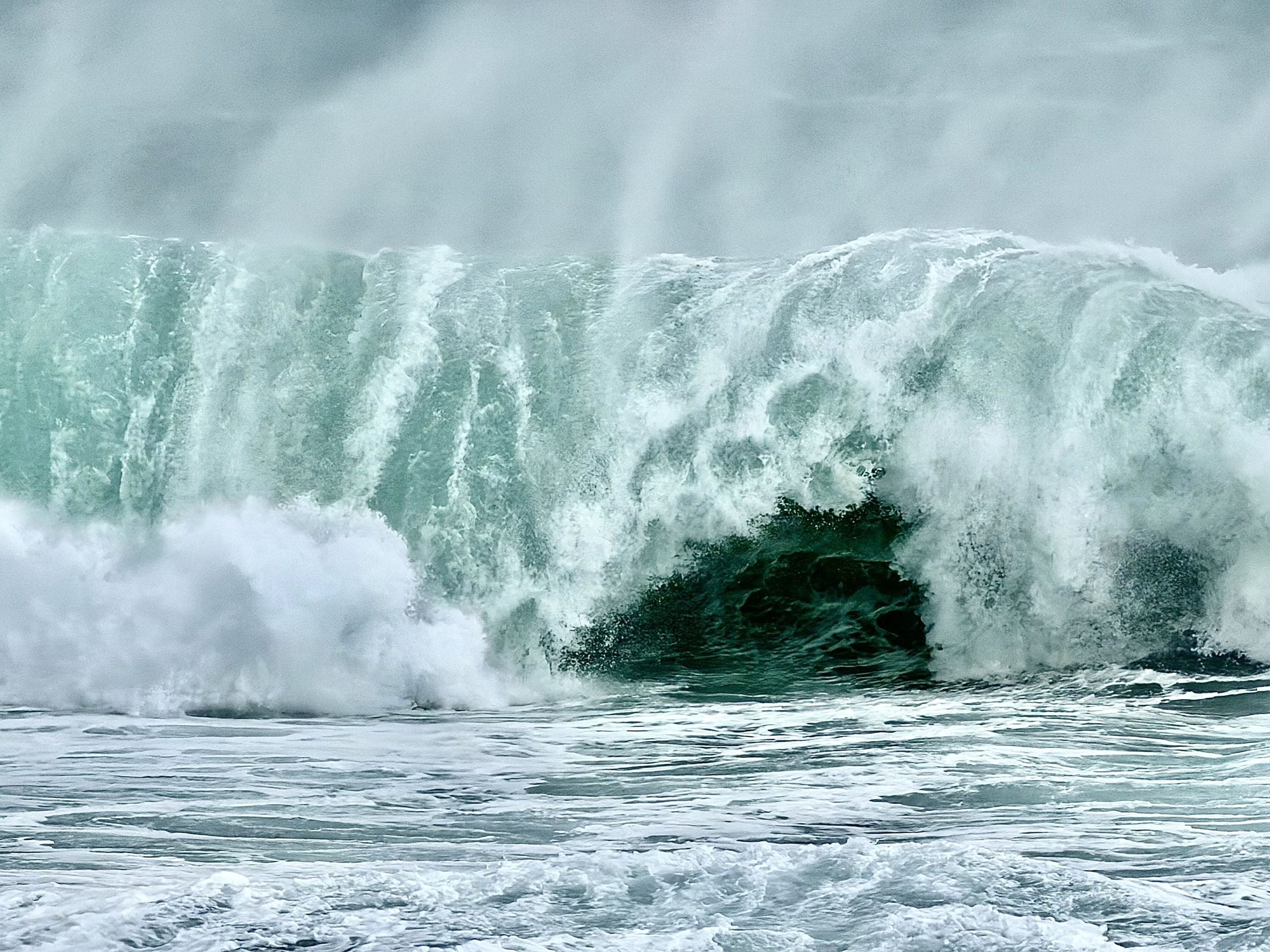
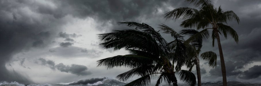



El Niño surges toward 'monster' territory, signaling an active winter for East and West coasts

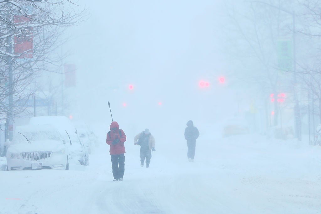
New seasonal forecast data from the European Centre for Medium-Range Weather Forecasts (ECMWF) shows that the El Niño event in the central Pacific Ocean is rapidly surging toward record territory, which increases the odds of a wetter winter for both the East and West coasts of the U.S.
"The latest data from the ECMWF's plume of forecast members is surging toward the top of the charts, confirming that a monster El Niño is rapidly locking into place," the FOX Forecast Center said.
WHAT ARE EL NINO AND LA NINA CLIMATE PATTERNS?
El Niño is one of three phases of a climate cycle called the El Niño-Southern Oscillation (ENSO). It describes natural temperature changes in the central Pacific Ocean that alter atmospheric circulation and can greatly influence global weather.
NEW DATA REVEALS 100% CHANCE OF STRONG ‘SUPER’ EL NINO FORMING THIS YEAR
El Niño describes warmer than average water across the equatorial Pacific, while La Niña describes colder than average water conditions, and ENSO neutral refers to a state where temperatures are close to average.
When sea surface temperatures in the El Niño zone reach at least 2 degrees Celsius above average, many meteorologists consider a "super" El Niño to be underway.
The latest ECMWF seasonal forecast projects sea surface temperature anomalies peaking between 3 and 4 degrees Celsius above average — which would be historic territory.
During El Niño, above-average water temperatures in the central and eastern Pacific Ocean produce strong winds that hinder tropical development in the Atlantic and enhance development in the Eastern Pacific.
Despite its impact on hurricane season, most of the impacts of El Niño events are felt during the winter months rather than the summer over the U.S., with this particular El Niño expected to reach peak strength from November through January.
The ECMWF model projects a greater likelihood of above-average precipitation for the East, especially the coastal regions, stretching from New England all the way through Florida.
HERE'S HOW EL NIÑO AFFECTS THE FUTURE OF CORAL REEFS
In addition, temperatures are forecast to be near or just slightly above average. Combined, these conditions could increase the chances for winter storms during the holidays and into the colder months.
Meanwhile, much of the West Coast, including all of California, is expected to see increased chances of above-average rain due to a wider and wavier Pacific jet stream helping steer more storms into the region. The jet stream acts as an atmospheric conveyor belt for storms, guiding them across the Pacific and onto the West Coast.
"For California, this setup raises the risk of atmospheric rivers, potentially bringing heavy rain to the lowlands and a high threat of flooding," the FOX Forecast Center said.
Farther north, much of the Pacific Northwest could end up on the drier and warmer side of this setup, as the primary storm track gets pinned south of Oregon.
However, this kind of extreme global pattern is not built for endurance. In fact, the stronger the El Niño event becomes, the more rapidly it tends to self-destruct.
According to the FOX Forecast Center, since 1970, there have been five recorded Super El Niño events followed by a swift decline into either neutral or La Niña conditions.
On Thursday, NOAA's Climate Prediction Center (CPC) will release its latest ENSO forecast, which should provide more indications of exactly how powerful this El Niño event will become.
What's Your Reaction?
 Like
0
Like
0
 Dislike
0
Dislike
0
 Love
0
Love
0
 Funny
0
Funny
0
 Angry
0
Angry
0
 Sad
0
Sad
0
 Wow
0
Wow
0