












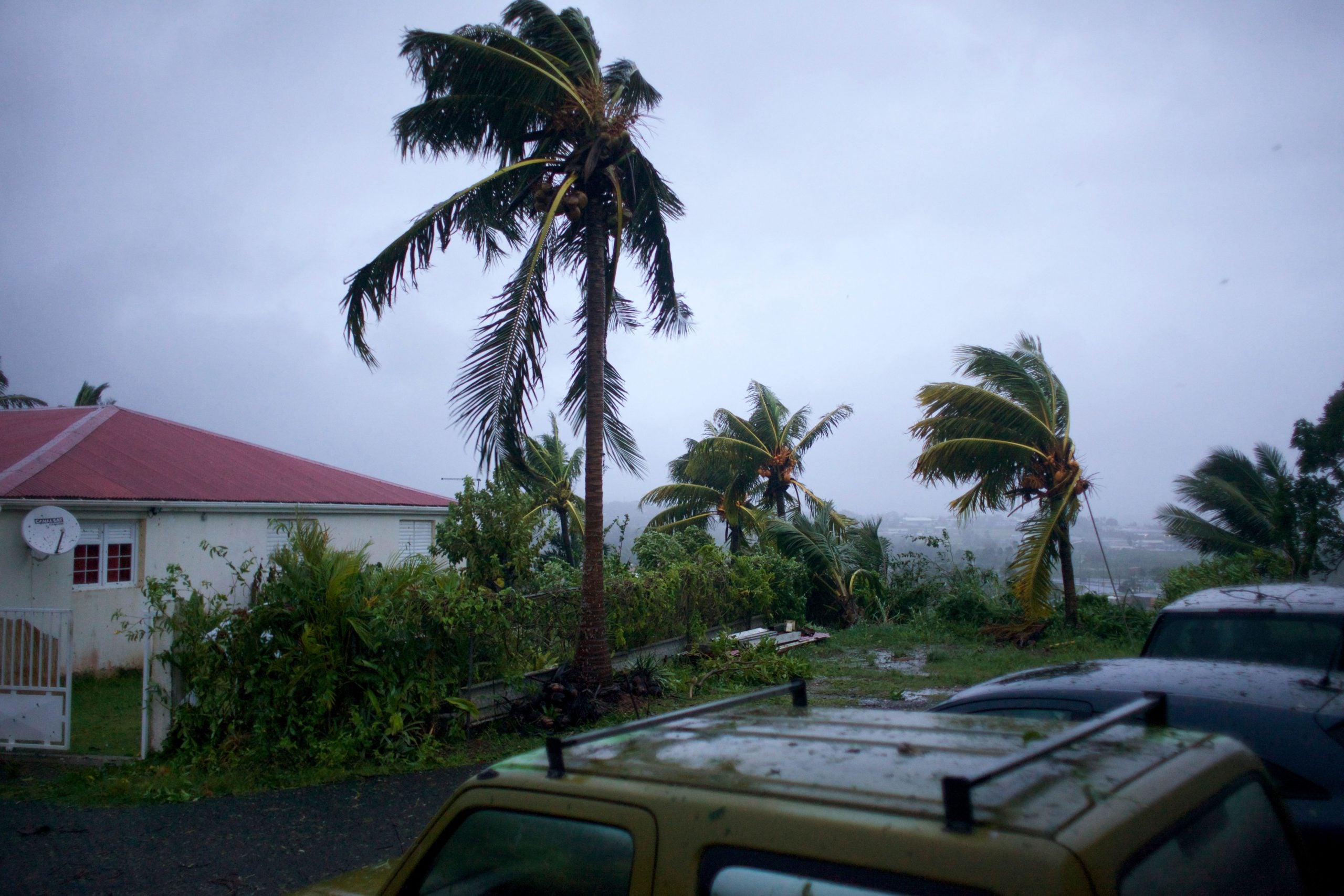





Brewing Super El Niño helps support monster Super Typhoons across the Western Pacific

THE TAKEAWAY
Typhoon In-Fa blasted past the northernmost islands of the Northern Mariana Islands in the Western Pacific on Saturday as the equivalent of a powerful Category 4 hurricane. In-Fa had weakened from super typhoon status and was the seventh super typhoon to form in the Western Pacific this year as a strong El Niño warms the waters across the basin.
The most Super Typhoons that have ever occurred in a single year is 11, which happened in 1997 and 1965, which were both Super El Niño years.
WHAT'S THE DIFFERENCE BETWEEN A TYPHOON AND A SUPER TYPHOON?
The Western Pacific produces more tropical cyclones than any other basin because, unlike in the Atlantic and the Central and Eastern Pacific, typhoons can form year-round in the Western Pacific, although the main season is July through November, according to NOAA.
El Niño warms water temperatures across much of the Pacific in the Northern Hemisphere, which helps fuel tropical development.
WHAT IS THE DIFFERENCE BETWEEN A HURRICANE AND A TYPHOON?
NOAA expects to declare Super El Niño conditions later this year, with an 83% chance of becoming the strongest El Niño since record-keeping began in 1950.
Take a look at some of the Western Pacific's strongest super typhoons this year, including the strongest storms on the planet in 2026:
In-fa strengthened into a powerful Super Typhoon on Oct. 28, with maximum sustained winds of 150 mph.
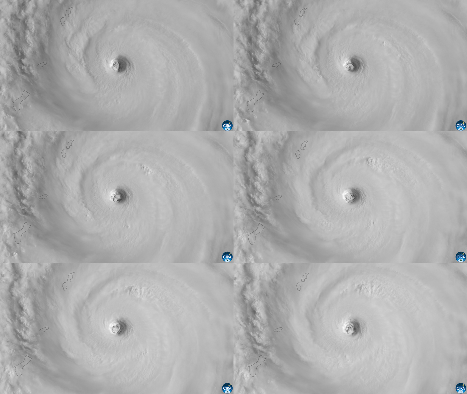
In-Fa became a classic annular storm with a massive eye and lack of rain bands.
It's forecast to gradually weaken in the open Pacific next week.
Earlier in October, Super Typhoon Champi tied Super Typhoon Sinlaku as the strongest storm to form in any basin this year with maximum sustained winds of 185 mph.
Champi was still a powerful Super Typhoon when its eye passed just south of Guam on Oct. 18.
The storm went on to cause significant damage and injured hundreds of people in northern Taiwan.
Like Champi, Sinlaku peaked as a powerful Super Typhoon, with winds of 185 mph on April 12.
Sinlaku became the first typhoon to make a direct hit on Saipan and Tinian in the U.S. territory of the Northern Mariana Islands since Yutu caused widespread destruction in 2018.
TYPHOON SINLAKU MAKES DIRECT HIT ON US TERRITORIES IN PACIFIC, BLASTING SAIPAN WITH 130 MPH WINDS
Sinlaku caused widespread devastation across Saipan and Tinian, leaving an estimated $1.5 billion plus in damage.
Super Typhoon Bavi reached peak intensity on July 5, with winds of 180 mph.
Bavi's eye passed directly over Rota on July 6, the southernmost island in the Northern Mariana Islands, with maximum sustained winds still reported at 180 mph by the Joint Typhoon Warning Center.
SUPER TYPHOON BAVI REACHES 'GARGANTUAN' SIZE AS IT BARRELS TOWARD TAIWAN AND CHINA
Bavi caused widespread power outages on the Northern Mariana Islands and Guam.
A landfall on Guam or the Northern Mariana Islands is rare due to their small size, but the islands have now seen impacts from six tropical systems this year.
El Niño is one of three phases of a climate cycle called the El Niño-Southern Oscillation (ENSO). It describes natural temperature changes in the central Pacific Ocean that alter atmospheric circulation and can greatly influence global weather.
Water temperatures in the central equatorial Pacific, averaged more than 2 degrees Celsius above normal in September, which is considered Super El Niño territory.
Temperatures have to remain 2 degrees above average for three months to officially be considered a Super El Niño event.
What's Your Reaction?
 Like
0
 Dislike
0
 Love
0
 Funny
0
 Angry
0
 Sad
0
 Wow
0