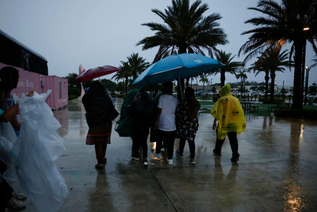


Another round of severe storms to lash the South with large hail, possible tornadoes over the weekend
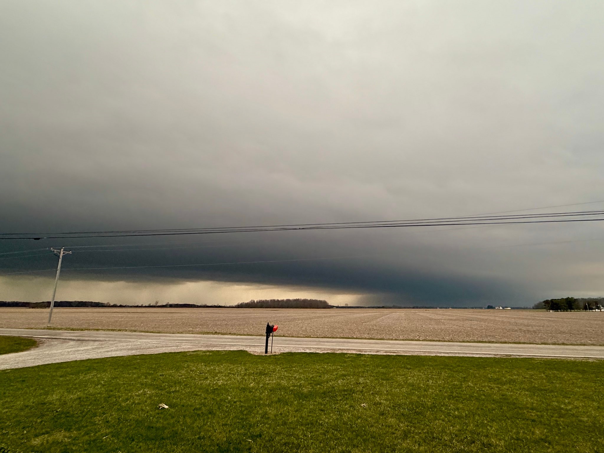
We are tracking days of severe storms that are not expected to let up anytime soon. Multiple systems will impact different parts of the South through at least Monday, with the greatest impacts expected Saturday and Sunday.
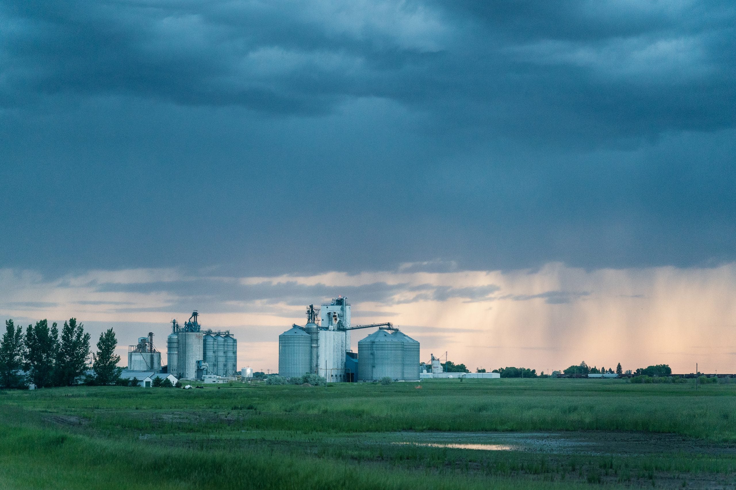
NOAA's Storm Prediction Center said storms capable of producing tornadoes, hail and damaging wind gusts are most likely to form between Oklahoma and northward into Minnesota before the threat shifts south and east into the Mississippi Valley on Friday.
The severe threat will shift toward the Mississippi Valley as a surface cold front pushes across the Plains, according to the FOX Forecast Center.
Daytime heating of a moist air mass is expected to result in a resurgence of instability, creating an environment favorable for another round of severe thunderstorms.
These storms are expected to impact portions of northeast Texas, northern Louisiana and much of Arkansas. There is a Level 2 out of 5 severe storm risk in place.
RISING WATERS: DAYS OF HEAVY RAIN CAUSE RIVERS IN MICHIGAN AND WISCONSIN TO EXCEED LIMITS
Cities included in Friday's threat area include Dallas, Shreveport and Little Rock, according to the FOX Forecast Center.
Severe weather is expected to continue on Saturday, with storms developing in the late afternoon along a lifting warm front across the Southern Plains.
In turn, these supercells will then grow into a line of storms capable of producing all severe hazards, including tornadoes.
This has prompted a Level 3 of 5 severe storm risk across portions of southern Kansas and northern Oklahoma, which includes Wichita and Tulsa.
WHAT IS A DRYLINE AND WHY IS ITS LOCATION IMPORTANT IN SEVERE WEATHER FORECASTING?
On Sunday, a stronger system is expected to develop across the Plains, with a sharp dryline extending south into Texas.
Strong southerly winds ahead of it will transport ample moisture northward, combining with strong instability and wind shear. Because of this, a potentially significant severe weather event is expected late Sunday afternoon and into the evening, with all hazards possible.
As the surface low moves eastward into the lower Mississippi Valley on Monday, the threat for severe thunderstorms will shift into the mid-South, with cities such as Memphis, Jackson, Birmingham and Nashville in the crosshairs to start the workweek.
All severe weather hazards will be possible as plenty of storm energy and deep shear will allow for more supercells to develop.
However, the FOX Forecast Center said the severe storm threat on Monday will depend entirely on how Sunday unfolds.
"If severe storms are not widespread across the Plains on Sunday, then more moisture and instability will be able to stream into the Mississippi Valley, potentially supporting a higher-end severe storm event," the team noted.
That said, the threat could continue into Tuesday across the Southeast, but uncertainty still remains.
WHAT IS A SUPERCELL THUNDERSTORM?
With multiple days of rain over the same areas, flash flooding will be possible. A widespread 2 to 3 inches of rain is expected through Tuesday from Missouri to Georgia, with localized totals of 3 to 5 inches or more possible across Mississippi, Alabama and Tennessee.
What's Your Reaction?
 Like
0
Like
0
 Dislike
0
Dislike
0
 Love
0
Love
0
 Funny
0
Funny
0
 Angry
0
Angry
0
 Sad
0
Sad
0
 Wow
0
Wow
0