


Northern Plains brace for explosive weekend storms with damaging winds, hail threat
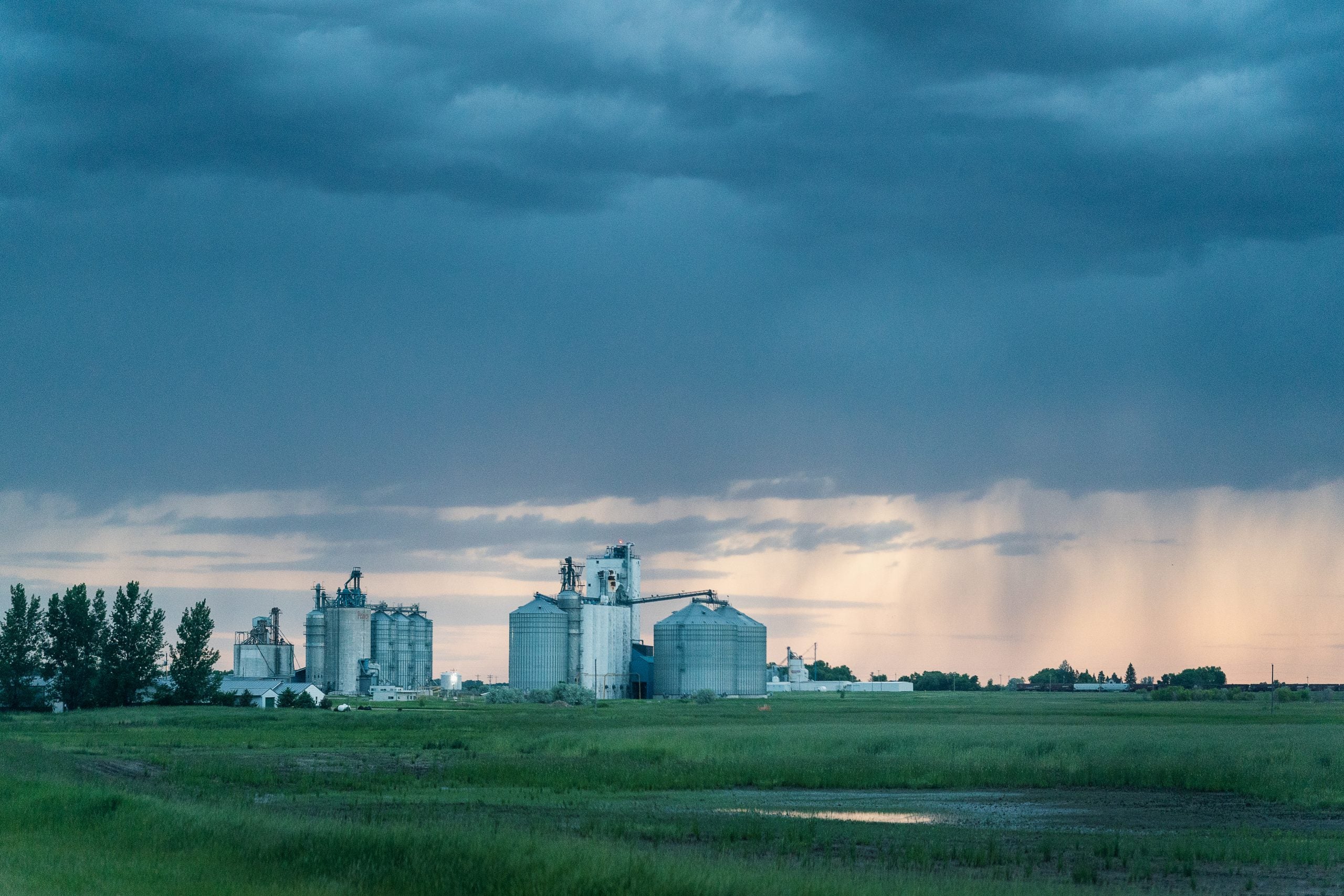
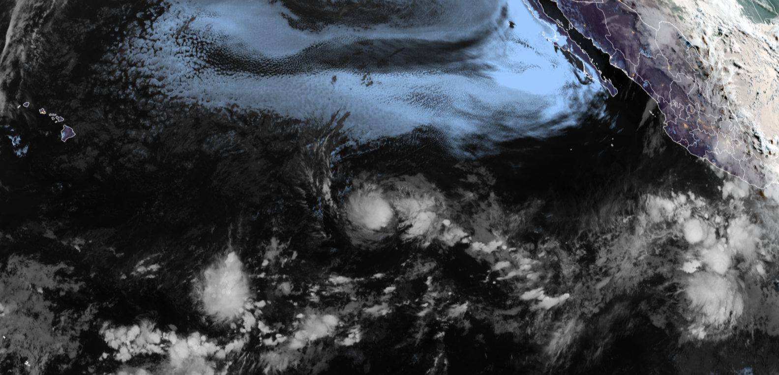
Severe storms have reignited in the northern Plains, bringing a risk for large hail and damaging winds through this weekend after a week of severe thunderstorms blasted the Central US.
Storms are setting up in North Dakota and Montana primarily on Saturday, but the threat shifts south and east heading into Sunday.
The FOX Forecast Center said storms could pack hail larger than 2 inches in diameter and damaging wind gusts up to 70 mph.
The SPC issued a Level 2 out of 5 severe thunderstorm risk on Saturday for western North Dakota and eastern Montana.
A level 1 threat extends into South Dakota and Wyoming as well.
On Sunday, daytime hours will be nice and breezy, but the late afternoon and evening hours are when the storms roll in and become more intense.
As a powerful upper-level system lifts out of the Rockies and pushes a cold front eastward, severe storms will rapidly ignite across western and central North Dakota.
A level 2 severe storm threat is in place for eastern Wyoming, western South Dakota, most of central North Dakota and the southeastern corner of Montana on Sunday.
Individual supercell thunderstorms capable of producing large hail will transition into fast-moving storms, the FOX Forecast Center said.
Along with the large hail threat, damaging winds are also possible through the overnight hours.
Storms will fizzle out on Monday before firing back up again over the same areas on Tuesday and Wednesday when all threats of severe weather will be possible.
Stay tuned to FOX Weather for the latest severe weather coverage.
What's Your Reaction?
 Like
0
Like
0
 Dislike
0
Dislike
0
 Love
0
Love
0
 Funny
0
Funny
0
 Angry
0
Angry
0
 Sad
0
Sad
0
 Wow
0
Wow
0