


.jpg)


Relentless downpours, damaging winds and dangerous surf to batter Gulf Coast through weekend

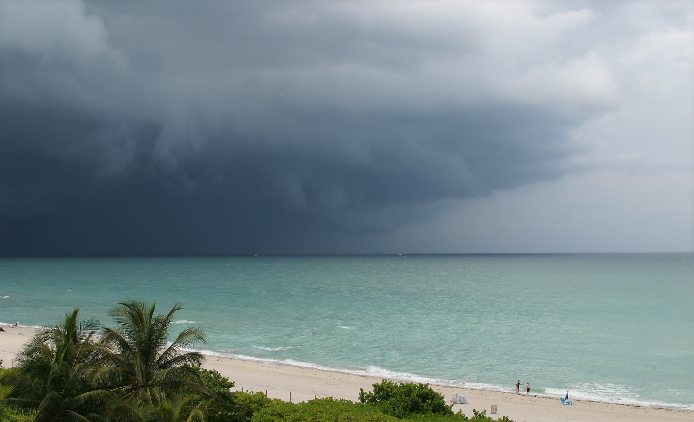
A developing storm system in the Gulf will bring torrential downpours to Louisiana and other parts of the Gulf Coast now through Sunday.
When there's an area of disturbed water in the Gulf of Mexico during hurricane season, it can cause panic. But it's important to note that there is no chance of this system becoming a tropical depression or storm, according to the FOX Forecast Center.
Although the waters in the Gulf are plenty warm, strong east-northeast wind shear is ensuring that developing thunderstorms have no chance to organize.
But there will still be impacts. The disturbance is a weak area of low pressure packed with deep tropical moisture.
HOW HIGH PRESSURE AND LOW PRESSURE DRIVE THE WEATHER
Increasing winds will direct the system northward toward the Gulf Coast, resulting in a mess of tropical downpours across Louisiana and southern Mississippi on Friday and Saturday.
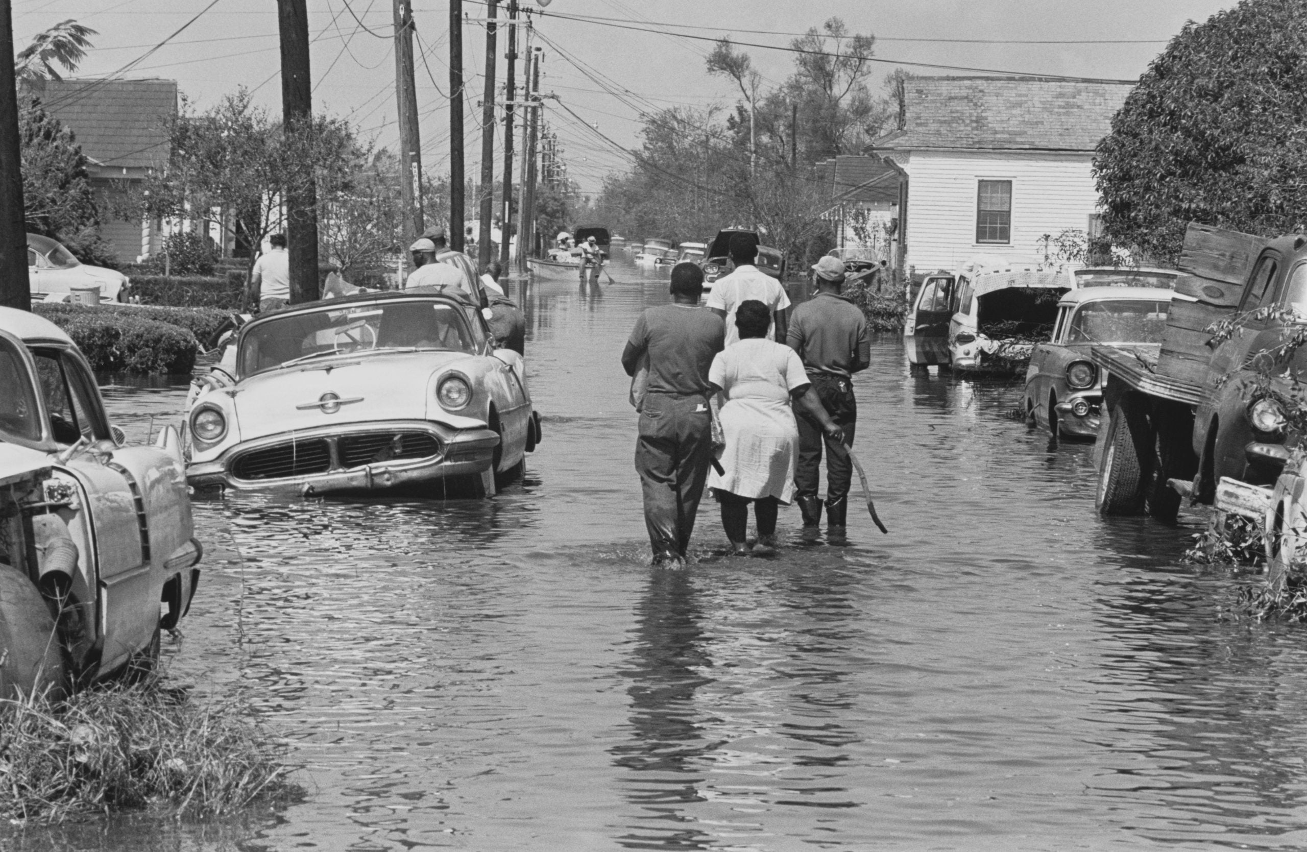
Because the storms will be scattered, the potential for widespread flooding is limited. However, any individual storm could produce torrential downpours.
EYE OF THE SEASON: THE MOST NOTABLE ATLANTIC HURRICANES DURING EL NIÑO YEARS
There is enough moisture in the atmosphere for these storms to produce heavy rain, which could lead to street flooding along the Gulf Coast beginning Thursday.
Rainfall totals over 2 inches per hour are likely, and any single location could quickly pick up an inch of rain.
TROPICAL STORM AMANDA FORMS IN THE EASTERN PACIFIC WITH EL NIÑO POISED TO SUPERCHARGE THE BASIN
If multiple storms track over the same area, more than 3 inches of rain and flooding will be possible.
Cities such as New Orleans, Biloxi and Gulfport will be among those with the highest chance of seeing the most rain.
ATLANTIC HURRICANE SEASON IS OFFICIALLY UNDERWAY: WHAT TO KNOW ABOUT THE 2026 FORECAST
Even though tropical development is not expected, this system will likely produce coastal flooding, rough surf and rip currents along the Louisiana and Mississippi coasts.
Winds will also increase across the Gulf Coast on Thursday as the region becomes sandwiched between the weak low in the Gulf and a strong area of high pressure over the Southeast.
East-southeast winds with gusts up to 40 mph will pile up water at the coast, leading to dangerous surf, strong rip currents and minor flooding during high tide.
RIP CURRENTS: WHAT ARE THEY, HOW TO SPOT THEM AND HOW TO SAVE YOURSELF FROM ONE
Much of the Southeast has seen several rounds of soaking storms over the last two weeks and could be vulnerable to additional flash flooding.
Coastal Flood Advisories have been issued from southeast Louisiana to the Mississippi coast for the threat of 1 to 2 feet of total water rise, which will cause flooding in low-lying parks and parking lots.
By Sunday, the moisture will have moved inland, where it will meet up with an upper-level disturbance tracking out of the Four Corners region.
The two systems will combine to trigger numerous thunderstorms across the Heartland on Sunday afternoon.
What's Your Reaction?
 Like
0
Like
0
 Dislike
0
Dislike
0
 Love
0
Love
0
 Funny
0
Funny
0
 Angry
0
Angry
0
 Sad
0
Sad
0
 Wow
0
Wow
0