


Triple threat: Massive cold front to unleash snow, severe storms and heavy rain across 25+ states
The majority of the country will be impacted by a massive cold front draped over a corridor from Maine to Texas that will unleash severe storms across the South, flooding rain in the Midwest and Northeast, and an impactful snowstorm across the central Rocky Mountains.
Severe weather is expected to fire up over the Ark-La-Tex region beginning Tuesday, while rain continues to spread across the Midwest and Great Lakes before reaching the Northeast Wednesday. Meanwhile, cold air wrapping behind the front will create prime conditions for a late-season snowstorm over the Northern Plains and the Rockies beginning Tuesday night.
The sprawling system also has the potential to cause significant air travel delays in the eastern and Central US, as well as Denver, as the front drags across the nation through the week. Delays were already beginning to mount early Tuesday.
Behind the cold front, millions will see temperatures plunge 20 to 30 degrees below average, with conditions more like early March than early May.
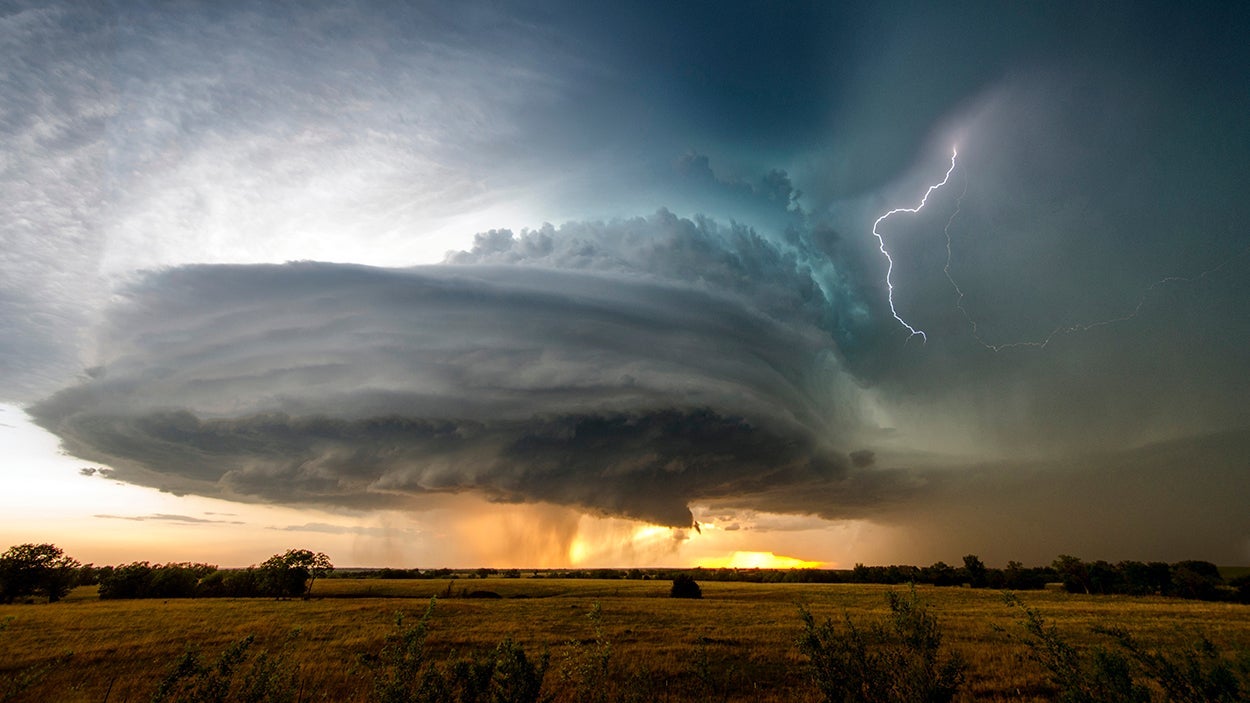
The front will move over a 1,500-mile stretch from Maine to Texas by Tuesday afternoon and begin to stall. This will lead to several days of severe storms and potentially flash flooding on the southern end of the front as it clashes with warm air from the Gulf.
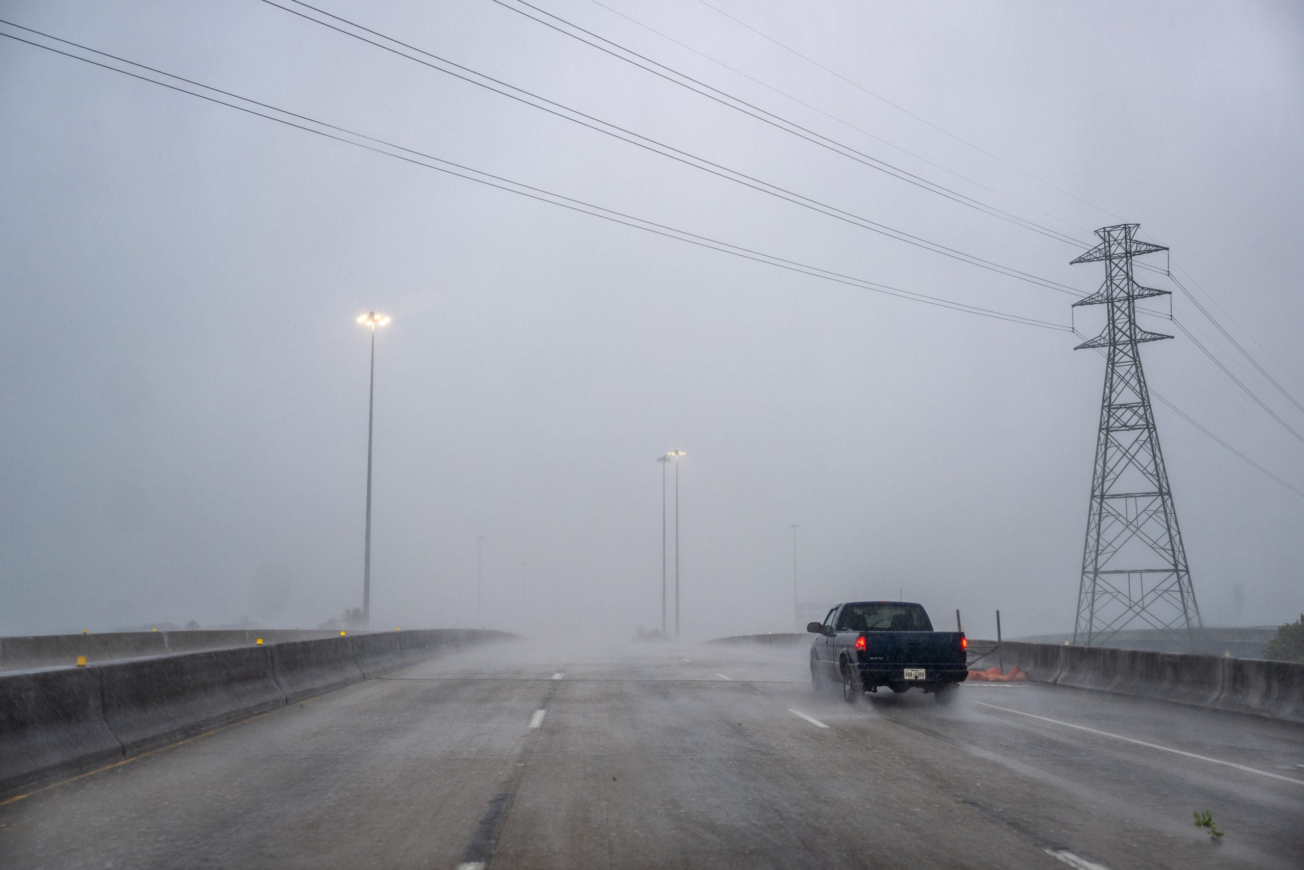
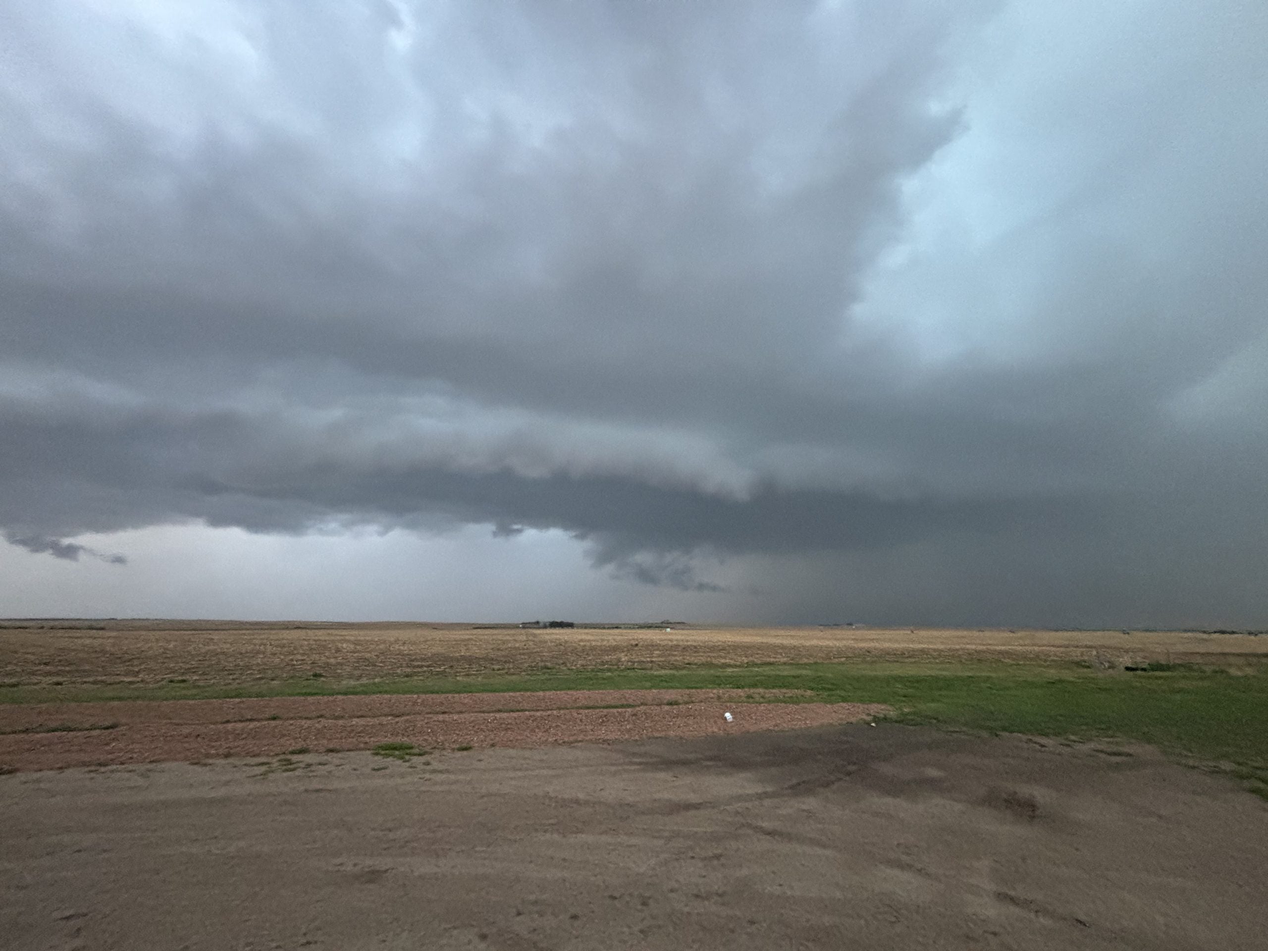
NOAA's Storm Prediction Center (SPC) has issued a Level 2 out 5 risk of severe storms across parts of North Texas, including Dallas, as well as eastern Oklahoma, much of Arkansas, southern Missouri, and Memphis, Tennessee. Damaging winds and large hail are the primary threats, although a tornado cannot be ruled out.
Temperatures will also crash Tuesday night across the southern Plains and parts of the Mississippi Valley, where some areas could go from the high 80s and 90s late in the day to the 40s Wednesday morning.
The severe weather threat shifts south and expands across Southeast Texas, Louisiana, Mississippi, and Alabama on Wednesday.
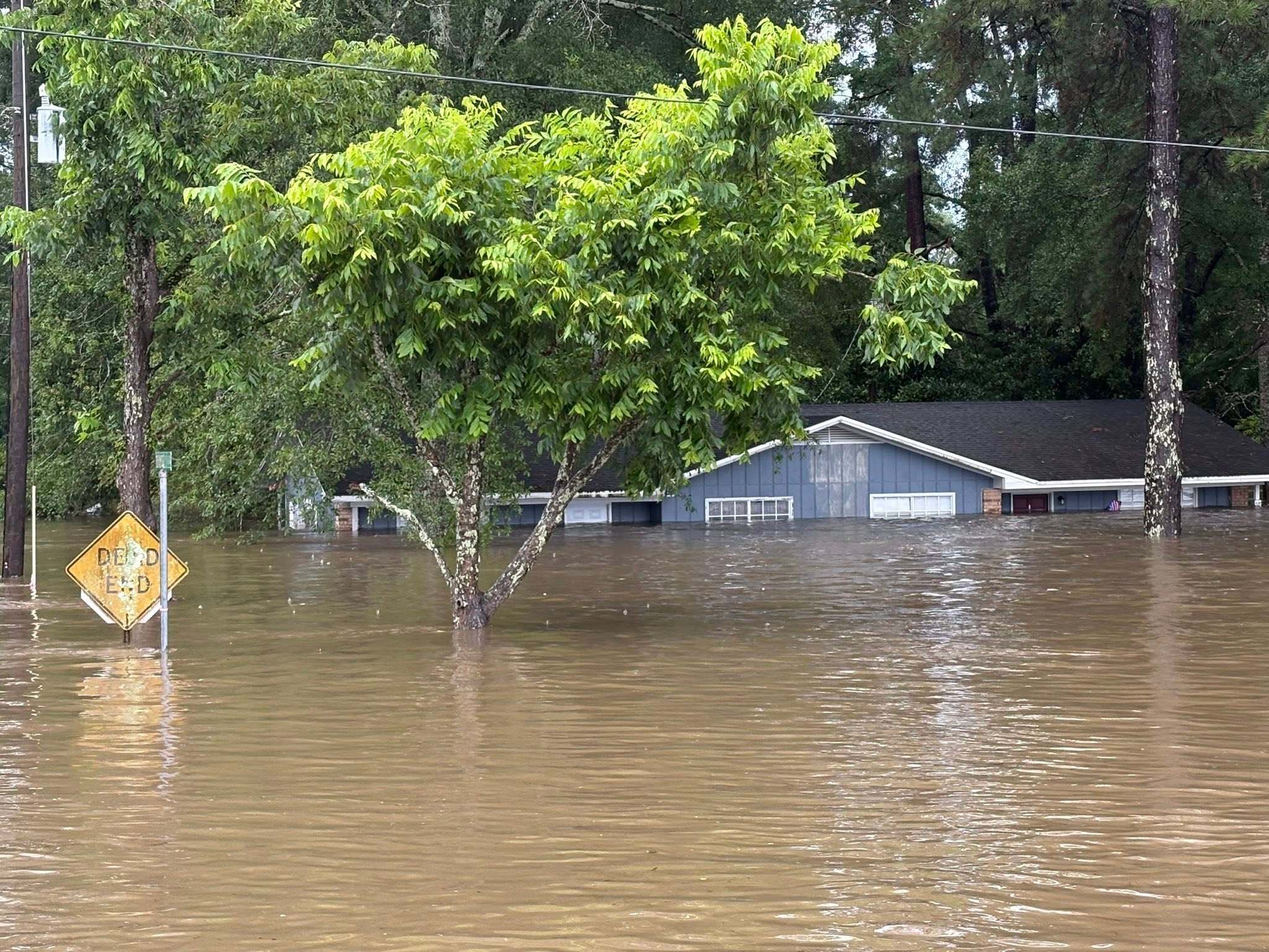
According to the FOX Forecast Center, this will likely be the most impactful day of the week, though it does not currently look like a major outbreak. Severe storms will also bring days of heavy rain, as the reaches the Southeast by Thursday.
A widespread 2 to 3 inches of rain could fall across Mississippi, Alabama, Georgia and Tennessee through Friday.
This rain will actually be beneficial for much of the region, particularly southern Georgia, which is experiencing extreme drought.
Severe weather will also fire along the northern part of the front along Lake Ontario on Tuesday.
A Level 1 severe storm threat covers parts of Upstate New York, as well as northern Vermont, northern New Hampshire and western Maine.
According to the Forecast Center, hail and damaging winds and a tornado or two will all be possible through Tuesday afternoon.
Meanwhile, heavy rain will expand into the Tennessee Valley and Ohio Valleys through Tuesday morning, with a second round of rain Tuesday night.
A Level 1 out of 4 flash flood threat is in place for Indianapolis, Louisville and Cleveland.
Downpours will reach the entire northeastern portion of the Interstate 95 corrdior by Wednesday, with a half-inch to and inch of rain possible for the New Yorck City metro area.
The rain is also beneficial for much of the Northeast coast, where drought conditions are also increasing.
Meanwhile, snow will start to intensify in Wyoming and Colorado late Tuesday and could be significant at the higher elevations. Places north of Denver have already begun to see light flakes.
Denver can expect to see 5 to 8 inches of snow through Wednesday, with the wind direction helping shield the city from higher snow totals.
The greatest accumulations will be in the mountains of Wyoming and Colorado, where some of the highest peaks and passes could see between 1 and 2 feet of heavy, wet snow.
Colorado will see widespread totals of 8 to 12 inches across the northern and central mountains, including popular areas like Breckenridge and Rocky Mountain National Park.
The heavy snow will create difficult driving conditions and Winter Storm Watches and Warnings have been posted for the Interstate 25 corridor from Denver to Cheyenne, Wyoming.
Combined with wind gusts up to 45 mph, this could lead to periods of whiteout conditions and difficult travel over mountain passes.
Snow starts to wane later in the day on Wednesday for the Rockies, before the system completely pulls away early Thrusday.
What's Your Reaction?
 Like
0
Like
0
 Dislike
0
Dislike
0
 Love
0
Love
0
 Funny
0
Funny
0
 Angry
0
Angry
0
 Sad
0
Sad
0
 Wow
0
Wow
0