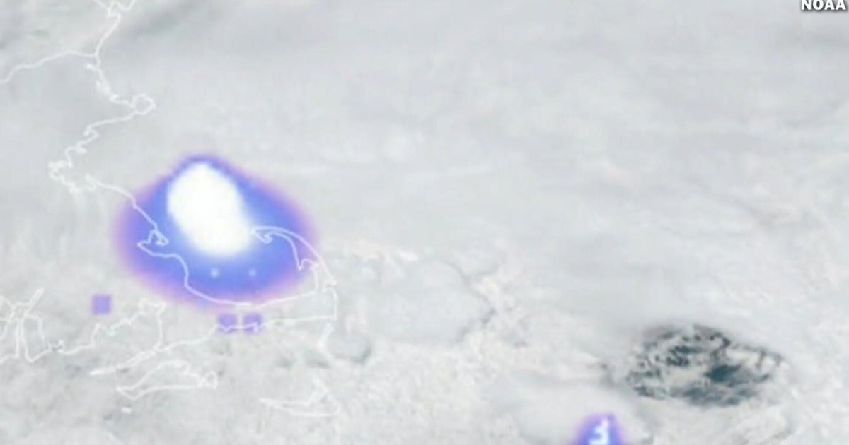


%20052026%20SOURCE%20Tello.jpg)


Tornadoes reported across South as dangerous Sunday severe weather threat eyes Gulf Coast

A severe weather threat is looming over the Southeast Sunday, as soaking rains, hail and an increased tornado threat are possible.
While the threat of severe storms was maximized on Saturday as an area of low pressure delivered heavy, soaking rains to millions from the Plains to the East Coast, the line of storms will continue on Sunday morning across eastern Mississippi into southeast Louisiana, including New Orleans, bringing a threat of a few 40-60 mph gusts.
The line will continue to push east and may strengthen across the northern Gulf Coast, before it reaches the Florida peninsula by Sunday evening, with 60 mph gusts and small hail possible with this activity.
HOW PUBLIC SAFETY OFFICIALS NOTIFY YOU DURING SEVERE WEATHER EMERGENCIES
The FOX Forecast Center said that as of 5 a.m. Sunday, there have been 3 tornado reports in Louisiana: Slagle, Pine Prairie and Port Barre.
And in Port Barre, there was a report of a caved roof and part of another roof removed from a home.
Strong wind gusts were reported this morning, as well.
As of 5 a.m. Sunday, the top thunderstorm wind gust reports were in Lake Charles, Louisiana, at 72 mph, and in Lumberton and Texas City, Texas, with reported wind gusts of 70 mph and 69 mph, respectively.
This line of severe storms will be the same that rolled across the western Gulf coast states, moving into the Panhandle of Florida and southern Alabama/Georgia by late on Sunday morning.
The initial line of storms will bring gusty winds along with a tornado threat.
This line is expected to weaken by midday, then start to re-intensify over parts of northern Florida and southern Georgia, due to a deep layer of shear developing along with more available moisture.
The FOX Forecast Center said that the possibility does exist for a couple of strong tornadoes in this area on Sunday afternoon into the evening.
On Saturday, Texas, Louisiana and Mississippi were in the bullseye for severe weather impacts.
During the day, thunderstorms began to develop, with the chances of hail 1+ inch in diameter.
As the evening moved in, an increasing threat of damaging winds and a couple of tornadoes stretched from east Texas into Louisiana and southwest Mississippi.
According to the FOX Forecast Center, a level 2/5 severe weather threat was in effect, with Houston, New Orleans, Baton Rouge and Shreveport, Louisiana in the threat area.
Texas Governor Greg Abbott activated a state of emergency for the severe storms brewing.
"The State of Texas is prepared to respond to severe storms anticipated this weekend," said Gov. Abbott. "I directed the Texas Division of Emergency Management to activate all necessary resources to assist Texas communities ahead of potential severe weather. Texans are urged to surveil road conditions before traveling, remain weather-aware, and have a plan in place in case of emergency."
Accompanying the severe storms was the possibility of flash flooding, as a level 2 flash flood threat extended from eastern Texas up through Arkansas and parts of Oklahoma on Saturday.
HOW TO PROTECT YOUR VEHICLE FROM A HAILSTORM
Storms continued overnight Saturday into Sunday morning, where the severe threat extends into Alabama, Georgia and Florida.
FLOOD WATCH, WARNING AND EMERGENCY: HERE ARE THE DIFFERENCES THAT COULD SAVE YOUR LIFE
On Sunday, the flash flood risk moves further into the Southeast, impacting Alabama, Georgia, northern Florida and the Carolinas.
A level 1 of 4 flood threat persists for these areas, but significant flooding will remain localized due to the ongoing drought, the FOX Forecast Center said.
What's Your Reaction?
 Like
0
Like
0
 Dislike
0
Dislike
0
 Love
0
Love
0
 Funny
0
Funny
0
 Angry
0
Angry
0
 Sad
0
Sad
0
 Wow
0
Wow
0