


%20052026%20SOURCE%20Tello.jpg)


States of Emergency triggered as major winter storm slammed the Northeast, unleashing travel nightmare
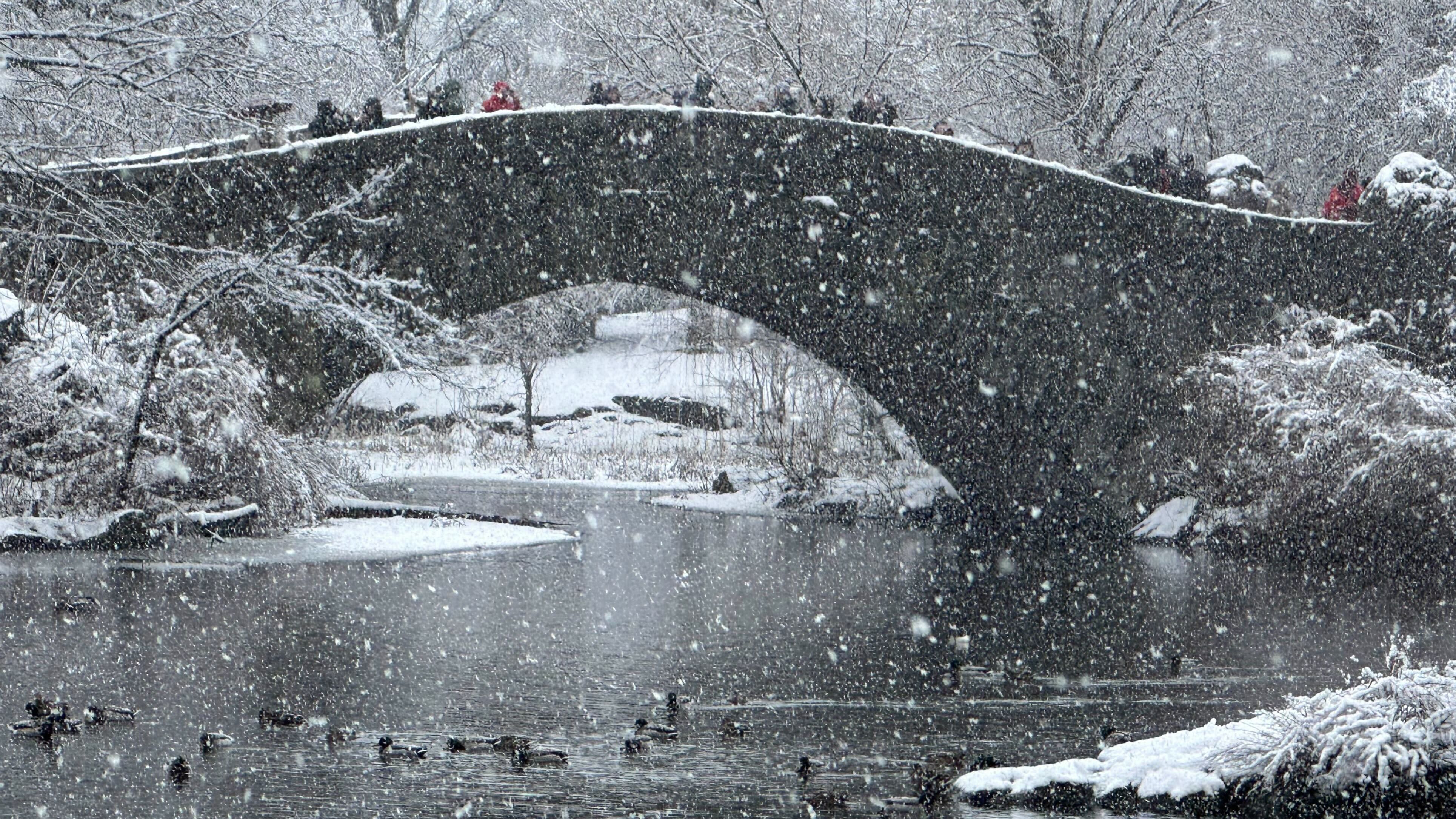
A strong winter storm barreled into the Northeast on Friday night, dumping snow and crippling travel plans across major airport hubs and interstates along the I-95 corridor.
State of emergency announcements are in place for New Jersey and some areas of New York as over 50 million Americans are impacted by the storm.
From New York City to Philadelphia, winter weather alerts are still scattered across the region, as the powerful storm has unleashed dangerous conditions for one of the busiest holiday travel weekends of the year after Christmas and before the new year.
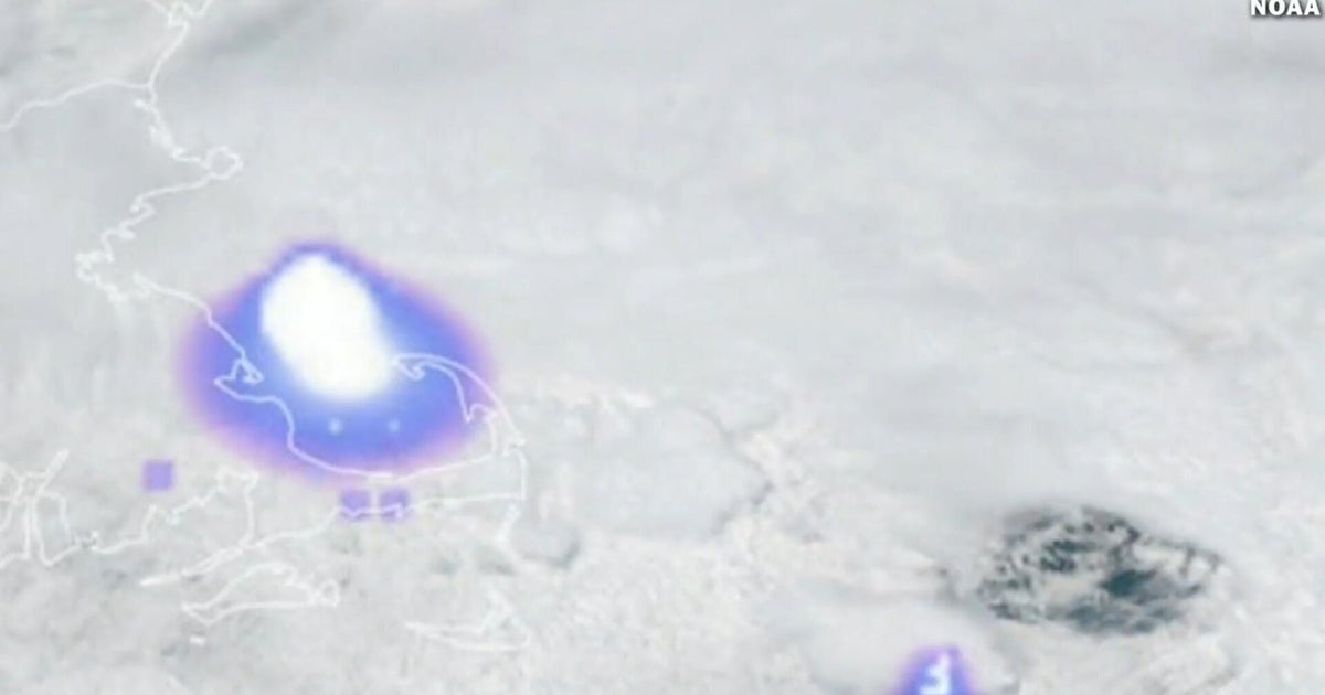
According to the FOX Forecast Center, Hartwick, New York saw some of the highest snow totals across the Northeast at 11.5" by Saturday morning. Other cities east of the Finger Lakes and the Catskills in New York saw 8" to almost a foot of snow.
While the forecast for New York City originally called for up to 8" of snow in the Big Apple, as of 7:00 AM, New York City saw 4.3" of snow in Central Park.
Connecticut saw more snow than New York City as the storm track shifted, with cities south of Hartford getting 5-9" of snow.
Officials in New Jersey, New York, Connecticut and Pennsylvania have issued releases urging travelers and residents to exercise caution from the storm.
Winter weather alerts cover the Tri-State Area through most of Pennsylvania continuing into Saturday.
NEXT STORM BREWING FOR MIDWEST, NORTHEAST DAYS AFTER MAJOR WINTER STORM
Travel headaches are unfortunately expected to continue on Saturday, as major airports in the region under winter weather advisories saw significant cancellations and delays on Friday.
According to FlightAware, across the region and in New York City, Newark and Philadelphia, over 7,000 flights have been delayed and over 1,000 have been canceled, as snow falls and active weather continues in the region's major travel hubs.
Ahead of the major winter storm, New Jersey Acting Lt. Gov. Tahesha Way declared a state of emergency across all 21 counties in New Jersey.
"Starting [Friday] afternoon, we will experience a severe winter storm bringing dangerous outdoor conditions to our state," said Acting Governor Way. "This storm will cause dangerous road conditions and impact holiday travel. We are urging travelers to avoid travel during the storm and allow crews to tend to the roads. Drivers should plan their travel accordingly, monitor conditions and road closures, and follow all safety protocols."
New York Governor Kathy Hochul has declared a state of emergency for areas and counties pointed to be impacted by the storm system and New York City Emergency Management NYCEM has issued a travel advisory through Saturday.
6 BASIC STEPS FOR MEASURING SNOW PROPERLY
For the first time in over three years, New York City saw a Winter Storm Warning, though snow totals were around 4" as of Saturday morning.
"As New Yorkers continue to celebrate the holidays and prepare to celebrate the new year, they should also prepare for hazardous travel conditions Friday into Saturday," New York City Mayor Eric Adams said in a press release. "New York City agencies have been coordinating and are prepared for the winter weather system, and we continue to monitor conditions closely.
Much of Pennsylvania is under Winter Weather Alerts, facing the multi-threat storm that has triggered an Ice Storm Warning in western Pennsylvania.
Icing was particularly dangerous for larger accretion, with widespread areas of western Pennsylvania receiving 0.1-0.25" worth of ice, according to the FOX Forecast Center.
In eastern Pennsylvania, areas near Scranton and the suburbs of greater Philadelphia received over 0.5" of dangerous ice.
Hundreds of PennDOT crews were at the ready to deal with the multi-threat storm delivering active winter weather, Pennsylvania Department of Transportation (PennDOT) Deputy Communications Director Brad Rudolph said.
WHAT'S THE DIFFERENCE BETWEEN AIRPORT GROUND STOPS AND GROUND DELAYS?
In Connecticut, the Connecticut Department of Transportation’s (CTDOT) fleet of 650 snowplows and specialized snow removal equipment will remain active until the roads are clear of snow and ice, Gov. Lamont said.
After the powerful winter storm delivers snow and ice Friday into early Saturday morning, another fast-moving system will bring a mixture of rain and snow later Sunday into Monday. Behind this system, a blast of Arctic air will leave most of the East Coast below average into the start of the New Year.
What's Your Reaction?
 Like
0
Like
0
 Dislike
0
Dislike
0
 Love
0
Love
0
 Funny
0
Funny
0
 Angry
0
Angry
0
 Sad
0
Sad
0
 Wow
0
Wow
0