


Severe storms to reload, target 130M from Texas to New England after Midwest blasted by tornadoes, hail

Over 130 million people across more than 12 states are bracing for another round of severe weather beginning Wednesday afternoon. This follows Tuesday's storms that produced tornadoes across southern Wisconsin and damaging wind gusts from Texas to New England.
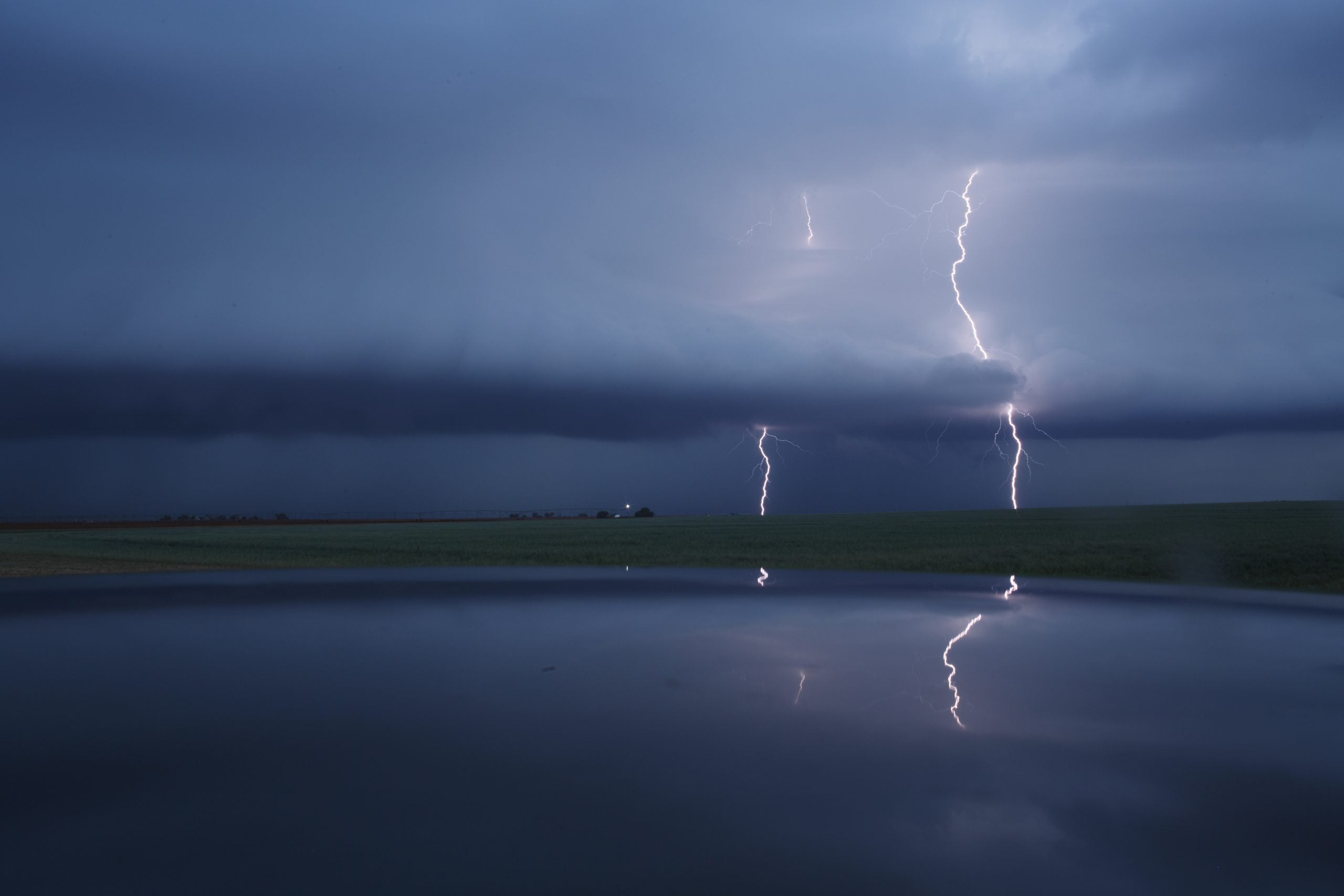
Wednesday's threat has shifted slightly east, but a broad Level 2 out of 5 risk of severe thunderstorms covers a corridor including parts of North Texas, the Southern Plains, the Midwest and the Ohio Valley, according to NOAA's Storm Prediction Center (SPC).
A Level 1 threat covers a wider area including the Dallas metro area and Texas Hill Country. To the north, the risk extends across parts of the Mid-Atlantic and Northeast, including northern New Jersey and New York City.
A spring severe weather pattern has taken hold across much of the country, with Wednesday's atmospheric setup resembling Tuesday's conditions.
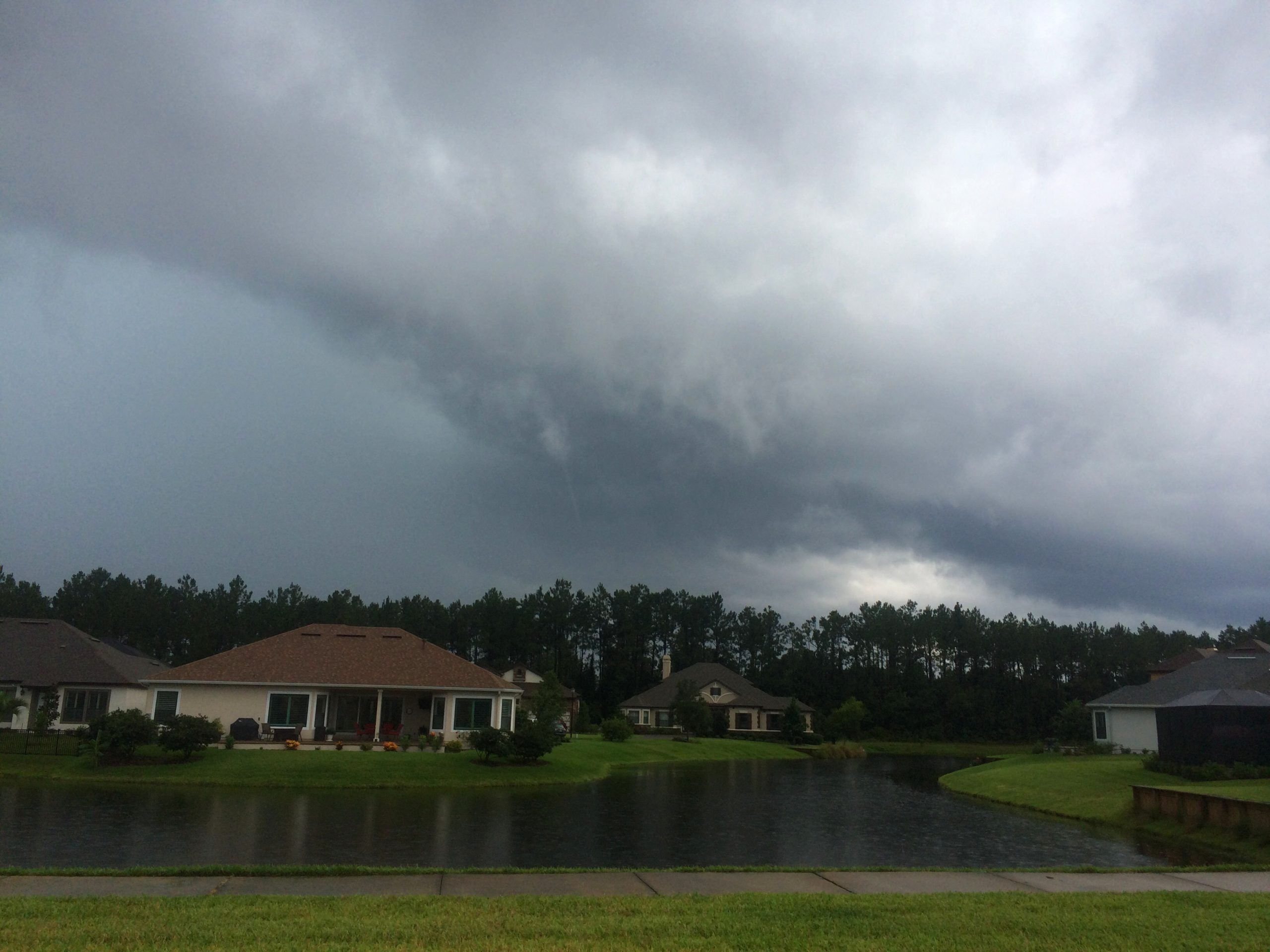
DANGEROUS TORNADOES AND HAIL SLAM THE MIDWEST, PLAINS
Rounds of storms will once again develop over Iowa beginning Wednesday afternoon and charge east along a stalled front draped over southern Wisconsin and Michigan, where more than 70,000 customers were still without power early Wednesday after damage from Tuesday's storms.
Supercell thunderstorms could begin to form across Missouri, Iowa, and western Illinois, with large hail being the main hazard. Flash flooding is once again possible across the region as storms repeatedly move over the same areas.
FLOOD THREAT INCREASES ACROSS GREAT LAKES AMID HEAVY RAINFALL, RAPID SNOWMELT
Meanwhile, another dryline — the boundary between dry air from the west and warm, moist air from the Gulf — will set up across eastern Kansas, Oklahoma, and West Texas through the day.
Supercells and bowing squall lines capable of producing very large hail, tornadoes and damaging winds could form along or just east of this boundary.
Record warmth in the Ohio Valley and the Mid-Atlantic will fuel scattered afternoon thunderstorms that could pack hail and damaging wind gusts. More storms are forecast to develop through the day and track east through the evening, weakening as they reach the coast.
What's Your Reaction?
 Like
0
Like
0
 Dislike
0
Dislike
0
 Love
0
Love
0
 Funny
0
Funny
0
 Angry
0
Angry
0
 Sad
0
Sad
0
 Wow
0
Wow
0