

















June weather outlook: Lull in severe weather continues as tornado activity goes quiet during peak season

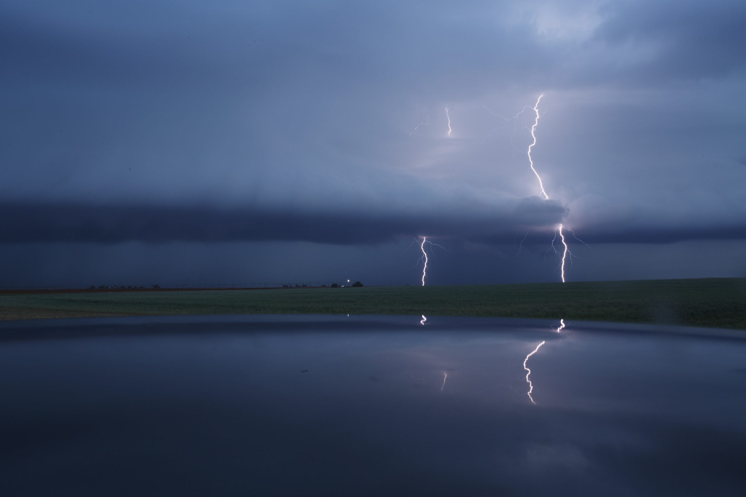
After a pretty quiet month of severe weather, June will continue on that pattern for the foreseeable future across the United States.
Following a highly active April, tornado activity across the U.S. drastically fell off during what is typically the peak of severe weather season.
The Great Plains' Tornado Alley remains remarkably quiet, with large-scale atmospheric patterns completely suppressing significant storm development in the coming weeks.
WHERE IS TORNADO ALLEY? EVERYTHING TO KNOW ABOUT THE AMERICAN TWISTER HOTBED
The upcoming weather pattern suggests the quiet will continue.
Severe to moderate drought across the High Plains and Four Corners region has left the lower atmosphere severely depleted of moisture.
This hot, dry air mass frequently slides eastward, acting as a thermal cap — or lid — that chokes out thunderstorm growth before it can begin.
A building Omega block pattern — stagnant high pressure over southern Canada flanked by two low pressure systems — will trap hot, sinking air over the central U.S.
This setup will continue getting in the way of widespread severe thunderstorm and tornado formation until at least the second week of June.
By the middle of June, the pattern may start to change as a powerful jet stream develops and blasts across nearly the entire Pacific. This blast of wind may ripple down, causing a wavy, or amplified pattern that would increase the number of severe storms in the central U.S.
The extreme drop-off in May is worth mentioning given that it typically marks the statistical peak of tornado season. Typically, the Southern Plains are dealing with widespread, high-consequence severe setups at this point of the year.
There have been 152 preliminary tornado reports in May, but the average May produces 250 to 300 tornadoes. This is the seventh least active May since 1990, according to the FOX Forecast Center.
HOW HIGH PRESSURE AND LOW PRESSURE DRIVE THE WEATHER
After an intense, multi-day tornado outbreak in April, May's tornadoes have been overwhelmingly weak, short-lived and disorganized.
Only two storms all month have managed to reach EF-3 strength or greater, headlined by a long-track EF-3 on May 6 that carved an 82-mile scar across Mississippi.
Beyond that single-lived system, the high-energy dynamics needed to produce violent, rotating supercells have been entirely absent from Tornado Alley.
Oklahoma was on track to finish the month without any reported tornadoes for the first time in decades, but the National Weather Service in Tulsa confirmed at least two tornadoes that occurred in southeast Oklahoma this past Wednesday.
Meanwhile, Georgia has recorded only one tornado in all of April and May, which is their lowest tornado count during peak season since 2012.
Illinois saw a major weather pattern change, as well. Despite there being 70 tornado reports in April and only one in May, the state remains in the lead nationally with 152 reported tornadoes.
So why the lull?
Over the course of the month, low pressure consistently hung out over the eastern U.S. This setup produced dry northwesterly flow over the Plains, repeatedly pushing crucial Gulf moisture too far south to fuel explosive storms.
Stay with FOX Weather for the latest on what's to come in June.
What's Your Reaction?
 Like
0
Like
0
 Dislike
0
Dislike
0
 Love
0
Love
0
 Funny
0
Funny
0
 Angry
0
Angry
0
 Sad
0
Sad
0
 Wow
0
Wow
0