


.png)
Severe storms shift north amid border-to-border flood threat targeting Central US

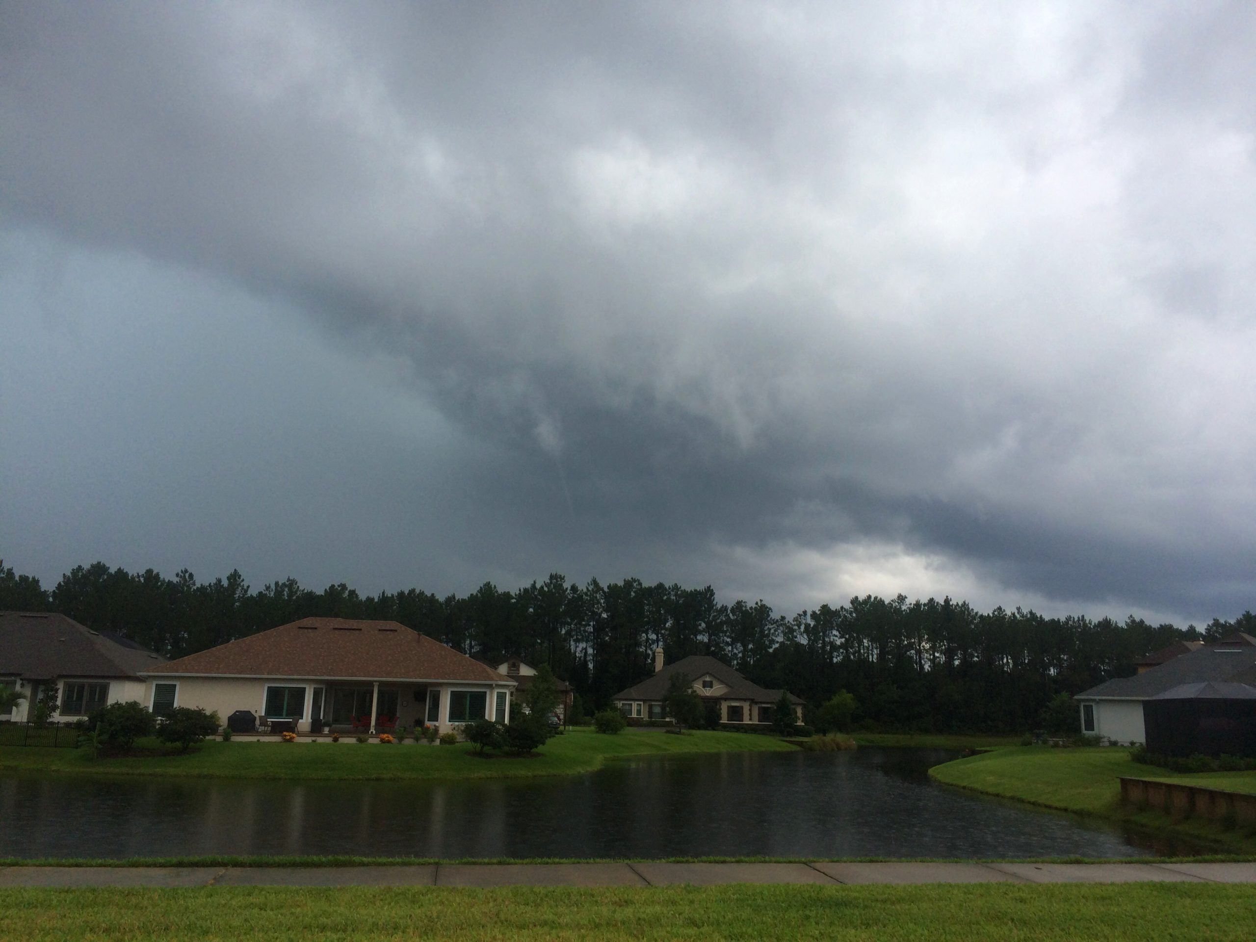
Baseball-sized hail and tornadoes are possible across parts of North and South Dakota, which are in the bull's-eye of a sprawling severe weather threat Tuesday that stretches from the Dakotas to the Texas Panhandle and eastern New Mexico. This threat is part of a broader weather pattern that produced a powerful hailstorm over Denver on Monday afternoon and will bring a stretch of severe storms and potential flash flooding across the Plains through the week.
A severe thunderstorm developed immediately over Denver just after 1 p.m. Monday and unleashed a massive hailstorm across the metro area.
The intense weather triggered a Ground Stop at Denver International Airport, delaying hundreds of flights into and out of the regional hub.
Golf ball-sized hail fell in downtown Denver, and cars were seen stopping under overpasses on Interstate 70, creating a travel hazard.
Severe thunderstorms are expected to redevelop by mid-afternoon Tuesday across the entire Great Plains.
A Level 2 out of 5 risk of severe thunderstorms covers parts of eastern Wyoming, northwestern Nebraska, as well as North and South Dakota, including Bismarck and Rapid City, according to NOAA's Storm Prediction Center.
The main hazards in this area are baseball-sized hail and damaging wind gusts. A few tornadoes are possible with any supercell thunderstorms that are able to develop. Parts of North Dakota are also under a Level 2 out of 4 flash flood threat.
WHAT IS A SUPERCELL THUNDERSTORM?
A lower chance of severe storms covers a broader area that includes eastern Colorado, western Kansas, eastern New Mexico and the Oklahoma and Texas Panhandles.
Repeated rounds of storms could also bring heavy rainfall to eastern New Mexico and the Texas Panhandle, which are also under a Level 2 flood threat.
TROPICS WATCH: SEASON’S FIRST DISTURBANCE IN EASTERN PACIFIC GIVEN HIGH CHANCE OF DEVELOPMENT
Despite the potential for flooding, heavy rain will help ease Extreme Drought conditions in the Texas and Oklahoma Panhandles, as well as other parts of the Southern and Central Plains.
This is part of a week-long pattern where a dip in the jet stream will trigger storms fueled by 90-degree temperatures and Gulf moisture.
Gulf moisture will help produce heavy downpours, leading to flash flood threats where slow-moving thunderstorms develop.
The flood threat will expand into the Upper Midwest beginning Wednesday.
Stay with FOX Weather for the latest on the storms.
What's Your Reaction?
 Like
0
Like
0
 Dislike
0
Dislike
0
 Love
0
Love
0
 Funny
0
Funny
0
 Angry
0
Angry
0
 Sad
0
Sad
0
 Wow
0
Wow
0