














Saharan dust plume to blanket Florida, Gulf Coast with hazy skies into the weekend

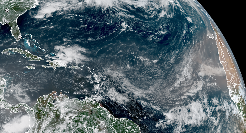
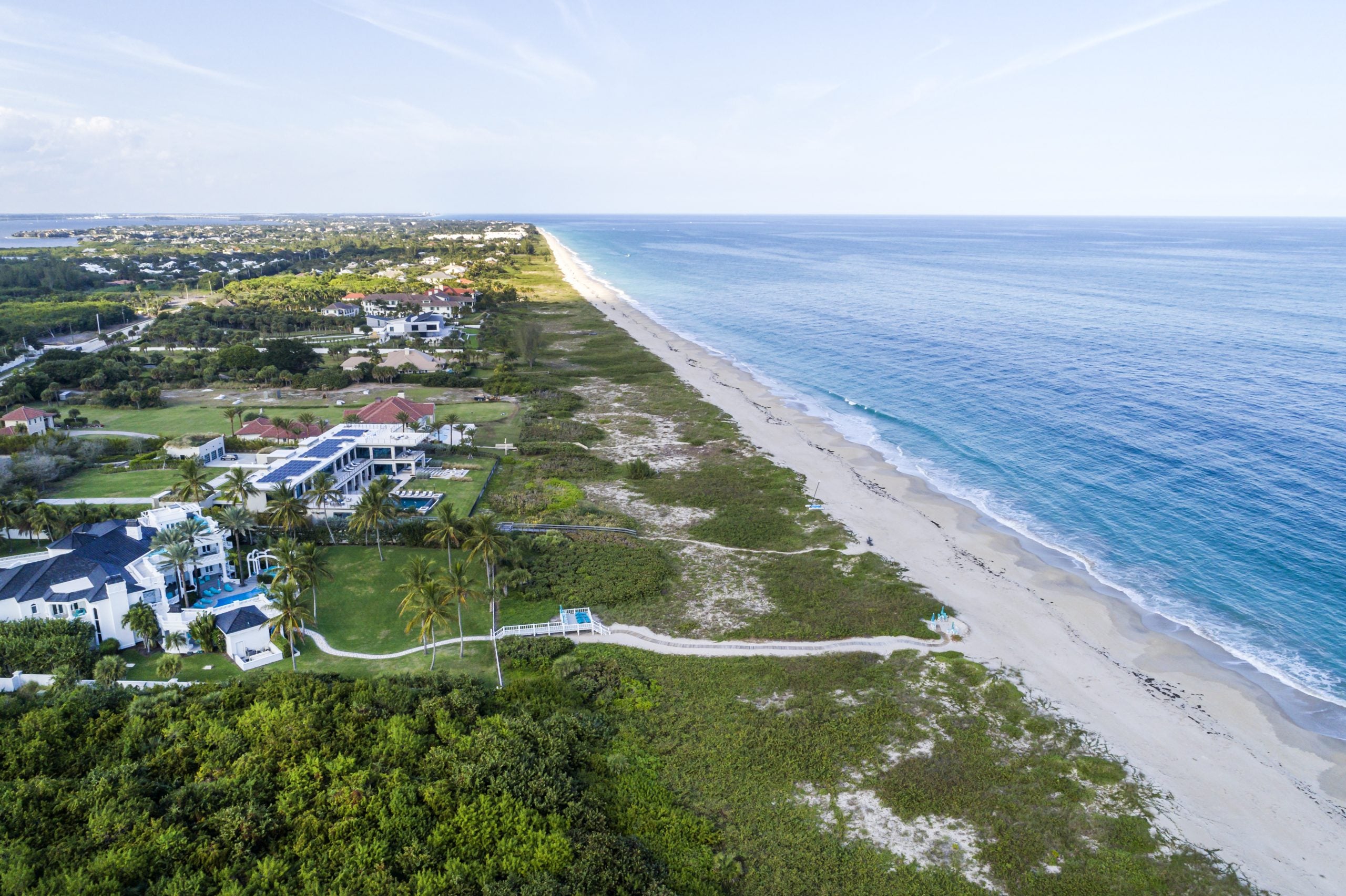
The Sunshine State may not have such clear skies this weekend as a plume of Saharan Dust travels more than 5,000 miles through the Caribbean and Atlantic to deliver hazy, dusty skies across the Gulf Coast.
The Saharan Air Layer is a mass of very dry, dusty air that forms over the African desert and is lofted high into the atmosphere by strong winds. While its dry air typically suppresses tropical storm development, it also heavily impacts Florida and portions of the Gulf Coast states, the FOX Forecast Center said.
5 THINGS TO KNOW ABOUT THE SAHARAN DUST PLUME
The dust arrives just in time for the weekend, where it will concentrate over Florida by Saturday.
The FOX Forecast Center said dust will be noticeable in the air.
SAHARAN DUST SETTLES OVER HURRICANE BREEDING GROUNDS. HERE'S WHAT IT MEANS FOR HURRICANE SEASON
Video from Dania Beach, Florida on Wednesday morning shows a slightly hazy sunrise as the dust creeps closer to the Southeast.
By Sunday, the highest dust concentration will expand across the entire Gulf of America, bringing dust to portions of South Texas on Monday.
The dust is forecast to remain around the Gulf Coast and Florida through most of next week.
Beyond the vibrant sunsets and milky skies, the dust could act as a thermal blanket, allowing temperatures to soar, the FOX Forecast Center said.
The U.S. Virgin Islands in the Caribbean will also be affected by the dust, with the Department of Health warning residents of the extreme temperatures and the dust.
The FOX Forecast Center warned that thick dust may also impact air quality, potentially affecting those sensitive to air quality changes.
FOX Weather will continue to bring you the latest forecasts and information as the dust gets closer.
What's Your Reaction?
 Like
0
Like
0
 Dislike
0
Dislike
0
 Love
0
Love
0
 Funny
0
Funny
0
 Angry
0
Angry
0
 Sad
0
Sad
0
 Wow
0
Wow
0