


%20052026%20SOURCE%20Tello.jpg)


Rare 'high risk' of dangerous flooding in Los Angeles area causes concern for Christmas Eve

LOS ANGELES, Calif. — The Los Angeles area is forecast to see excessive rainfall with a high risk of flooding into Christmas Eve.
With a rare level 4 out of 4 risk, some areas just north of Los Angeles, into Santa Clarita and Glendale, could receive a month’s worth of rain in just days.
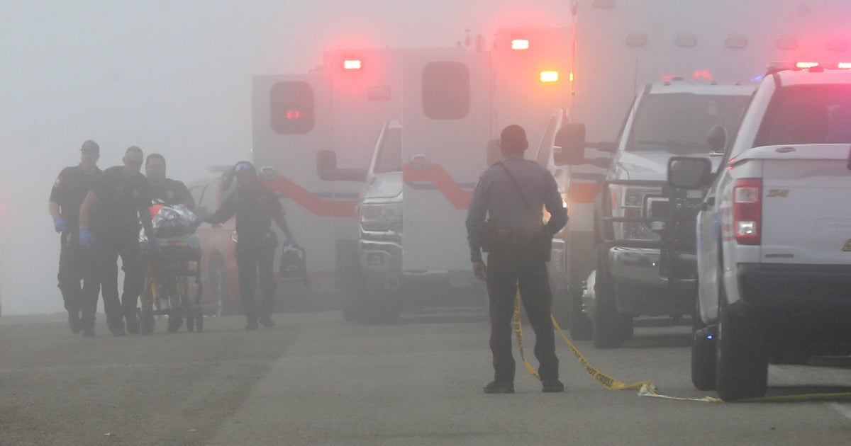
Heavy rain started moving into Northern California on Sunday as the next atmospheric river takes place. At least one person has died, with some areas already seeing nearly a foot of rain.
According to the FOX Forecast Center, this storm system is expected to intensify as it comes onshore, producing wind gusts up to 80 mph along the coast.
When a high risk – the highest risk level that can be issued – is in place, it means severe, widespread flash floods are expected in the highlighted areas.
High risks are only issued on about 4% of days (including tropical and non-tropical events), but this risk category accounts for 39% of flood-related fatalities and 83% of flood-related damages in the continental U.S., according to research by Weather Prediction Center meteorologists.
Research shows that 6% of high-risk flood days have at least one fatality or injury, and 62% of such days have at least $1 million in damages.
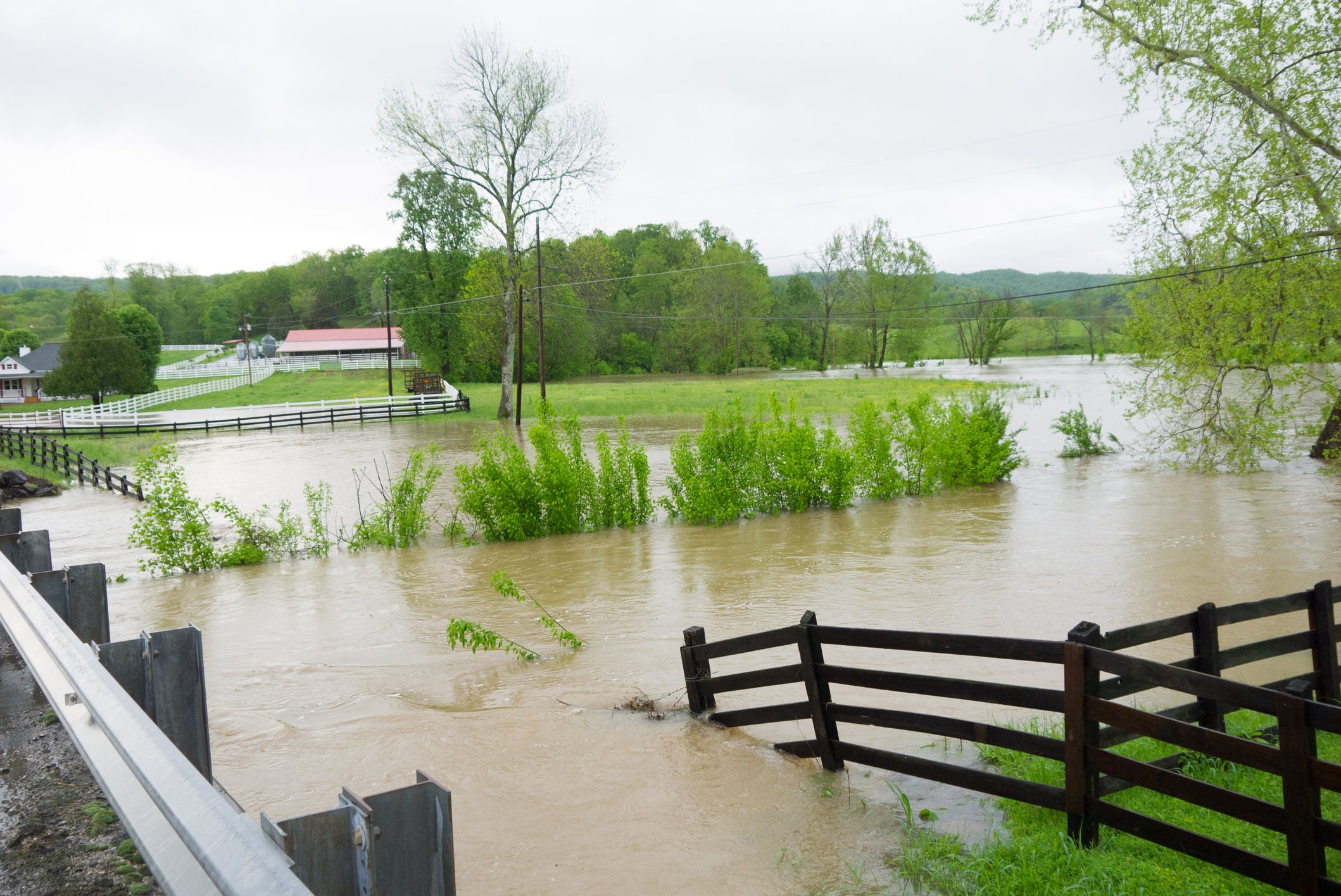
Your commute to work or school, the subway system, a parking lot, the street on which you live or even your home are all areas that could become inundated by floodwaters on a high-risk flood day. This can include areas that have never flooded in the past.
Officials say turn around, don't drown. Almost half of all flash flood deaths happen in vehicles, according to the Federal Emergency Management Agency, or FEMA.
7 FACTS YOU SHOULD KNOW ABOUT FLASH FLOODS
The impending rain could impact nearly five million people, with significant rain likely across the Transverse Ranges into Southern California. Rain rates could approach an inch per hour.
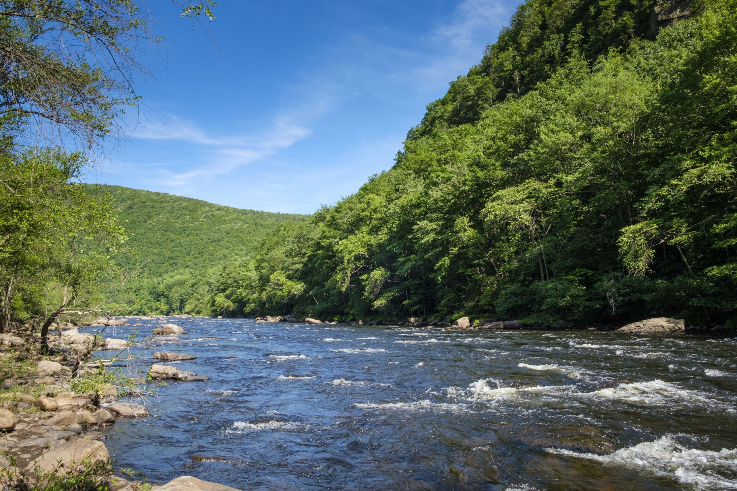
With high rainfall totals expected, numerous mudslides are likely, according to the FOX Forecast Center. This could rank among the wettest Christmas Eve to Christmas Day periods on record for the city.
WHY RARE 'HIGH RISK' FLOOD DAYS NEED TO BE TAKEN SERIOUSLY
People near recent burn scars, including the Palisades and Eaton Fires, should take protective action as soon as possible. According to the National Weather Service, ash from wildfires creates burn scars – a water-repellent coating that prevents the ground from absorbing water and causes the area to be predisposed to flash flooding and debris flows.
WHAT IS A WILDFIRE BURN SCAR AND HOW COULD THEY HAVE LASTING IMPACTS?
Flood Watches remain in effect for much of the entire state through at least Friday.
Be sure to keep tabs on your FOX Weather app and any government-issued alerts from the NWS that will warn you of life-threatening flooding at your location.
What's Your Reaction?
 Like
0
Like
0
 Dislike
0
Dislike
0
 Love
0
Love
0
 Funny
0
Funny
0
 Angry
0
Angry
0
 Sad
0
Sad
0
 Wow
0
Wow
0