


Prolonged flash flood threat targets the South as tropical trouble spins near the Gulf
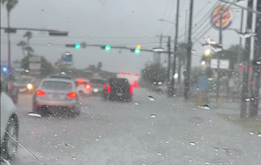
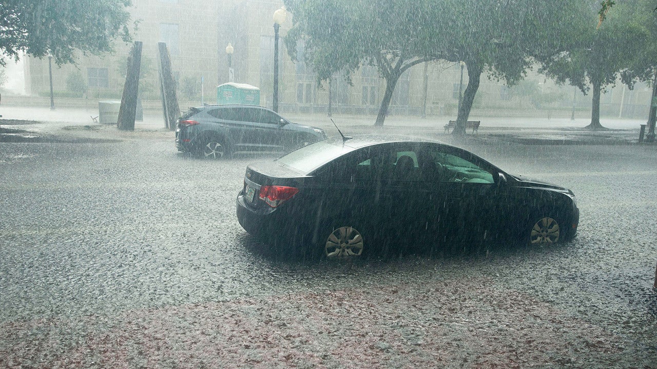
Confidence continues to grow for days of heavy rain to soak the South for much of the upcoming week, with flash flooding putting millions at risk from Texas to Georgia.
A Level 2 out of 4 flood threat has been issued through Thursday for various parts of the region with the likelihood of an upgrade in forecasts to come.
HOW HIGH PRESSURE AND LOW PRESSURE DRIVE THE WEATHER
Deep tropical moisture surging northward will interact with a strong cold front dropping south into the region beginning Sunday. As the front drifts south, it will come to a halt by midweek with daily showers and thunderstorms redeveloping along the boundary as plenty of instability remains available.
At the same time, an upper-level area of circulation — some of which is the ghost of former Tropical Storm Cristina from the eastern Pacific — will move north out of Mexico while tapping into immense Gulf moisture.
With rain values nearing record territory, slow-moving thunderstorms are expected to ride north off the Gulf as the disturbance tracks into Texas.
While the exact track of the system is unknown, the National Hurricane Center has placed an Area to Watch in the northwestern Gulf.
Although the circulation remains over land in northeastern Mexico, there is a low chance that the center reemerges over the Gulf by midweek as it interacts with the aforementioned front.
DEW POINT VS. HUMIDITY: WHICH ONE IS A BETTER MEASURE OF HOW MUGGY THE AIR FEELS?
While the chance of a named tropical storm, or even depression, forming remains very low, the dangerous flood threat remains the same.
Pacific and Gulf moisture teaming up as a firehose across the South will pose a mounting risk along the Texas coastline, with places like Houston and Corpus Christi under a Level 2 out of 4 threat through Tuesday.
Depending on the track and timing of the potent area of spin, we may still be tracking flash flooding through Friday, as some models show the system causing major impacts in the South into next weekend, according to the FOX Forecast Center.
An area of low pressure intensified as it tracked into the Central Plains Saturday afternoon, bolstered by an intensifying low-level jet and an ejecting upper-level shortwave trough.
Through early next week, widespread rainfall totals of 3 to 5 inches are possible from Texas through Alabama, with localized amounts of 5 to 8 inches or more.
HERE'S HOW WEATHER WILL IMPACT THE 2026 FIFA WORLD CUP
With the latest models showing this front stalling and multiple rounds of rain continuing into the middle of next week, the risk of flash flooding will likely persist and may expand.
What's Your Reaction?
 Like
0
Like
0
 Dislike
0
Dislike
0
 Love
0
Love
0
 Funny
0
Funny
0
 Angry
0
Angry
0
 Sad
0
Sad
0
 Wow
0
Wow
0