


%20052026%20SOURCE%20Tello.jpg)


Monster lake-effect snowstorm to dump feet of snow this week, prompting expanded New York State of Emergency
NEW YORK - After more snow bombarded the Great Lakes, portions of New York could see feet of snow on New Year’s Day, as gusty northwest winds from the east will continue to usher in cold air, creating the perfect conditions for a heavy lake-effect storm.
Parts of western and upstate New York, downwind of Lake Erie and Ontario, are expected to see a lot more snow, prompting a State of Emergency in New York.
The eastern shores of Lake Michigan, parts of upstate New York and northwestern Pennsylvania could see 3 to 5 inches.
While downwind of lakes Erie and Ontario, including areas just south of Buffalo, NY, and southward into Erie, PA, Syracuse and the Tug Hill Plateau could see even higher amounts, with localized totals of 12 to 18 inches.
Overnight, Syracuse has already seen 10 inches of snow within just four hours and more is on the way.
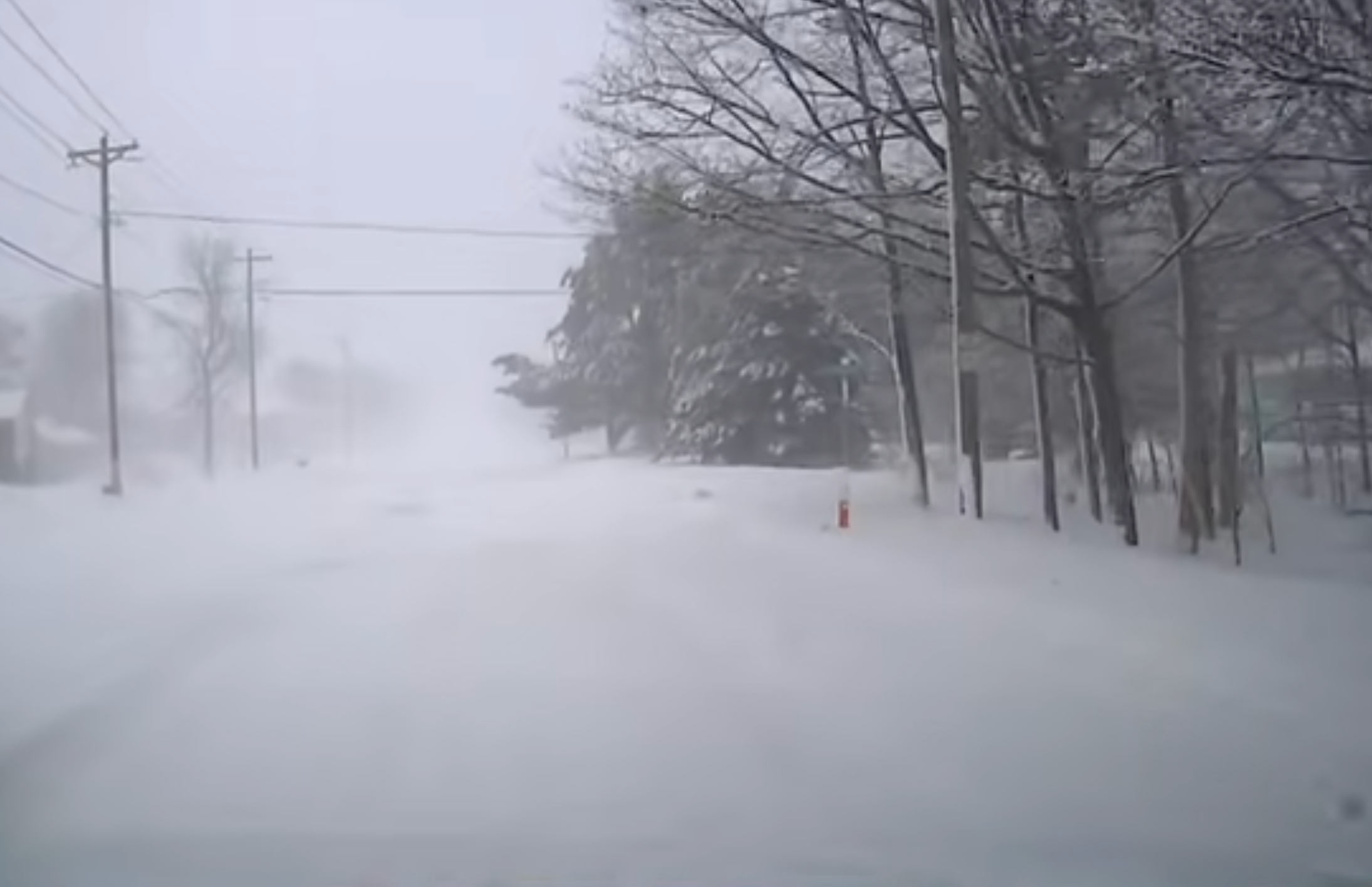
The storm could cause low visibility and wind gusts up to 70 mph near the lake shores.
Governor Hochul is urging New Yorkers in affected areas to avoid travel and if possible, work from home, as treacherous roads and near whiteout conditions are expected.
As of yesterday, more than 7,500 utility workers engaged in damage assessment, response, repair and restoration efforts, stated Hochul.
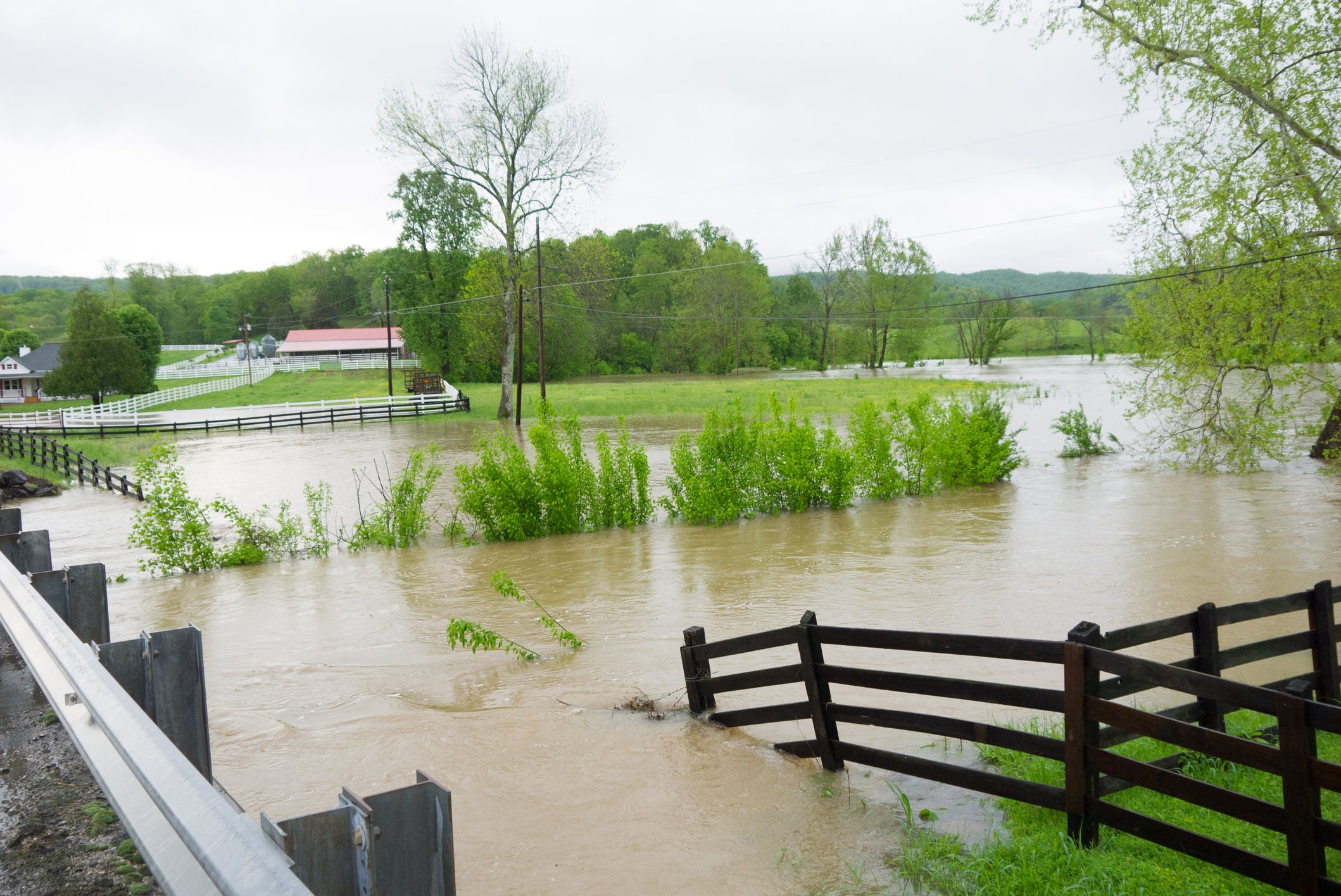
Coastal flooding is also possible in some areas as the strong winds push the water levels above normal.
WHAT TO DO DURING A WINTER STORM POWER OUTAGE
Not only is New York under a State of Emergency, Winter Storm Warnings and Lake Effect Snow Warnings have also been issued for Syracuse, Buffalo and Erie, PA through Friday morning.
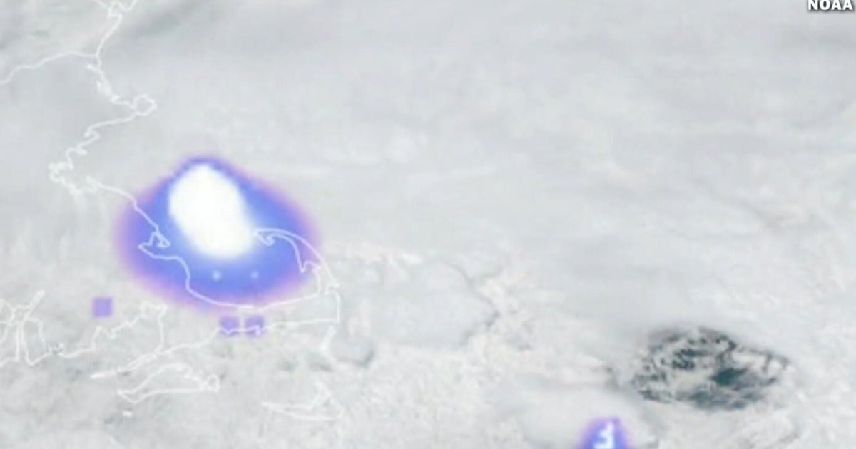
According to FOX Forecast Center, a dip in the jet stream settled just south of the Northern Tier, causing the northwest flow to continue to funnel air over the warmer water of the Great Lakes.
Several weaker disturbances embedded within the jet stream will track from west to east, supplying additional moisture and potentially enhancing snowfall across the Great Lakes and upstate New York through the end of the week.
On New Year’s Eve into early New Year’s Day, a weaker clipper is expected to move south from Canada through the Great Lakes, increasing the intensity of snowfall across western New York and portions of eastern Lake Erie.
This could even extend further into the Northeast, bringing lighter, decorative flakes to New York City and Boston.
This could cause a post-holiday travel headache as millions are expected to travel on New Year’s Eve and New Year’s Day.
Be sure to stay with FOX Weather for continuous coverage tracking the latest with lake-effect snowstorm.
What's Your Reaction?
 Like
0
Like
0
 Dislike
0
Dislike
0
 Love
0
Love
0
 Funny
0
Funny
0
 Angry
0
Angry
0
 Sad
0
Sad
0
 Wow
0
Wow
0