


Large hail, damaging winds threaten Plains, Rockies amid multiday severe storm risk
An active weather pattern is setting up across the Rockies and the Plains, bringing a multi-day threat of thunderstorms, large hail and damaging winds for the week.
The primary source behind the multi-day threat is a collision of atmospheric ingredients.
EXTREME HEAT TO GRIP THE PACIFIC SOUTHWEST WITH MILLIONS AT RISK OF TRIPLE-DIGIT TEMPERATURES
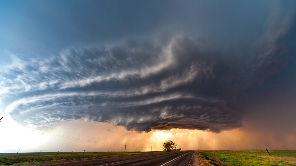
Hot, humid air pushing northward from the Gulf of America is providing plenty of moisture, while fast, energetic winds blowing overhead from west to east across the mountains are creating the spin needed to organize clouds into intense, rotating storms, according to the FOX Forecast Center.
Monday will be the highest risk, focused across the central and northern High Plains, particularly eastern Wyoming, western Nebraska and northeast Colorado.
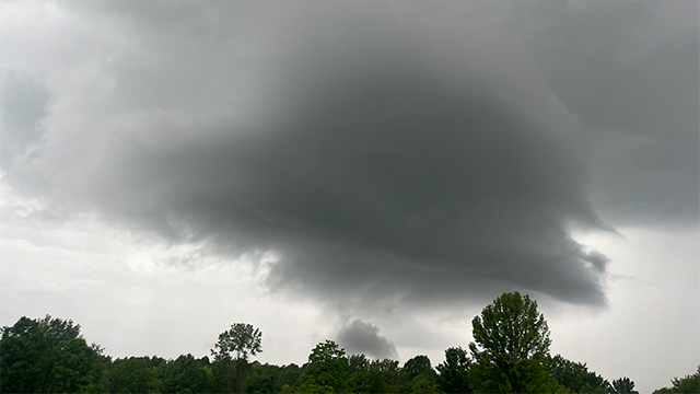
Widely scattered, but intense storms are likely to form in the afternoon.
SAHARAN DUST SETTLES OVER HURRICANE BREEDING GROUNDS. HERE'S WHAT IT MEANS FOR HURRICANE SEASON
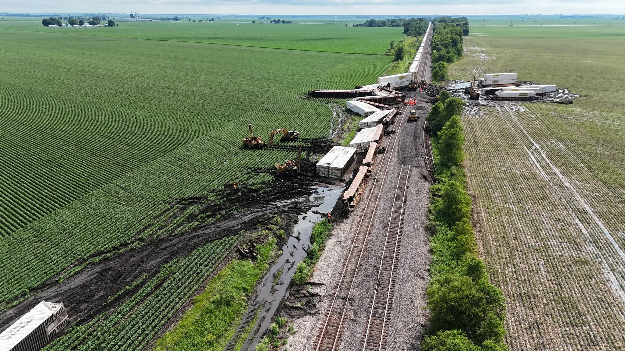
Because the upper-level winds are so strong, a few of these storms could become powerful thunderstorms, resulting in large to very large hail and sudden, damaging wind gusts.
The threat extends from southeast Montana all the way down to the Texas-Oklahoma panhandles, the FOX Forecast Center said.
By Tuesday, the greatest threat will be more confined and hone in on eastern Colorado and western Kansas.
While storms will start as individual, rotating cells in the afternoon, they are expected to merge into a massive, organized cluster as they push eastward into the evening.
3 PEOPLE SUFFER HEAT-RELATED DEATHS IN A WEEK'S SPAN WHILE HIKING GRAND CANYON TRAIL
On Wednesday and Thursday, the severe threat settles into a highly localized pattern along the higher-elevation prairies of eastern Colorado and southeastern Wyoming.
A large high pressure to the north will act as a giant fan, pushing air from east to west right back up against the Rocky Mountains.
This persistent "upslope" flow keeps a narrow corridor right next to the mountains highly unstable, meaning both Wednesday and Thursday afternoon will feature a repeated threat of strong storms capable of dropping large hail.
The series of storms are not one massive, continuous storm, but rather a multiday window where the atmosphere is primed to produce severe weather each afternoon and evening.
What's Your Reaction?
 Like
0
Like
0
 Dislike
0
Dislike
0
 Love
0
Love
0
 Funny
0
Funny
0
 Angry
0
Angry
0
 Sad
0
Sad
0
 Wow
0
Wow
0