

















%20102026%20top%20art%20SOURCE%20Amazon-Skylight.jpg)



Fall storm to blast 40M across major Northeast cities with severe weather ahead of the season's first freeze

THE TAKEAWAY
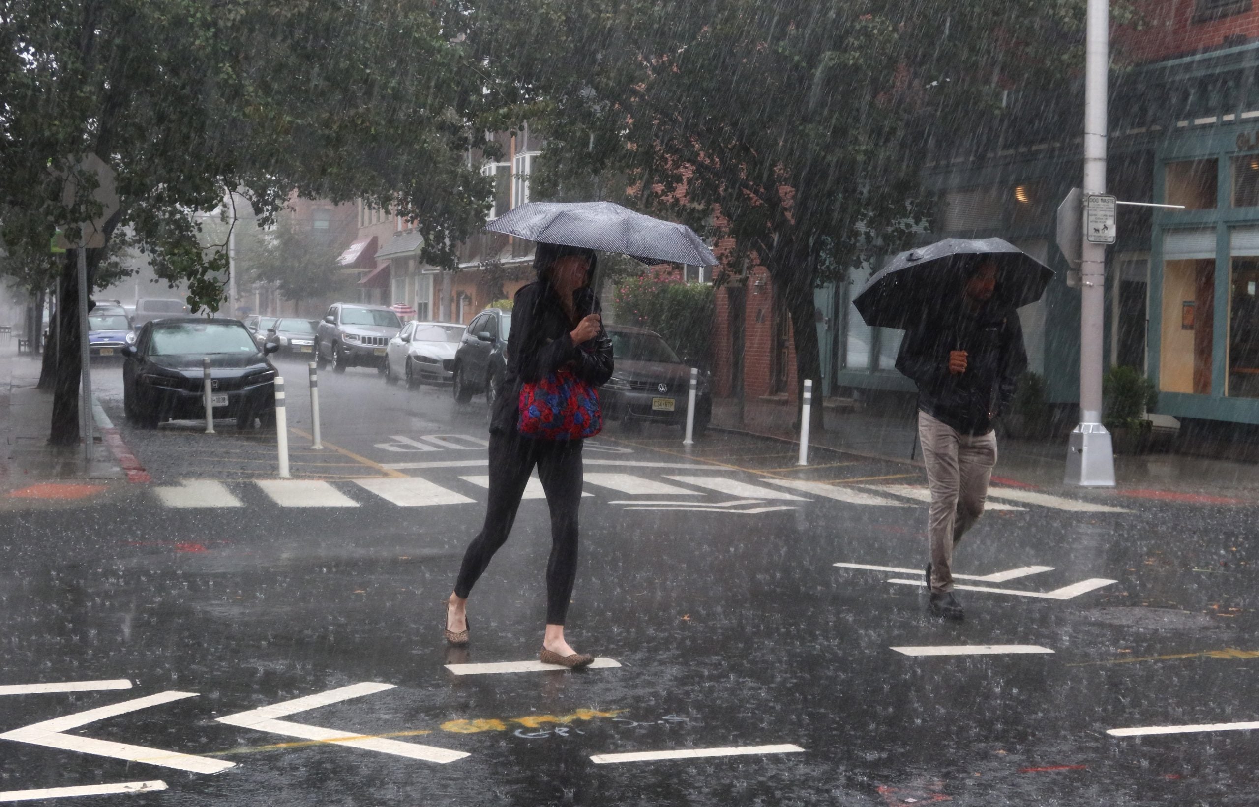
Some areas across the Northeast are waking up to rain Friday morning ahead of a severe weather threat expected to develop Friday afternoon, affecting more than 40 million people in Washington, D.C., Baltimore, Philadelphia, New York City and Boston.
Damaging wind gusts will be the main threat with the potential for gusts up to 70 mph, particularly across eastern Pennsylvania and Northern New Jersey as thunderstorms rumble through the region.
Behind the storm, conditions will remain breezy as the chilliest temperatures of the season arrive by Saturday morning, with parts of northern New England waking up to low temperatures in the low 30s.
SEVERE STORMS THREATEN NORTHEAST THIS WEEKEND — WHERE WILL THE HEAVIEST RAIN FALL?
Rain is expected to pause mid-Friday morning, which will allow for some daytime heating, leading to more intense thunderstorms in the afternoon.
NOAA has issued a Level 2 out of 5 risk of severe thunderstorms for parts of the Delmarva, eastern Pennsylvania, New Jersey, the New York City metro area, Long Island, the Lower Hudson Valley and southwestern Connecticut.
POWERFUL STORM TO SLAM THE NORTHEAST WITH RAIN, DANGEROUS WINDS BEFORE FIRST MAJOR FALL FREEZE
"The biggest threat will be strong damaging winds with brief tornado potential which will increase this afternoon into early evening," the FOX Forecast Center said.
The heaviest rain is also expected to arrive over the Interstate 95 corridor around the evening commute.
The coolest temperatures of the season will arrive on Saturday morning behind the massive cold front that brought Friday's severe weather.
Northern New England will likely see frosty conditions Saturday and Sunday mornings, with lows in the low 30s.
ANOTHER COASTAL STORM COULD BE BREWING FOR EAST COAST WITH IMPACTS POSSIBLE EARLY NEXT WEEK
"Cooler temperatures will allow for some snow across higher elevations on Saturday, but this has significantly backed off as the area of low pressure will not strengthen as much as originally anticipated," the FOX Forecast Center said.
By midday Saturday, wind gusts will decrease to around 20 to 30 mph, allowing drier conditions to return.
Despite this, light precipitation of 0.5 to 1 inch of rain could continue across the Great Lakes to New England and stretch into upstate New York, where totals could be closer to 1 to 2 inches.
South of the Interstate 90 corridor, temperatures will drop into the low 40s on Sunday morning.
What's Your Reaction?
 Like
0
Like
0
 Dislike
0
Dislike
0
 Love
0
Love
0
 Funny
0
Funny
0
 Angry
0
Angry
0
 Sad
0
Sad
0
 Wow
0
Wow
0