














%20ILLUSTRATION%20Isadora-Ayesa%20Lima%20SOURCE%20Amazon.jpg)



Bryan Norcross: Gulf disturbance tagged Invest 92L showing some signs of organization


Last updated at 11:30 a.m. on Oct. 6, 2026
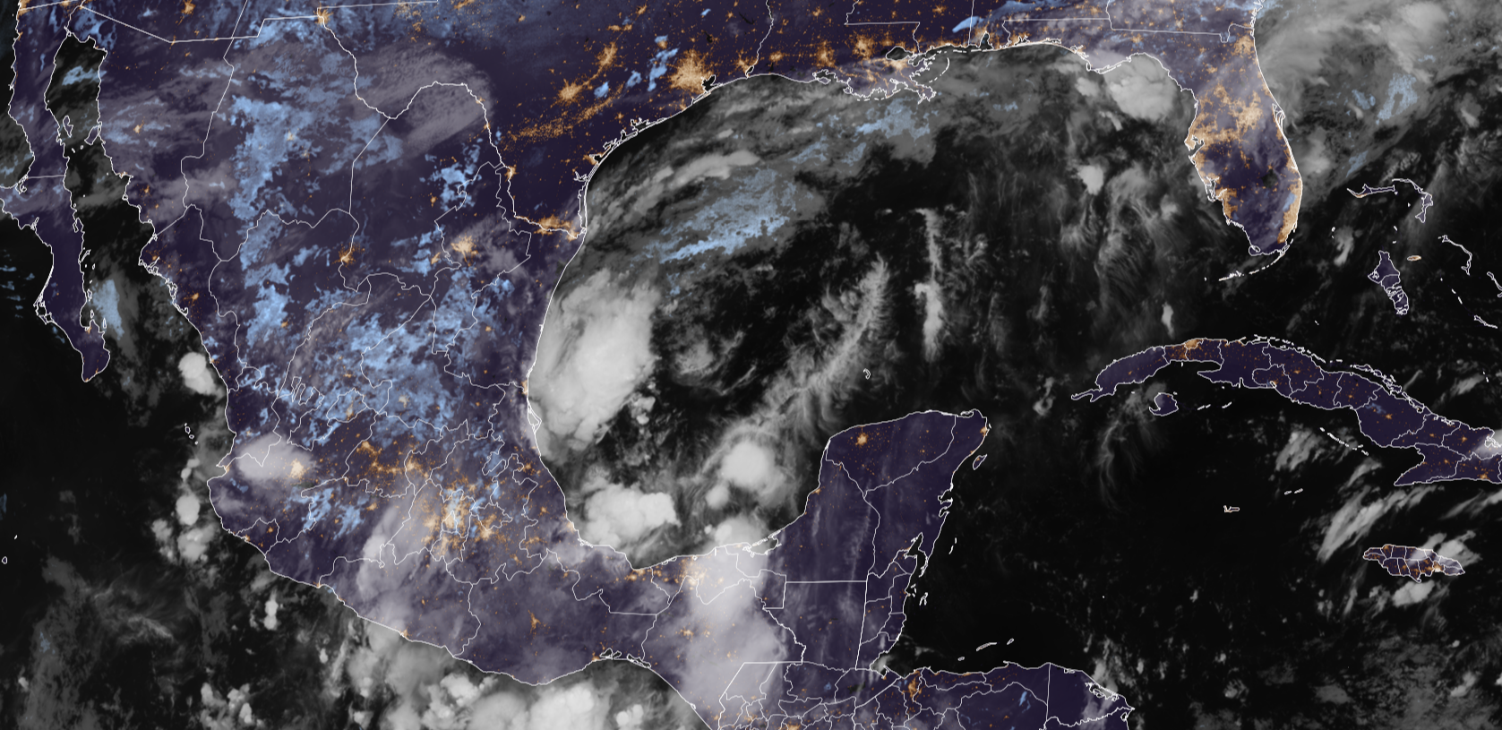
The disturbance in the Gulf – officially designated by the National Hurricane Center as Invest 92L – is still disorganized but showing signs of coming together. The system is drifting off the coast of Mexico in a part of the Gulf where the curvature of the coastline sometimes helps circulations get going.
LATEST FROM FOX WEATHER HURRICANE SPECIALIST BRYAN NORCROSS
The weather pattern is complicated. If the system organizes and strengthens over the next day or so, it will likely be pulled north as Tropical Storm Isaias. But if it stays weaker longer and lollygags over the southern Gulf, it's more likely to get stuck in the Gulf.
Upper-level winds are forecast to remain hostile over the extreme northern Gulf and only be moderately supportive over the central Gulf. Plus, there is very dry air over Texas that will wrap into the system. That combination of factors would seem to favor an upper limit on the system's intensity in the tropical-storm range.
Until the system organizes, forecasts are likely to shift around and are subject to large errors, so don't lock into any one prediction at this point.
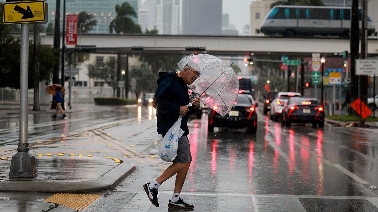
Whether there's an organized storm involved or not, intense tropical moisture looks likely to stream north into the eastern half of the northern Gulf Coast. New Orleans looks to be on the western edge of the moisture.
While the system is developing, a front will sag south and tap into the tropical moisture over the peninsula of Florida producing an extended period of heavy rain, especially from Lake Okeechobee north. Although South Florida will likely experience enhanced rainfall as well.
By the weekend, the front and the moisture will be lifting north into the Southeast regardless of whether Isaias develops or not.
Some areas, especially along the I-10 corridor across or near the Florida Panhandle, could receive an extreme amount of rainfall on top of the heavy rain that has fallen over the last few days.
Plan to stay informed this week from New Orleans to Florida as the forecast comes into focus.
The system off the Pacific coast of southern Mexico is forecast to eventually develop into Tropical Storm Simon. The consensus of the computer model forecasts is that Simon will track north offshore of the Mexican coast until late Friday or Saturday. A strong dip in the jet stream is forecast to dive south off the U.S. West Coast, which looks likely to divert Simon toward land. Areas north of Manzanillo, including Puerto Vallarta and Cabo San Lucas, should plan to stay informed later this week.
That same strong dip in the jet stream is also forecast to turn Rachel around and aim it toward Baja California. It would likely be a remnant system, but its moisture would spread into northern Mexico and Southern California.
This shift in the weather pattern will finally end the intense heat wave across SoCal and much of the Southwest. In fact, if the jet stream dip is as strong as forecast, below-normal temperatures look likely.
In addition, energy that Rachel was putting into the ocean will cause dangerous currents and high surf across Southern California for the next few days.
The National Hurricane Center is also painting a low-odds potential development area behind likely-Simon. It will also move north near or over the Mexican coast.
What's Your Reaction?
 Like
0
Like
0
 Dislike
0
Dislike
0
 Love
0
Love
0
 Funny
0
Funny
0
 Angry
0
Angry
0
 Sad
0
Sad
0
 Wow
0
Wow
0