


%20052026%20SOURCE%20Tello.jpg)


Week-long snowstorm dumps feet of lake-effect snow on the Great Lakes
Portions of the Great Lakes are ending 2025 on a snowy note as a week-long lake-effect snowstorm dumped feet of snow across the region with more to come in the new year.
As the new year begins on Thursday, parts of western and upstate New York could see another foot of snow, where several inches were reported earlier in the week.
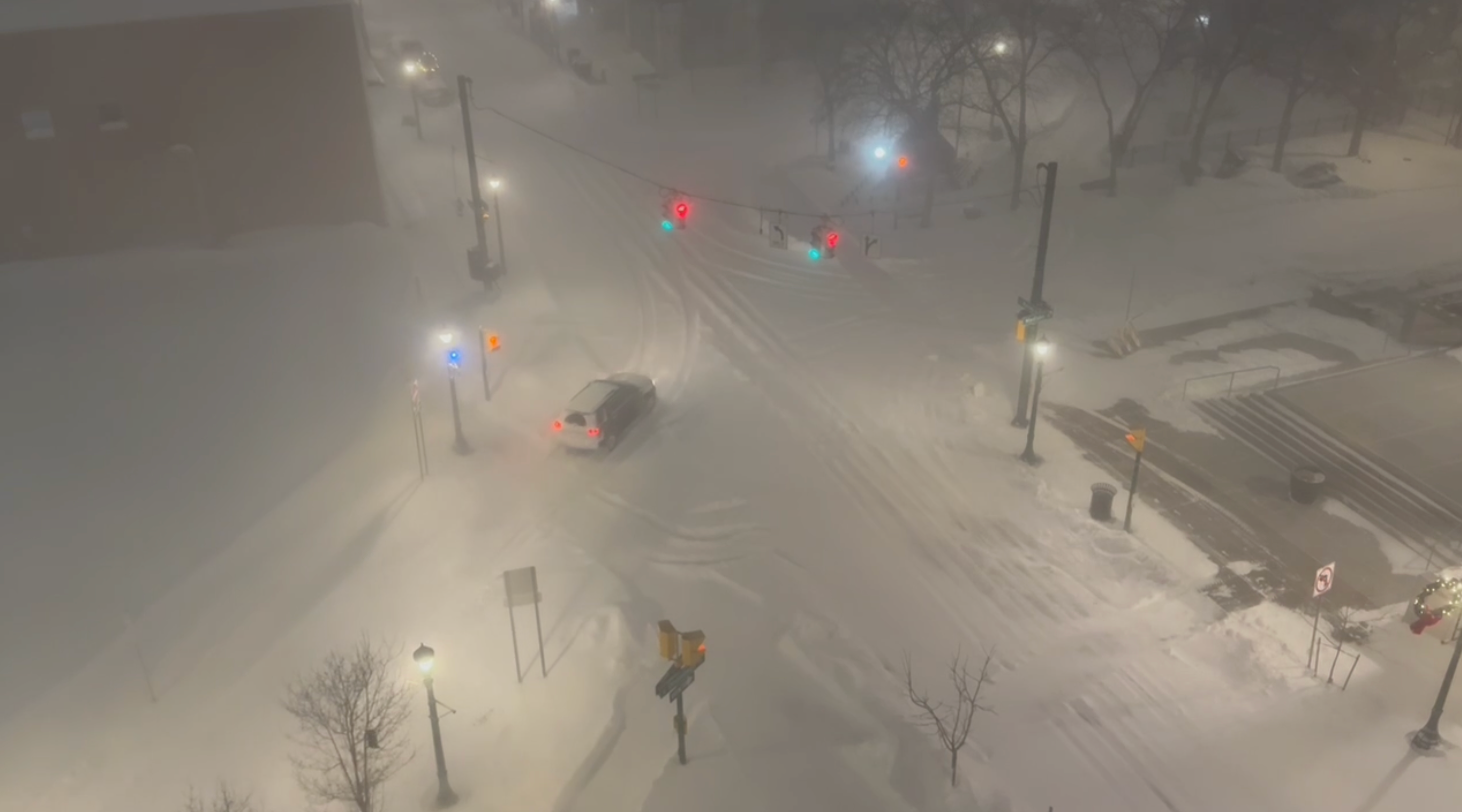
Syracuse, New York has already nearly doubled its average snowfall record for the year, and saw more than two feet of snow on Tuesday alone.
That marks the city's second-snowiest day on record and their snowiest December day ever.
FOX Weather Correspondent Katie Byrne reported from Syracuse during some of the heaviest snow on Tuesday and Wednesday.
A statewide State of Emergency remains in effect for New York as the state's Department of Transportation works hard to treat and clear roads ahead of more snowfall.
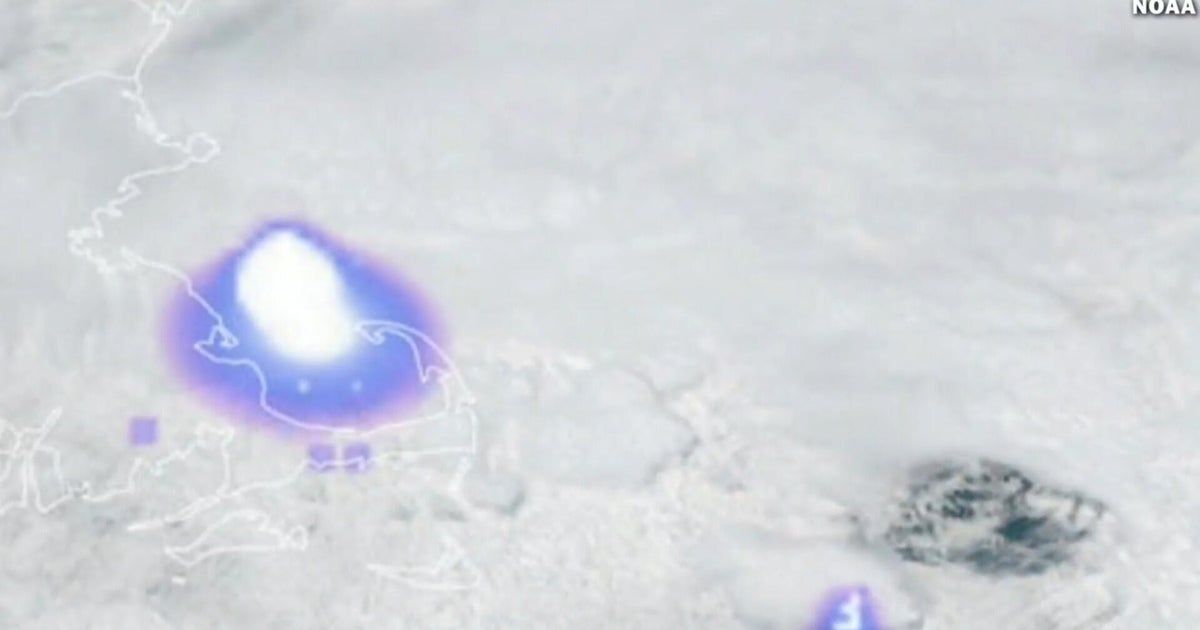
Areas closer to lakes Erie and Ontario are likely to see more snow this time around, as a pronounced dip in the jet stream settles just south of the Northern Tier.
According to the FOX Forecast Center, winds will continue to funnel cold air over the comparatively warmer waters of the Great Lakes through New Year’s Day.
The National Weather Service office in Binghamton, New York, warned that snow squalls were possible Wednesday night, so people out celebrating the New Year should use extreme caution when traveling.
Think of a snow squall like a miniature blizzard with gusty winds that typically last less than an hour. Very high snowfall rates, on the order of 2 inches in 30 minutes, are not uncommon.
HERE'S HOW TO KEEP YOUR FURRY FRIENDS SAFE THIS WINTER SEASON
Snow will continue to fall through Friday, where totals will vary.
The FOX Forecast Center said snow totals downwind of Lake Ontario could approach three feet near the Tug Hill Plateau in upstate New York by Saturday morning.
Elsewhere, snow totals could range from 8 to 12 inches south of Buffalo. Parts of Pennsylvania could see up to a foot of new snow by Saturday morning.
Winter weather alerts are in place through Saturday morning across the Great Lakes.
The FOX Forecast Center said, as with any lake-effect snow event, pinpointing exactly which communities will receive the highest totals remains challenging.
These narrow snow bands can shift north or south with subtle changes in wind direction, leading to sharp contrasts in snowfall, where one location may receive two feet of snow while another just three miles away sees only a few inches.
What's Your Reaction?
 Like
0
Like
0
 Dislike
0
Dislike
0
 Love
0
Love
0
 Funny
0
Funny
0
 Angry
0
Angry
0
 Sad
0
Sad
0
 Wow
0
Wow
0