


%20052026%20SOURCE%20Tello.jpg)


Temperatures tumble as arctic blast settles across Eastern U.S. after record-setting heat
Frigid temperatures have returned to the Lower 48 after record-breaking heat faded away from the weekend.
Temperatures are back below average after some areas across the U.S. experienced their warmest December day on Sunday, including St. Louis, Missouri, which recorded a temperature of 78 degrees, the warmest on record for the month. Within hours, that number drastically fell.
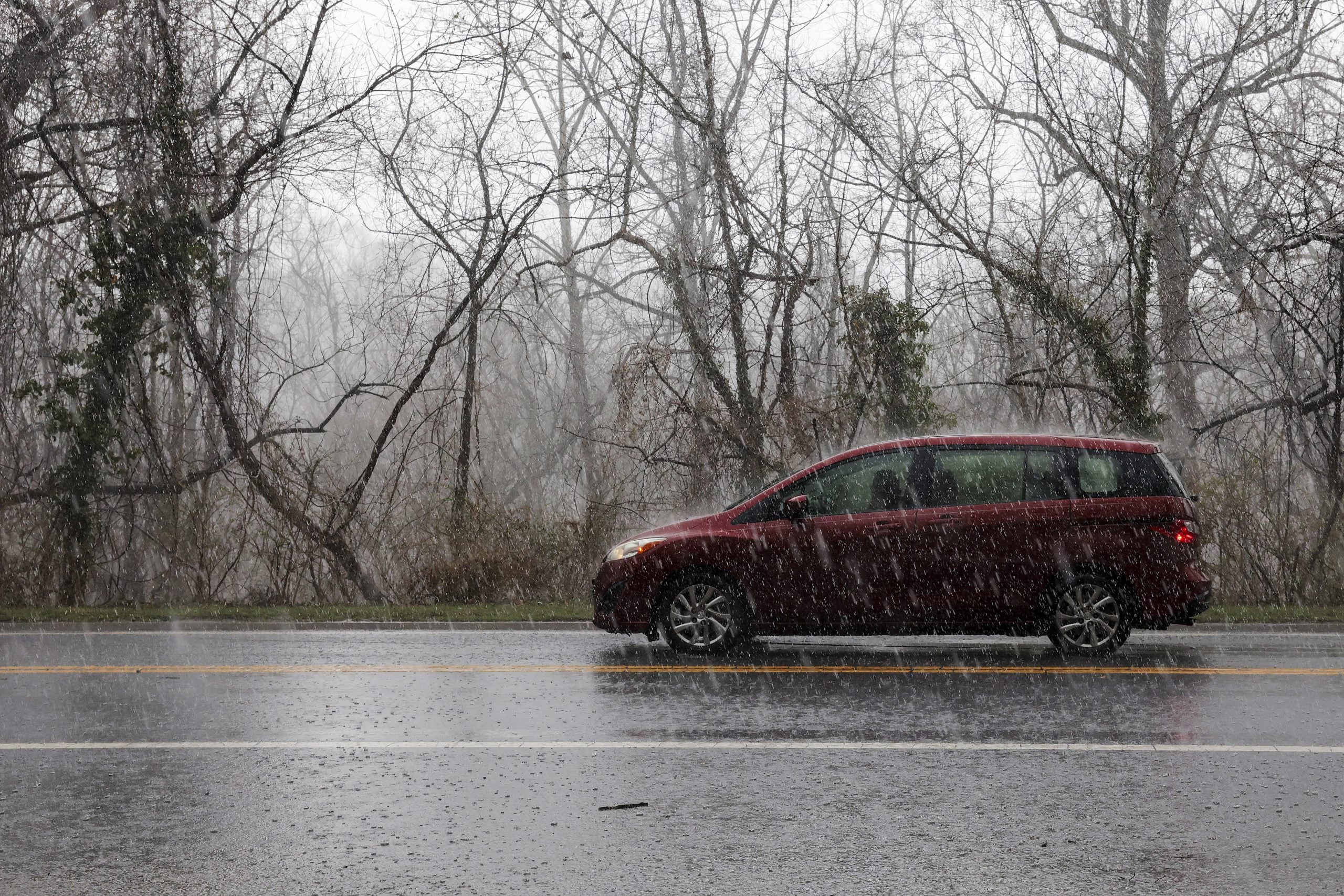
Cold arctic air moved into the Northeast at the start of the work week and was in full effect on Tuesday.
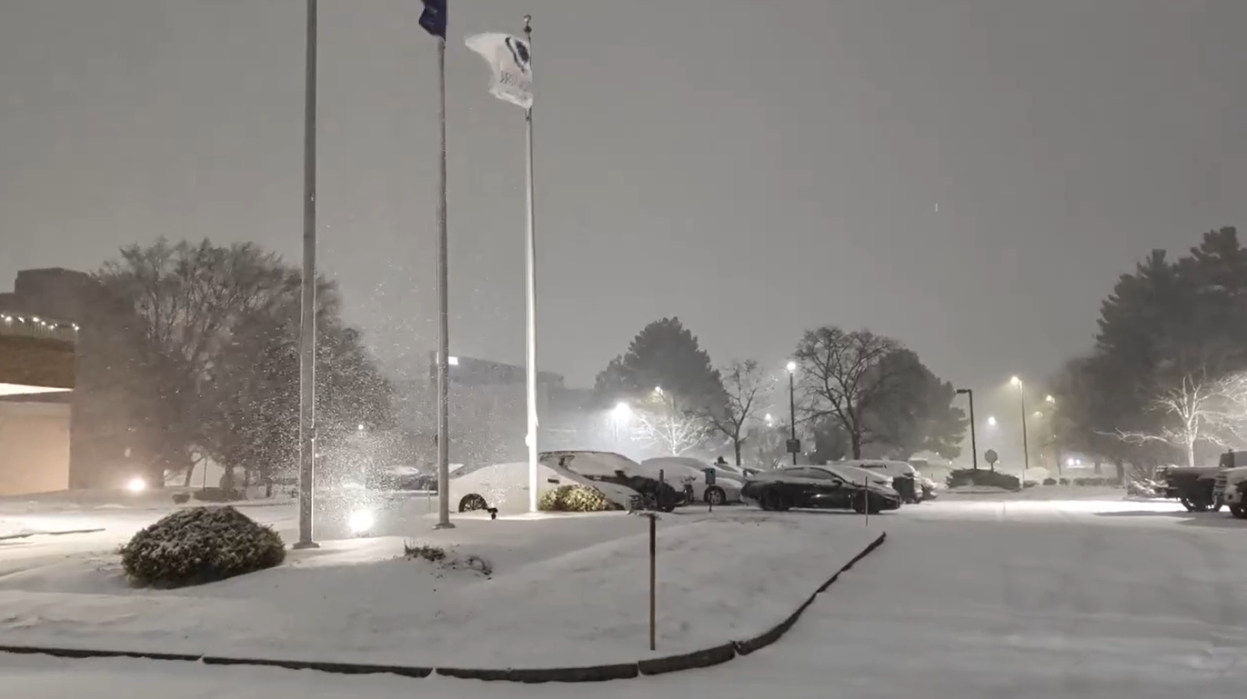
Locations such as Syracuse, New York, are under a Winter Storm Warning until New Year’s Eve.
On Tuesday morning, nearly 240 million Americans experienced below-average temperatures.
Major cities such as Atlanta went from a high of nearly 70 degrees on Sunday to a low of about 28 degrees on Tuesday morning, according to the FOX Forecast Center.
Temperatures will remain low through the start of the new year on Thursday.
Freezing temps could pose a threat to travelers for New Year’s Eve celebrations, as recent rain and wintry conditions could cause black ice and unsafe road conditions.
Morning lows this week will fall into the single digits in cities such as Minneapolis, Minnesota, and Chicago, and across the interior Northeast.
The FOX Forecast Center said much of the eastern U.S. will see closer to average temps by New Year's Eve on Wednesday.
But another surge of chilly air is expected to settle in across the Upper Midwest, Great Lakes and Northeast into New Year's Day.
NEW YEAR'S WEATHER OUTLOOK: HOW WILL YOUR REGION WRAP UP 2025 AND RING IN THE NEW YEAR?
With changing weather conditions, it is important to be prepared for the worst; intense winter weather can be dangerous.
Download the FOX Weather app to stay updated and safe for whatever comes your way this holiday season.
What's Your Reaction?
 Like
0
Like
0
 Dislike
0
Dislike
0
 Love
0
Love
0
 Funny
0
Funny
0
 Angry
0
Angry
0
 Sad
0
Sad
0
 Wow
0
Wow
0