


%20052026%20SOURCE%20Tello.jpg)


Sprawling winter storm stretching 1,000+ miles could bring dangerous snow and ice across Northern Tier
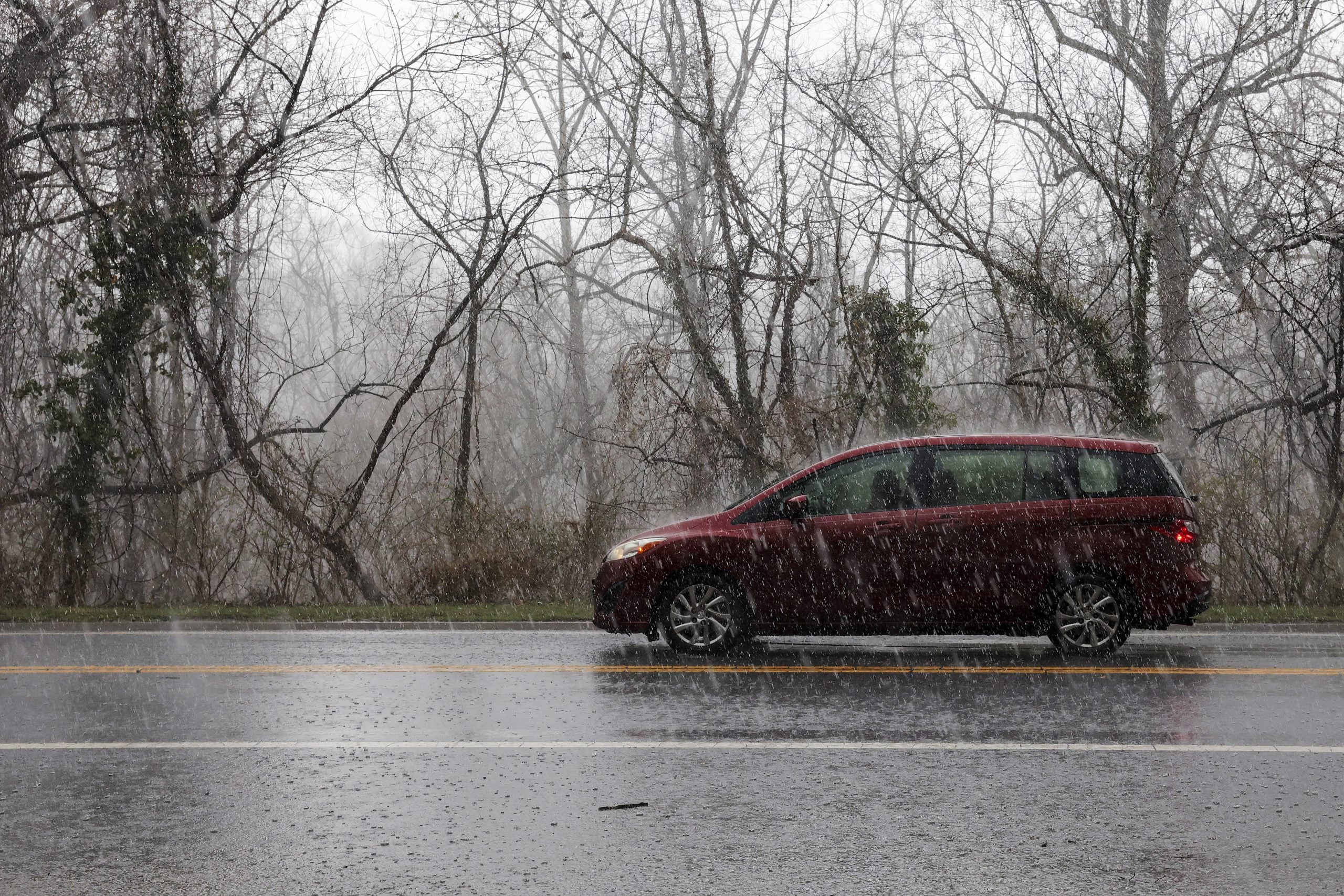
Winter’s grip is holding on tight over the Northern Tier as the FOX Forecast Center is tracking yet another chance for snow, even ice and freezing rain from Tuesday night through Thursday.
The complex system could span over 1,000 miles, bringing dangerous snow and icing to the Upper Midwest and New England this week, as the potential storm is the result of a strong collision between a deep pool of moisture lifting from the south and Arctic air pushing down from Canada.
LIGHT SNOW MOVES ACROSS NORTHEAST, MINOR TRAVEL ISSUES POSSIBLE AFTER SEVERE STORMS IN THE SOUTH
The system is expected to develop in the West before racing across the Northern Tier. It should take shape in the Northern Rockies on Tuesday, strengthen across the Northern Plains, and track toward the Great Lakes, after which its exact path becomes less certain.
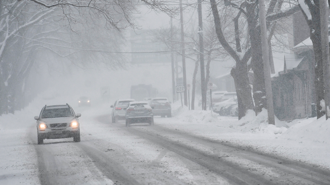
In the Upper Midwest—specifically North Dakota, Minnesota, Wisconsin, and northern Michigan—a moderate snowstorm is expected, though some impacts remain unclear.
The FOX Forecast Center is becoming more confident in the timing and overall strength of the storm.
The system should arrive late Tuesday and linger through early Thursday.
'SIGNIFICANT AND DANGEROUS' STORM TO UNLEASH SEVERE WEATHER, FLOODING THREAT FOR SOUTHERN CALIFORNIA
The storm will have plenty of fuel, drawing in unusually high moisture for this time of year from both a Pacific surge moving in from the Southwest and additional moisture from the Gulf of America.
As it intensifies, northern Minnesota and North Dakota will be in a favorable position for heavy snow Tuesday night into Wednesday morning and, with strong winds also expected, blizzard conditions cannot be ruled out yet.
Currently, these two states hold the highest probability of significant snowfall, with a decent chance that totals surpass 5–8 inches.
The exact storm track remains uncertain as small shifts north or south will make a big difference in precipitation type.
If warmer air pushes farther north than currently expected, parts of the Upper Midwest could see more rain or a rain-snow mix instead of primarily snow. Conversely, if the storm tracks slightly farther south, colder air would remain in place and snowfall totals would likely trend higher, according to the FOX Forecast Center.
By Wednesday, the system should begin to weaken.
Coverage will likely decrease, and colder air will filter back in. However, there is still some concern about a brief window for freezing rain Wednesday if a shallow layer of cold air remains at the surface while warmer air moves overhead.
What's Your Reaction?
 Like
0
Like
0
 Dislike
0
Dislike
0
 Love
0
Love
0
 Funny
0
Funny
0
 Angry
0
Angry
0
 Sad
0
Sad
0
 Wow
0
Wow
0