














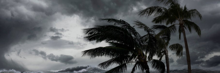



South drenched by stubborn downpours as atmospheric firehose reignites days of torrential rain and flood risks

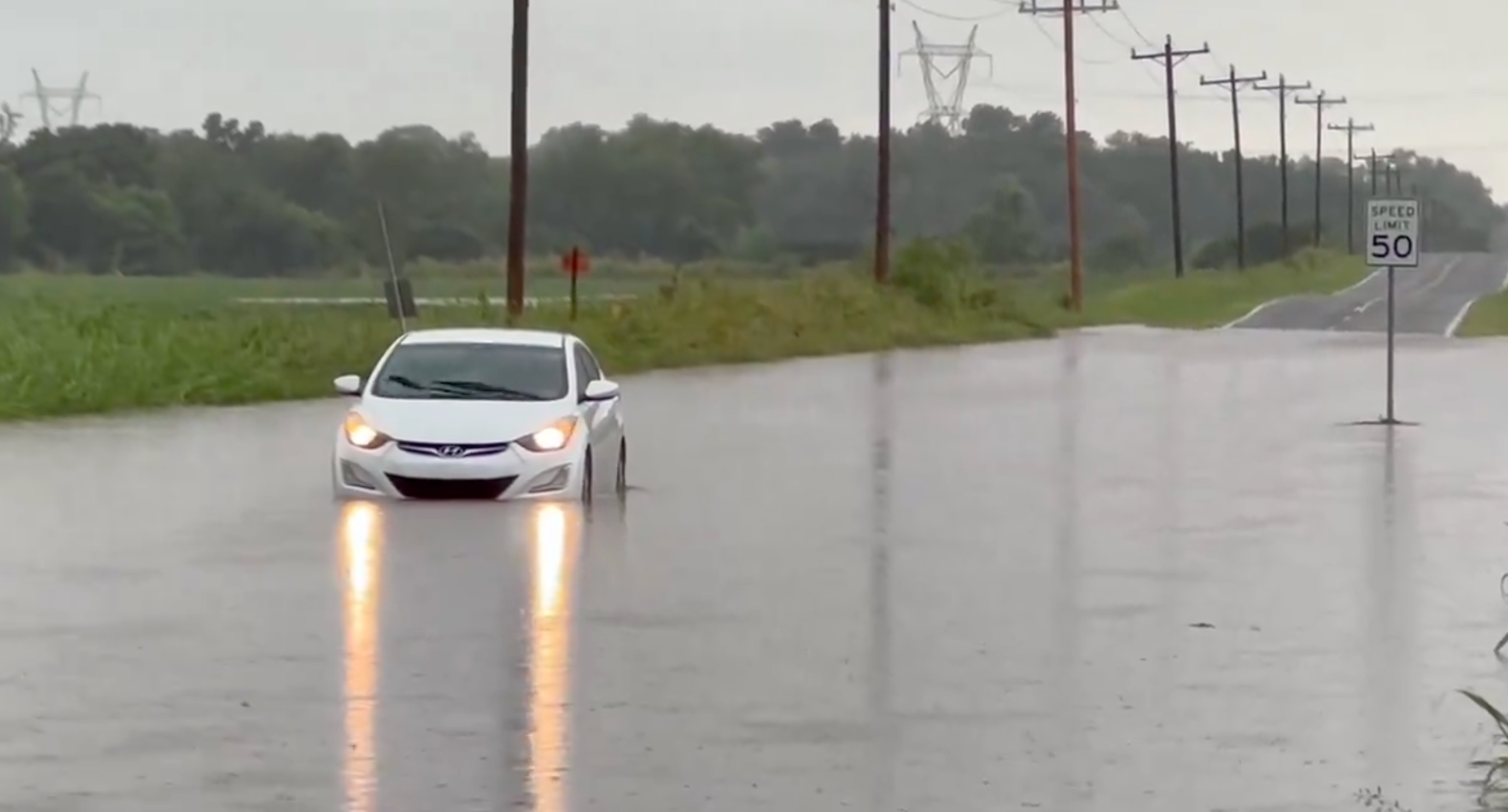
Relentless storms continue to drench much of the South as downpours move across the Southeast through Tuesday, compounding the days of rain that already triggered flash flooding across Texas, Louisiana and Mississippi.
But these initial heavy downpours are just the beginning, as a completely separate disturbance is set to stall, drenching portions of the region straight through Friday, heightening more flooding risks.
By midweek, an atmospheric firehose is set to lock in over the Gulf Coast, tapping into a stalled corridor of deep tropical moisture to unleash days of torrential rain across Texas and Louisiana.
The FOX Forecast Center notes the chance for flash flooding every day this week.
WET WEATHER EXPECTED TO DAMPEN PLANS FOR MILLIONS ON THE EAST COAST THIS MEMORIAL DAY WEEKEND
While the current system slowly tracks eastward, a new, distinct upper-level disturbance will dig into the Southwest and push toward the Southern Plains on Tuesday.
As it does, it will tap into a massive reservoir of tropical moisture over the Gulf of America, driving up moisture levels and triggering renewed rounds of rain.
This fresh upper-level energy will stall over the region, providing the continuous lifting mechanism needed to spark the widespread, repeated rounds of heavy thunderstorms.
WATCH: GOOD SAMARITAN CARRIES STRANDED DRIVER THROUGH ATLANTA FLOODWATER
"The main concern with this second disturbance is that the heavy rain will point directly at areas in Texas and Louisiana that are already dealing with a thoroughly soaked landscape from this past week," the FOX Forecast Center highlighted.
This has prompted a Level 2 out of 4 risk for flash flooding on both Tuesday and Wednesday, pinned over south-central Texas, eastern Texas, and western Louisiana.
Areas impacted on Tuesday include San Antonio, Austin, San Angelo and down into the Rio Grande, while Wednesday shifts more into Corpus Christi, Houston and Lake Charles.
This setup will not be a quick-hitting event as the upper-level low is forecast to remain sluggish and stuck over the South-Central U.S. even through Thursday and Friday.
KNOW YOUR FLOOD TERMINOLOGY: WHAT FLOOD WATCHES, WARNINGS AND EMERGENCIES REALLY MEAN
This means that day after day, storm complexes will repeatedly roll over the same corridors from the Texas coast through the lower Mississippi Valley.
With these conditions locked in place for the second half of the workweek, the rain is going to pile up, resulting in another widespread 2 to 3 inches of rainfall through Friday, with locally higher amounts possible.
Stay with FOX Weather as we continue to track the latest forecast.
What's Your Reaction?
 Like
0
Like
0
 Dislike
0
Dislike
0
 Love
0
Love
0
 Funny
0
Funny
0
 Angry
0
Angry
0
 Sad
0
Sad
0
 Wow
0
Wow
0