

















Severe storms take aim at millions across Southern Plains and Midwest this weekend following record heat

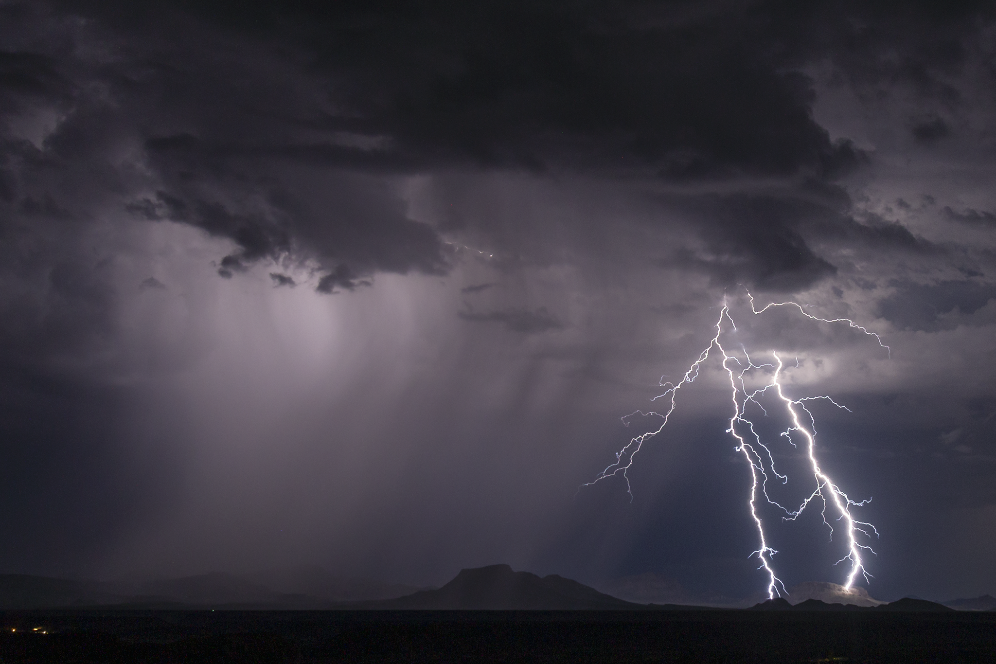
Record heat, which is beginning to arrive for millions across the Central U.S. will give way to the next rounds of severe weather by this weekend.
OMEGA BLOCK EXPECTED TO LEAVE MAJORITY OF US IN A LULL OF STAGNANT WEATHER THIS WEEK
An Omega block weather pattern is starting to take hold across the U.S., which is shifting record heat from the west over the middle of the country. Omega block weather patterns get their name because the upper air pattern looks like the Greek letter omega (Ω).
Temperatures will soar well into the 80s across the Plains through the workweek, with the hot weather peaking on Thursday and Friday.
This Omega pattern is expected to quickly break down shortly after and a dip in the jet stream will usher in several rounds of severe weather into the Central and Southern Plains, as well as parts of the Mid-Mississippi and Tennessee valleys by the weekend.
According to the FOX Forecast Center, as these systems emerge from the West, they will quickly begin to pull moisture from the Gulf northward into the heart of the country, which will fuel weekend storms.
HOW HIGH PRESSURE AND LOW PRESSURE DRIVE THE WEATHER
NOAA's Storm Prediction Center (SPC) has issued a Level 2 out of 5 risk of severe thunderstorms across a corridor from southern Iowa to parts of North Texas on Saturday. This includes areas Wichita, Oklahoma City and Wichita Falls, Texas metro areas.
Saturday's storms will be driven by a dryline — the boundary between dry air from the west and moist air from the Gulf — that is forecast to set up across west Texas, Oklahoma, and Kansas. This setup could fuel the development of supercell thunderstorms.
The biggest risk for supercells that do develop are large hail and damaging winds, but a few tornadoes are also possible.
A second, more powerful storm system is expected to develop across the region Sunday.
A complex of severe storms is likely to organize by late Sunday afternoon, tracking across Kansas, Nebraska, and Iowa. A broad Level 2 threat covers this area as well as parts of northwestern Missouri and central Oklahoma.
TRIPLE-DIGIT HEAT RETURNS TO THE WEST AS DOZENS OF MAJOR CITIES EYE RECORD-BREAKING TEMPERATURES
According to the Forecast Center, Sunday's storms could carry an enhanced risk of tornadoes, but the exact details of the forecast will be fine-tuned through the week.
Beyond the weekend, above-average rain appears likely for the second half of May, with a pattern that's even more conducive for storms Central U.S. expected to take shape.
Stay with FOX Weather for the latest on this weekend's potential storms.
What's Your Reaction?
 Like
0
Like
0
 Dislike
0
Dislike
0
 Love
0
Love
0
 Funny
0
Funny
0
 Angry
0
Angry
0
 Sad
0
Sad
0
 Wow
0
Wow
0