


%20052026%20SOURCE%20Tello.jpg)


Record warmth to push east, fueling rounds of rain and storms across major cities from South to Northeast

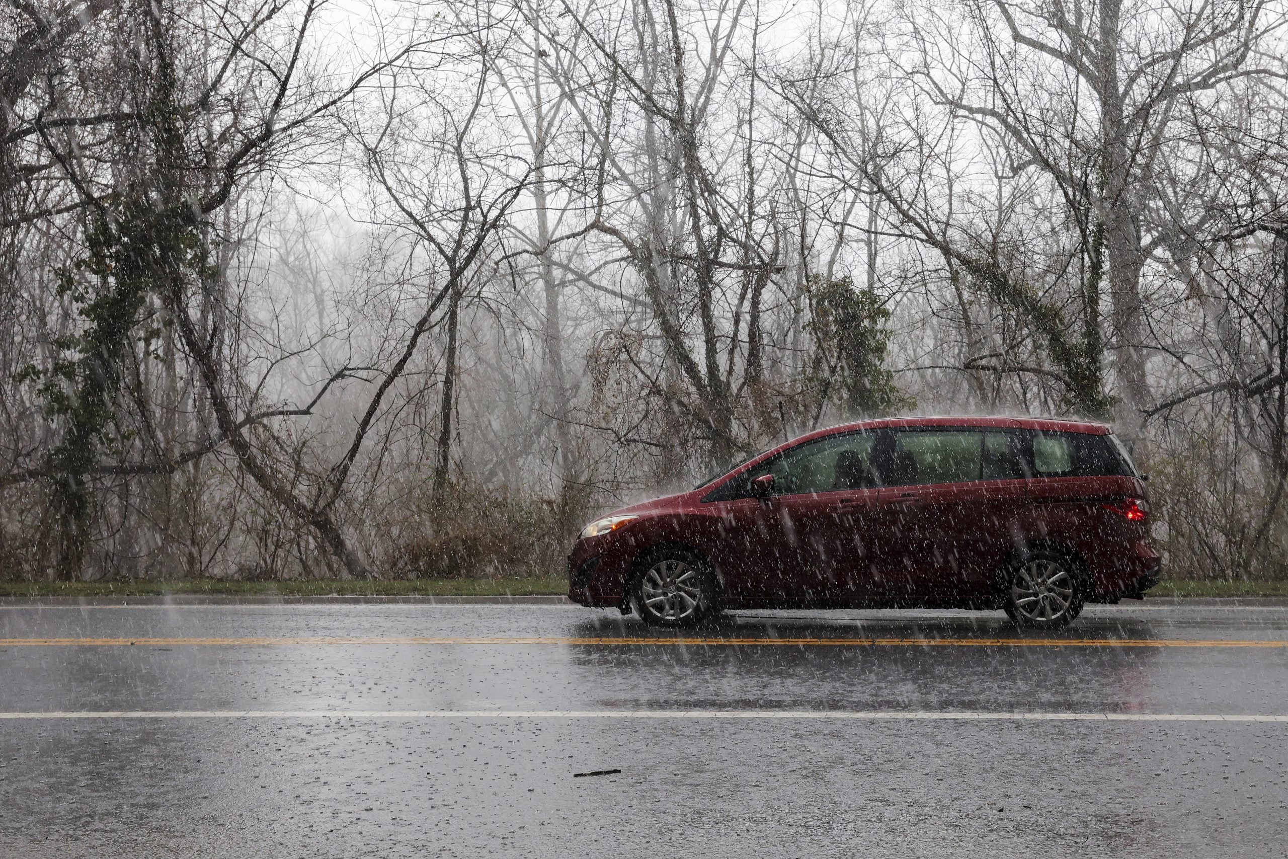
Records are set to tumble this week as summer-like heat surges into the Eastern U.S. While the ridge brings record warmth by Tuesday, the warmer airmass will also fuel days of rain and storms as it pushes from the South toward the Northeast.
With over 280 million Americans expected to experience above-average temperatures, some areas are likely to see their warmest temps of the year so far, with more than 150 record highs potentially falling.
From Monday through Thursday, more than 100 daily record highs could be tied or broken, with the majority of those records likely occurring on Tuesday.
And as the pattern weakens slightly to the North, rain and possibly a few storms could develop across the Northeast later in the week.
That said, an active weather pattern will persist across the Central U.S., while a ridge of high pressure begins to strengthen along the East Coast by Monday and Tuesday.
By Wednesday, Raleigh, North Carolina, could reach a record high with temperatures near 90 degrees.
"If reached, this would mark the city’s first 90-degree day since September 2025," the FOX Forecast Center said.
Other cities that could approach 90 degrees include Washington, DC; Richmond, Virginia; and Charlotte, North Carolina.
This would mean temperatures could climb more than 20 degrees above normal by the middle of the week, as the average high for mid-April is in the upper 60s.
As the northern edge of the ridge weakens slightly, rain—and possibly some storms—may develop across the Northeast later in the week.
HEAVY RAIN SOAKS CALIFORNIA AS MULTI-STORM SYSTEM COULD BRING FEET OF MOUNTAIN SNOW TO WEST COAST
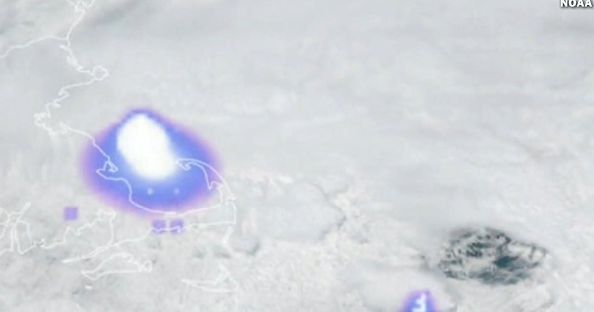
The FOX Forecast Center highlights that, along with the heat, comes wildfire concerns.
Just on Saturday, several smaller wildfires broke out across the South and the Northeast, with one near Philadelphia burning over 120 acres before becoming contained.
SEE IT: MASSIVE WILDFIRE BURNS IN NEW JERSEY JUST MILES OUTSIDE PHILADELPHIA
Heightened conditions will continue through the beginning of the week, as the next chance of rain does not arrive for the Northeast until later in the week.
Forecast outlooks from the Climate Prediction Center point to continued above-normal temperatures across much of the East Coast, with the Southeast remaining especially warm through late April.
What's Your Reaction?
 Like
0
Like
0
 Dislike
0
Dislike
0
 Love
0
Love
0
 Funny
0
Funny
0
 Angry
0
Angry
0
 Sad
0
Sad
0
 Wow
0
Wow
0