


%20052026%20SOURCE%20Tello.jpg)


Millions across 1,000 miles in path of triple threat as parade of severe weather continues through weekend
Severe storms have continued to make this week incredibly active weather-wise across the Midwest and Plains.
Wednesday’s severe threat has yet to take full effect, and another risk is already taking shape for Friday, targeting some of the same areas from Texas through the Midwest.
Tornadoes, hail, and damaging winds will all be possible through Friday night, with the threat spanning nearly 1,000 miles, impacting more than 34 million Americans.
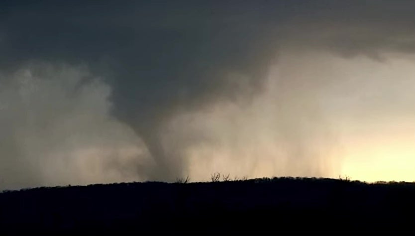
'TORNADO ON THE GROUND': FOX WEATHER STORM TRACKING TEAM INTERCEPTS TORNADO IN IOWA
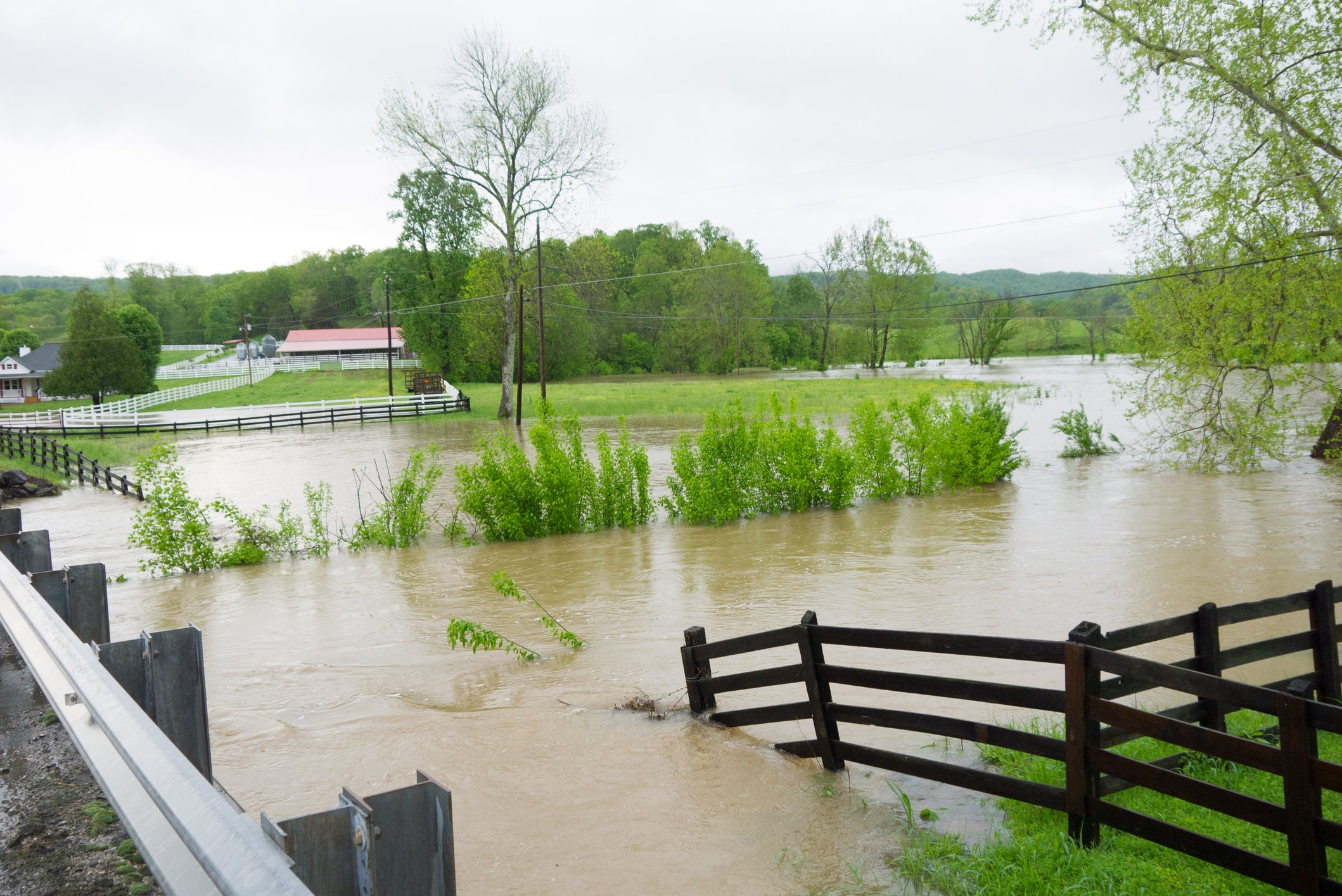
Severe weather has hammered the U.S. this week, triggering destructive flooding in Wisconsin, Texas, and Kansas, to name a few, alongside a wave of confirmed tornadoes across the Midwest.
By Thursday, a dip in the jet stream will begin to move out of the Northwest and pivot into the Central Plains.
DANGEROUS TORNADOES AND HAIL SLAM THE MIDWEST, PLAINS AS SEVERE WEATHER EXPANDS OVER 130M
A developing area of low pressure will drag a cold front into the southern Plains. Meanwhile, ahead of the front, strong southwesterly winds will trigger moist and unstable air to pull northward — setting the stage for widespread storms into Friday afternoon and overnight.
"The southern Plains northward through the mid-Mississippi Valley and into the Upper Midwest will face the greatest risk from developing storms," the FOX Forecast Center said.
IMMINENT THREAT: RISING WATER LEVELS COULD CAUSE COLLAPSE OF CHEBOYGAN DAM IN MICHIGAN
They warn that afternoon supercells will be capable of producing all storm risks, from very large hail, strong tornadoes, and damaging winds.
By the evening and into the overnight hours, the threat of damaging winds may increase as the storms may evolve into more of a squall line as they near the Mississippi River.
From north of Oklahoma City through Kansas City to Des Moines, Iowa, a Level 3 out of 5 severe storm risk has been issued.
PHOTOS: FIREFIGHTERS RUSH TO RESCUE 3 FROM WISCONSIN HOME AMID RISING FLOODWATERS
Through Saturday, the entire system will shift east into the Ohio Valley and Great Lakes regions.
With the associated cold front pushing east, it will likely organize into a line of storms primarily producing damaging winds as the focused threat.
This risk area includes locations from northern Kentucky to central Michigan, where a Level 2 out of 5 severe storm risk is in place.
By night, the front will accelerate, forecast to reach the East Coast by Sunday morning.
Although a severe storm risk area has not yet been highlighted by the Storm Prediction Center, storms could become severe along this front from the Mid-Atlantic into the Northeast in the afternoon.
Stay tuned to FOX Weather as we continue to track the development of these storms and provide the latest information to stay safe this week.
What's Your Reaction?
 Like
0
Like
0
 Dislike
0
Dislike
0
 Love
0
Love
0
 Funny
0
Funny
0
 Angry
0
Angry
0
 Sad
0
Sad
0
 Wow
0
Wow
0