


%20052026%20SOURCE%20Tello.jpg)


Hail, tornadoes possible across Upper Midwest ahead of multi-day severe weather threat taking aim at 70M+
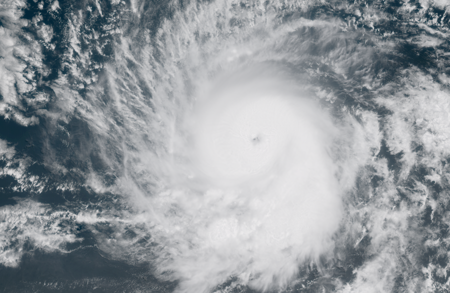
Dangerous thunderstorms are targeting Minneapolis, as well as other parts of the Upper Midwest on Monday, with the potential for large hail and tornadoes ahead of a more expansive multi-day severe weather threat covering over 70 million people from the Big Bend of Texas through the Great Lakes beginning Tuesday.
LIFE-THREATENING TORNADO RIPS THROUGH PARTS OF ILLINOIS AS SEVERE WEATHER LASHES THE HEARTLAND
An active spring weather pattern will develop across the Central U.S. with severe thunderstorms likely throughout the week.
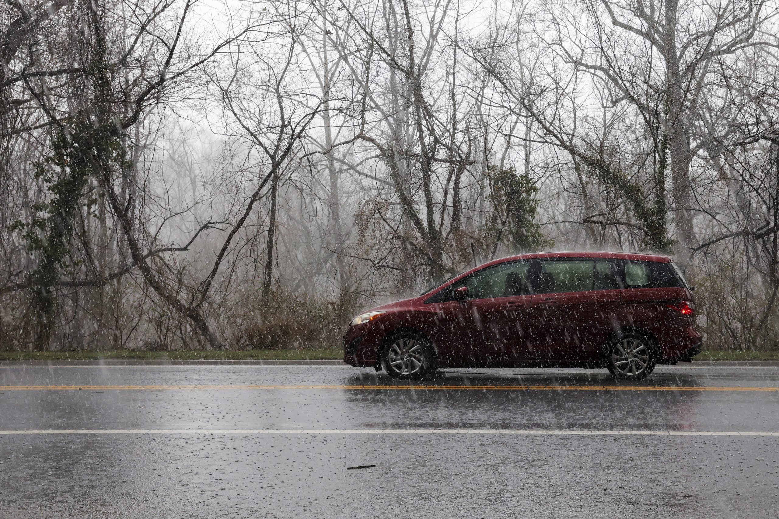
This comes after severe storms drenched parts of Texas this past weekend, causing localized flooding. However, a layer of warm air in the atmosphere created an "atmospheric cap" that prevented the formation of stronger tornado-producing storms.
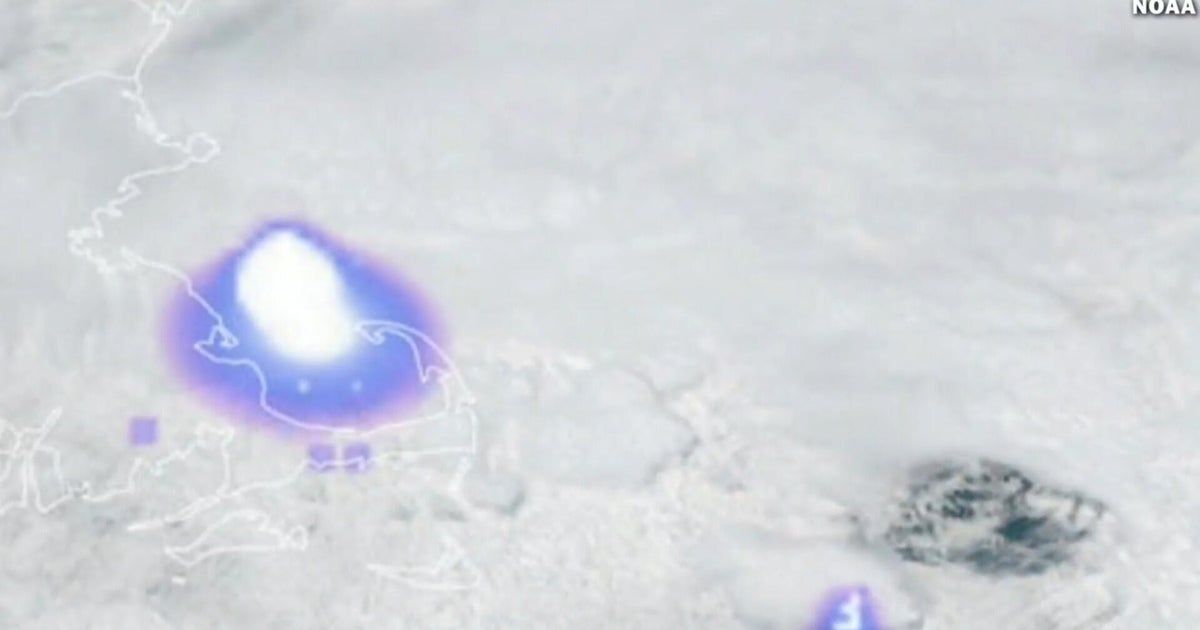
Dangerous severe weather is expected Monday afternoon across parts of the Upper Midwest including Minnesota, Wisconsin, Michigan, as well as parts of northern Illinois and northern Indiana.
MUCH-NEEDED RAIN PERSISTS ACROSS DROUGHT-STRICKEN FLORIDA AS COASTAL FLOOD THREAT BUILDS
A corridor between Minneapolis and Green Bay, Wisconsin is under a Level 3 out of 5 risk of severe thunderstorms, according to NOAA's Storm Prediction Center. Large hail, 2+ inches in diameter, will be possible late Monday afternoon and into the evening, when severe thunderstorms are expected to develop.
Similar to Sunday's storms, an "atmospheric cap" is expected to prevent storms from forming this afternoon, but that "cap" is expected to break closer to the evening hours, as a strong area of low pressure moves into the region.
Chicago and Milwaukee are under a Level 2 risk of severe storms.
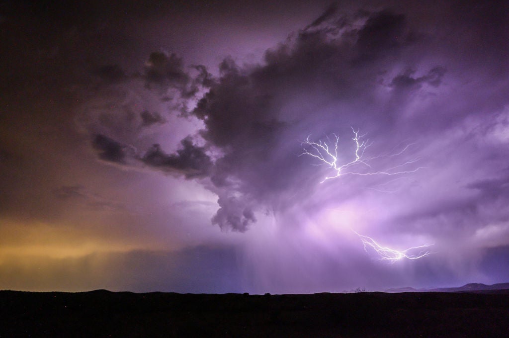
According to the FOX Forecast Center, the primary severe weather hazard is expected to be large hail.
However, the tornado threat will increase if storms are able to form closer to the surface along the warm front that will be draped along that Level 3 corridor.
Storms are expected to weaken and track eastward into the Lake Michigan area through the evening.
THIS IS WHAT YOU SHOULD DO IF YOU ARE DRIVING AND THERE IS A TORNADO ON THE GROUND
The severe weather threat will begin to expand Tuesday, covering more than 70 million people, spanning the Big Bend of Texas to Lake Michigan.
The strongest storms are expected across eastern Iowa, southern Wisconsin and northern Illinois, including Chicago and Milwaukee.
In the southern theater of Tuesday's threat, severe storms are expected to fire along a dryline — the boundary between dry air from the west and warm, moist air from the Gulf — forecast to set up over Oklahoma and West Texas.
Storms are expected to shift towards the Mississippi River Valleys, with the possibility for damaging wind gusts, hail, and tornadoes primarily across a corridor that includes Oklahoma, eastern Kansas, western Missouri, eastern Iowa, western Illinois and parts of southern Wisconsin.
In additional to the severe component, thunderstorms will release heavy moisture from the atmosphere, leading to downpours producing 1–2 inches of rain.
A Level 1 out of 4 risk of flash flooding covers that same corridor from Texas to Michigan.
What's Your Reaction?
 Like
0
Like
0
 Dislike
0
Dislike
0
 Love
0
Love
0
 Funny
0
Funny
0
 Angry
0
Angry
0
 Sad
0
Sad
0
 Wow
0
Wow
0