


%20052026%20SOURCE%20Tello.jpg)


Four days of severe weather targeting millions across South with thunderstorms, hail, possible tornadoes

After a harsh winter across the country, Americans are ready for a fresh start in March, which is typically a month of transition into warmer temperatures.
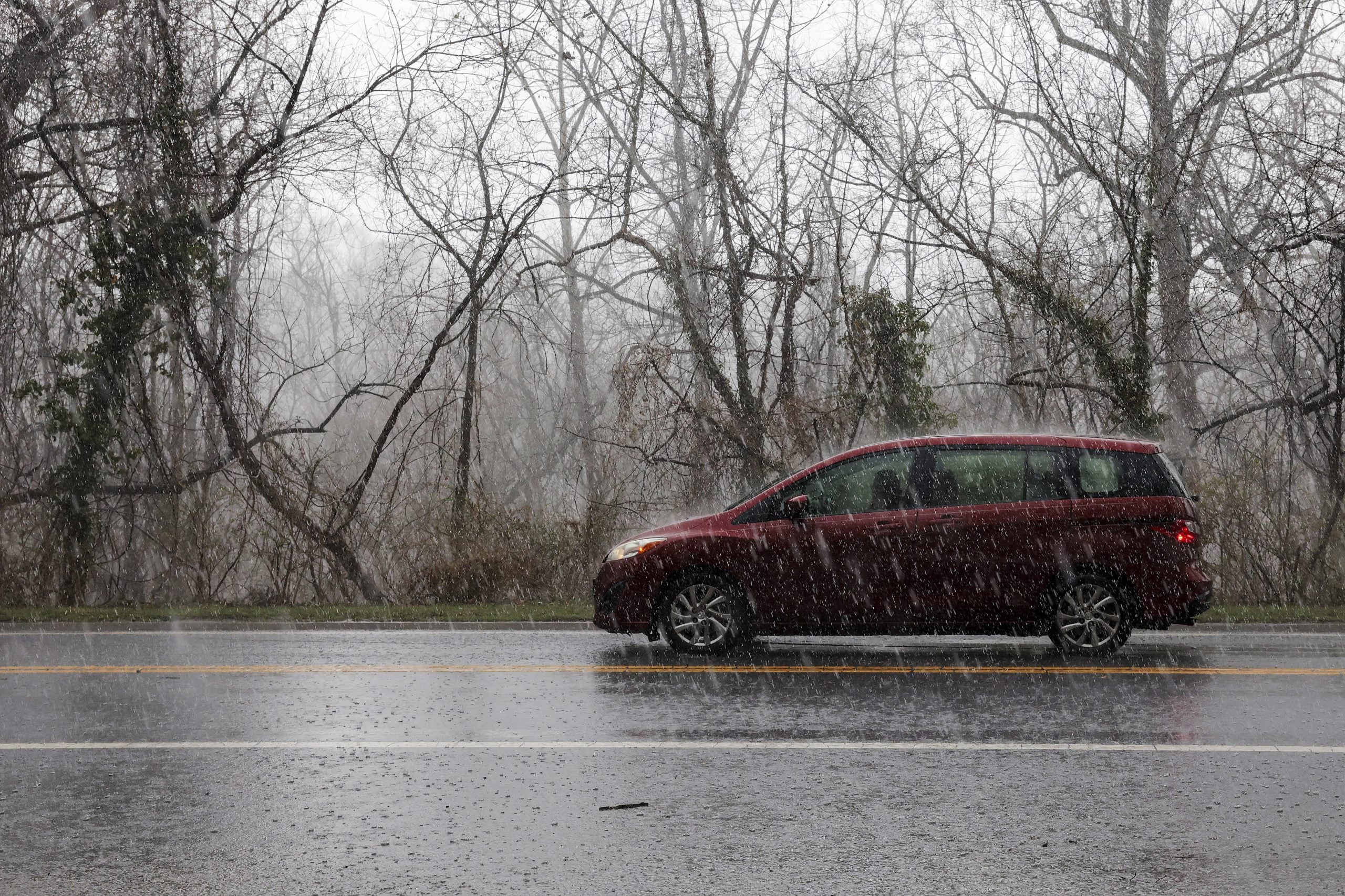
Despite the pleasant increase in temperatures in some parts of the U.S., this brings an increased threat of severe weather.
PARADE OF STORMS TO EASE MISSISSIPPI VALLEY DROUGHT AS FLASH FLOODING THREAT POTENTIAL RISES
The Storm Prediction Center has issued consecutive four-day outlooks starting Tuesday, with the highest risk of severe weather expected from Wednesday through the end of the week.
Threats are underway as an upper disturbance in the middle levels of the atmosphere will move across the Desert Southwest and the Rockies.
As a result, scattered thunderstorms will develop from the Red River northeast into the mid-Mississippi Valley by the evening.
Meteorologists at the FOX Forecast Center say that these storms will likely be elevated, meaning they form above a cooler layer near the ground.
A level 1/5 risk has been issued by the NOAA Storm Prediction Center for Tuesday, with large hail being the biggest threat.
As we transition into Wednesday, warm, humid air will spread northward from east-central Texas into the Arkansas and Louisiana regions. At this point, thunderstorms will likely develop from Central Oklahoma into Southern Missouri.
Forecast models are predicting a decent amount of storm energy ahead of this, with stronger winds moving through the Southern Plains by Wednesday afternoon, providing enough wind shear for organized storms.
A few supercells are possible, which is the greatest overall risk.
Since 2010, more than 1,700 tornadoes have been recorded in the month of March.
Due to these factors, the Storm Prediction Center is issuing a level 2/5 risk for Wednesday with all modes of severe weather possible.
The multi-day storm threat extends across the Central and Southern Plains through Friday, and while the severe weather threat for Saturday has decreased, that could change in future updates.
According to the FOX Forecast Center, the storm system will move into the mid-Mississippi Valley on Thursday. At the same time, a cold front pushes southeast into the Arkansas, Louisiana, and Texas regions.
"Thunderstorms will remain possible along and ahead of the front during the day and into the evening," a statement from the FOX Forecast Center reads. "However, severe weather ingredients look somewhat weaker than on Wednesday, which should limit the overall severe threat."
Despite the weakened threat, severe weather is expected to persist on Thursday.
This won’t last long, as forecast models generally agree that starting on Friday, moist air will become unstable enough to support severe storms.
This storm development will be aided by a strengthening jet stream moving across the Southern Plains. This factor will produce stronger winds, which can organize storms that are likely to become severe.
According to the FOX Forecast Center, the best chance for severe storms exists from the Red River (Oklahoma/Texas) north into western Missouri, including Oklahoma City, Tulsa, Wichita and Kansas City, where the strongest wind shear and low-level moisture will be.
The main threats to these areas are large hail and damaging wind gusts and a few tornadoes can’t be ruled out.
What's Your Reaction?
 Like
0
Like
0
 Dislike
0
Dislike
0
 Love
0
Love
0
 Funny
0
Funny
0
 Angry
0
Angry
0
 Sad
0
Sad
0
 Wow
0
Wow
0