


%20052026%20SOURCE%20Tello.jpg)


Fast-moving system to unleash messy mix of rain, ice & snow across Midwest, Northeast days after winter storm

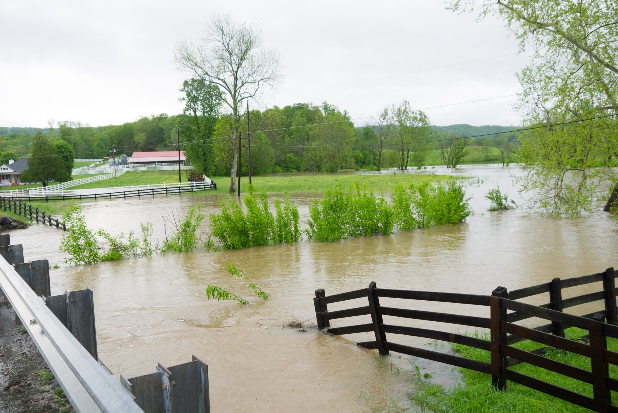
NEW YORK, N.Y. – Just hours after a powerful winter storm moves out from the Northeast and delivers snow and ice to the region, another fast-moving system will bring a mixture of rain and snow, followed by a blast of Arctic air that will leave most of the East Coast below average to start off the New Year.
After an active Friday and Saturday across the Northeast, another system will travel across Southern Canada into Sunday. Extending from the area of low pressure will be a long trailing cold front.
Warm air will surge farther north due to the area of low pressure being further north into Canada, allowing for a mostly rain event for most of the East Coast, extending from Ohio through Tennessee from Sunday night into Monday morning.
Frozen precipitation will be located across far northern New England and in the higher terrain of the interior Northeast.
There will be lighter amounts of snow, but higher totals are expected in the Catskills and Green/White Mountains.
Icing will also be possible across northern New York into parts of Maine on Monday afternoon.
According to the FOX Forecast Center, rain will be starting on Sunday across the eastern Great Lakes with a front extending further into the Tennessee Valley. Some stronger storms are possible in both the Tennessee and Ohio River Valleys late Sunday afternoon, before rain sweeps across most of the I-95 corridor.
The post-holiday return-to-work commute on Monday can possibly be a wet one with rain expected from Philadelphia to Boston.
Following this system, a blast of much colder air will move in with winds pivoting out of the Northwest, making way for potential lake-effect snow near Lake Erie and Lake Ontario.
Areas of Western New York, like Buffalo and Watertown, will see plowable snow into Tuesday of next week.
What's Your Reaction?
 Like
0
Like
0
 Dislike
0
Dislike
0
 Love
0
Love
0
 Funny
0
Funny
0
 Angry
0
Angry
0
 Sad
0
Sad
0
 Wow
0
Wow
0