


%20052026%20SOURCE%20Tello.jpg)


Dangerous winter storm knocks out power to 350,000 from vicious winds as storm may 'bomb out' over Great Lakes
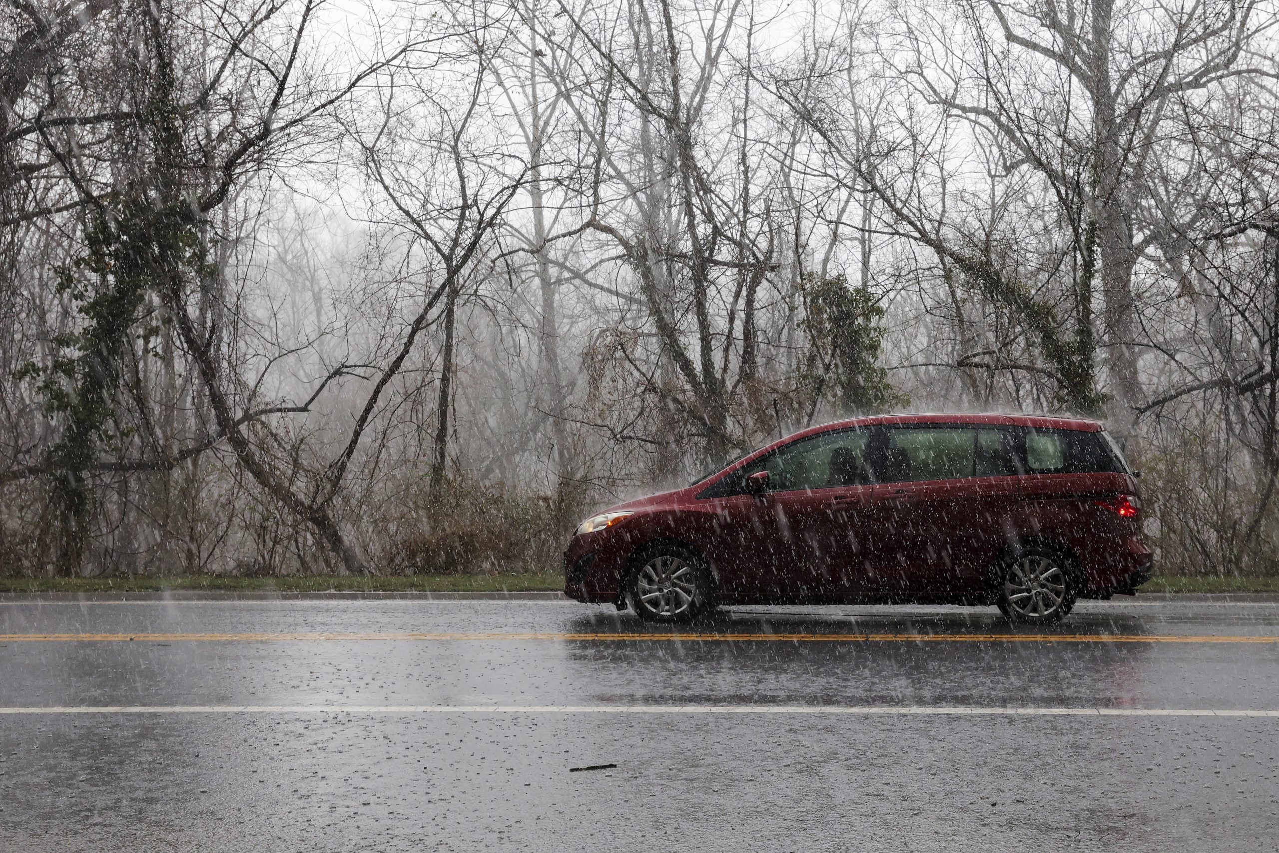
With millions of Americans traveling during the holiday week, winter weather could disrupt travel as a dangerous post-holiday storm sweeps across the Northern Tier, producing snow, ice, rain, and intense winds with Blizzard Warnings posted for Minnesota and Wisconsin.
The storm will move today through Tuesday and while portions of the Northern Tier have already seen inches of snow and strong winds, the FOX Forecast Center says impacts will expand as the system tracks towards the Northeast today, followed by cooler air and lake-effect snow.
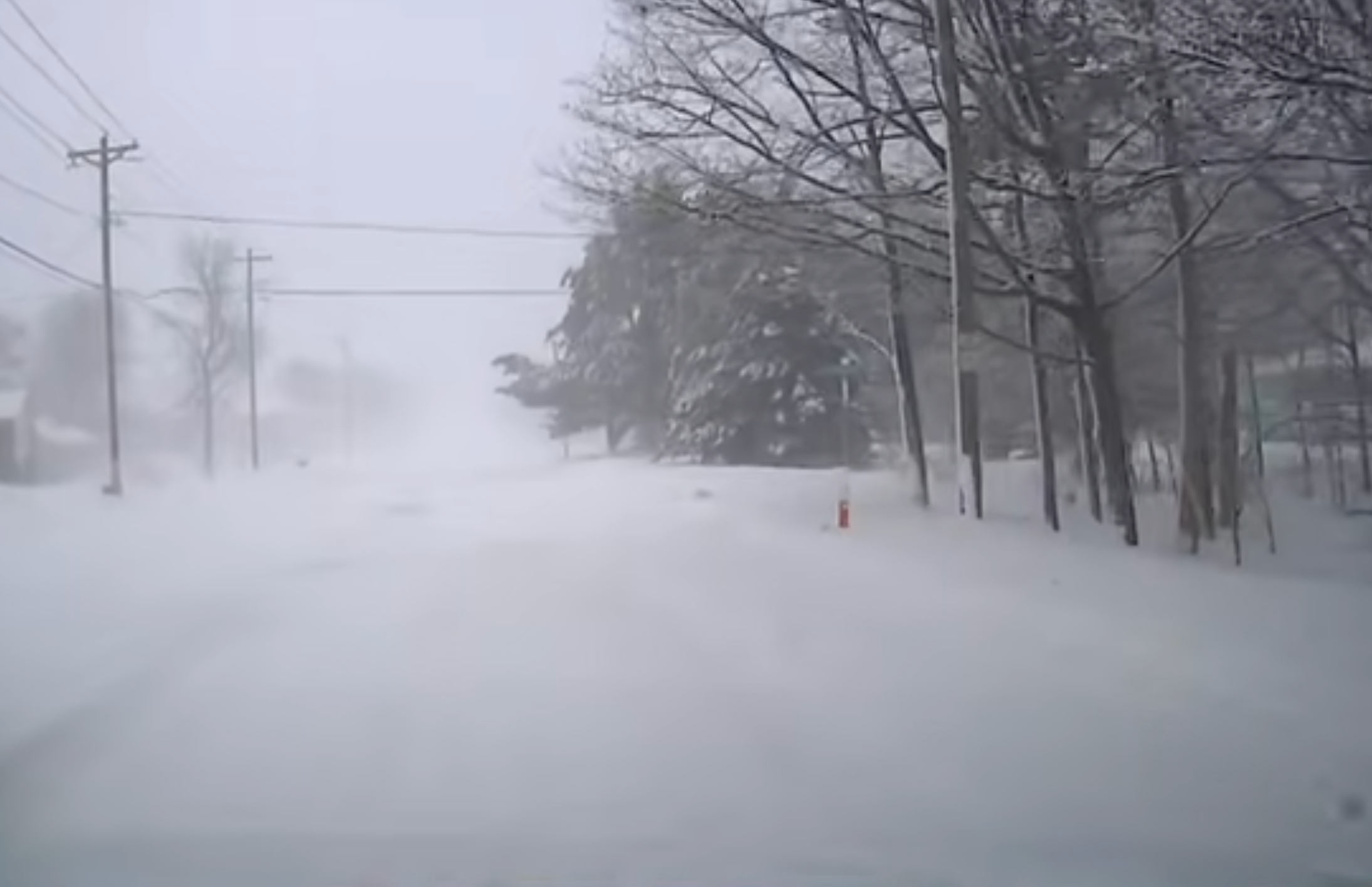
Originating in the Midwest, a rapidly deepening low-pressure system will continue to swing through the region bringing rain, snow, gusty winds, and usher in colder air east. While accumulations will range from 5 to 8 inches, shifting winds across the northern Great Lakes will spark intense lake-effect snow, adding to totals that may be measured in feet.
The FOX Forecast Center says the storm’s rapid intensification will tighten the pressure gradient, generating powerful winds.
Some forecast models suggest the low could undergo bombogenesis, which is when it becomes a bomb cyclone from a quick drop in pressure, as it passes over the relatively warmer waters of Lake Michigan.
Winds have already been reported at over 60 mph across portions of the Plains and Upper Midwest and the intensity of the gusts has already caused over 350,000 customers nationwide to lose power, most notably in Michigan with just over 115,000 customers.
The powerful winds have begun wreaking havoc on travel too, with blizzard conditions in Iowa causing a pileup of over a dozen vehicles on I-35.
Ahead of the front, rain will spread across the Northeast today, as many areas, including the I-95 corridor, remain above freezing, limiting snow chances for the majority of the region. The exception will be northern New England and the higher terrain of the interior Northeast early this morning, where frozen precipitation is expected, but will quickly shift to rain.
The FOX Forecast Center warns that icing appears likely where cold air remains trapped, which will create hazardous travel conditions throughout New England, particularly at higher elevations.
Winter Weather Alerts have been issued for most of the region, with ice accumulations of up to a quarter-inch possible.
WHAT TO DO DURING A WINTER STORM POWER OUTAGE
Like the Midwest, the Northeast will also see a quick burst of high winds, with gusts up to 40 mph. Intense winds up to 60 mph in the Midwest, especially the southern Great Lakes and higher elevations of New England, could potentially lead to more power outages.
Behind the front, a rush of cold air will arrive as winds pivot to the northwest, triggering significant lake-effect snow downwind of Lakes Erie and Ontario and portions of Western New York and the Tug Hill Plateau could potentially exceed a foot of accumulation through Tuesday.
Stay with FOX Weather for the latest up-to-date information on this major storm system as it tracks through the U.S.
What's Your Reaction?
 Like
0
Like
0
 Dislike
0
Dislike
0
 Love
0
Love
0
 Funny
0
Funny
0
 Angry
0
Angry
0
 Sad
0
Sad
0
 Wow
0
Wow
0