


%20052026%20SOURCE%20Tello.jpg)


Dangerous tornado threat looms for millions across Ohio Valley tonight in highest severe storm threat of 2026
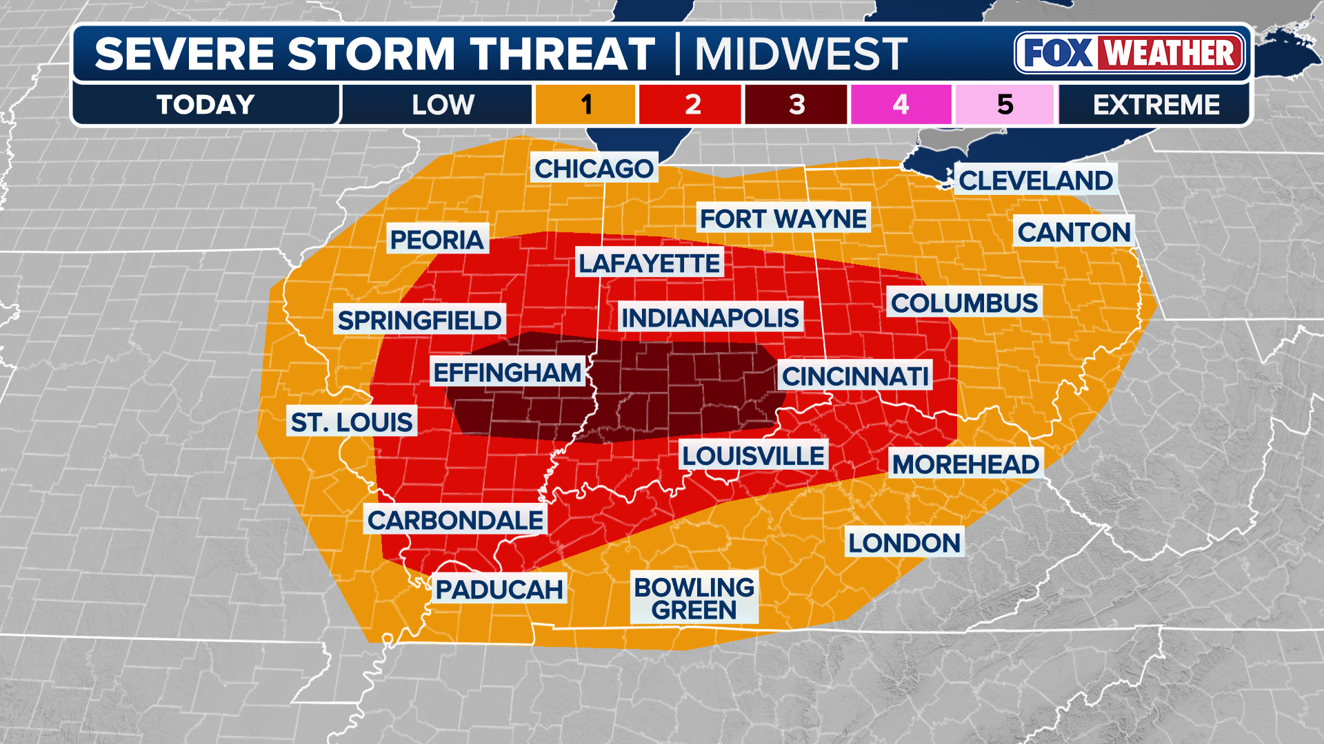
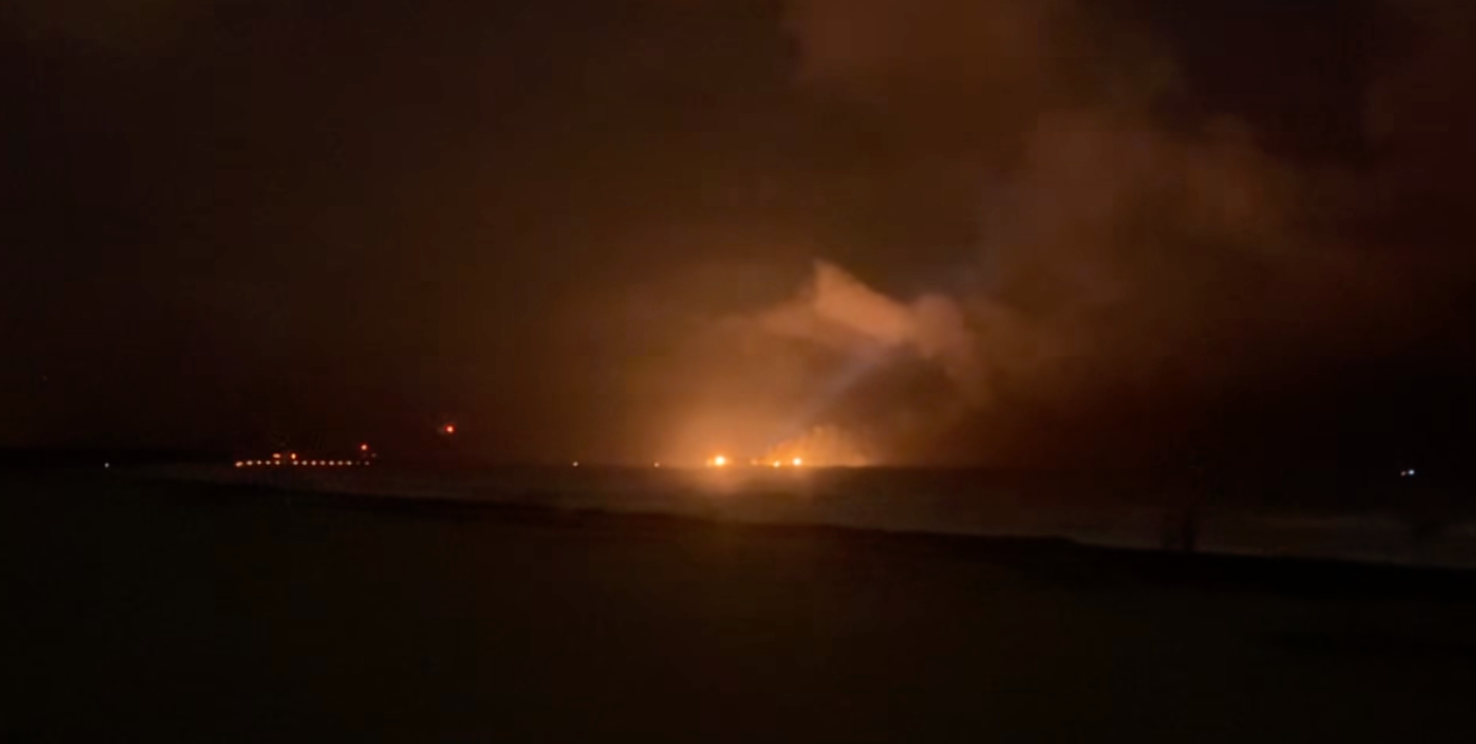
OHIO VALLEY — As severe weather looms over the Ohio Valley with the potential to produce a few tornadoes, hail and damaging wind gusts, the Storm Prediction Center (SPC) has increased the Severe Storm threat in portions of Illinois and Indiana to a Level 3 out of 5, making it the first Level 3 threat in nearly 5 months, as well as the highest severe storm threat in 2026 thus far.
Other areas remain under a Level 2 out of 5 threat.
The SPC said there is a heightened potential for tornadoes, some of which could reach EF-2 or stronger.
OHIO VALLEY UNDER SEVERE STORM THREAT AS ACTIVE WEEK OF WEATHER IN THE MIDWEST UNFOLDS
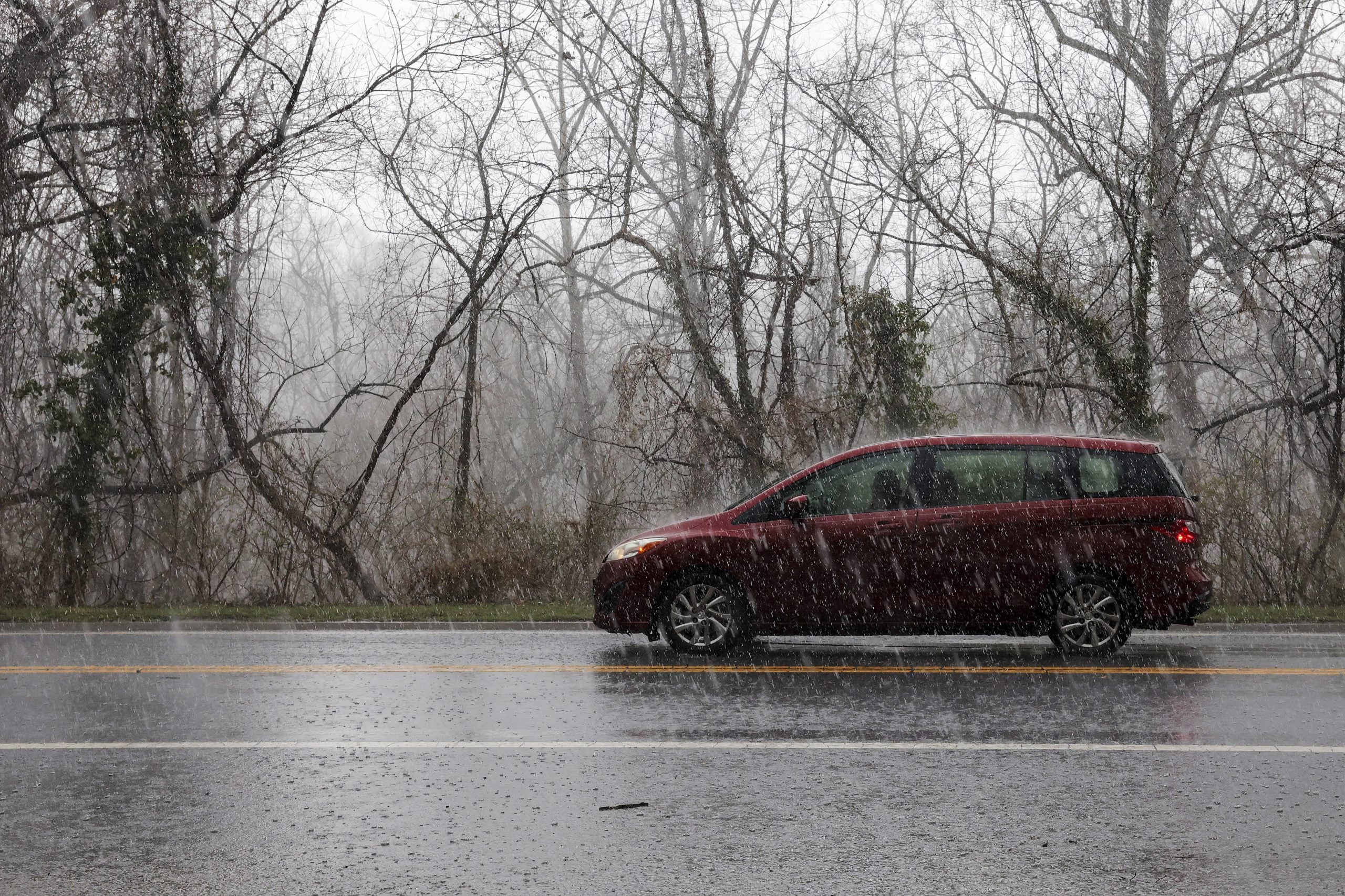
However, due to limited early-season moisture, the boundary layer is expected to become more hostile to surface-based storms and overall severe threat into the mid-to-late evening.
Dew points in the upper 50s to low 60s are expected to move northward toward the confluence of the Mississippi and Ohio Rivers by Thursday evening. Although atmospheric instability (CAPE) is forecast to remain low, strong wind shear combined with sufficient atmospheric lift could support the development of significant thunderstorms.
The National Weather Service said that long-lived, multi-hour supercells are possible, which could support the risk of strong tornadoes.
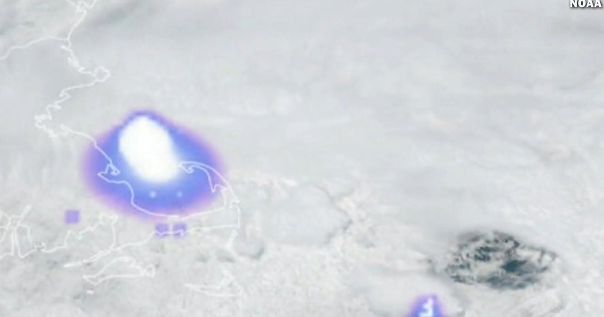
Initial activity is expected to develop around midday across eastern Missouri and southern Illinois.
NWS St. Louis said, "The real key through the morning will be watching to determine when storms transition from elevate to surface based. Once they become surface based, the threat will increase. That is expected to occur sometime between 11 a.m. and 1 p.m"
These storms will likely remain north of the warm front. As a result, they will be "elevated," with the primary threat being hail up to the size of quarters- 1", according to the FOX Forecast Center.
By mid-afternoon, a line of discrete thunderstorms is expected to form across far eastern Missouri and southern Illinois, moving rapidly eastward.
As the day progresses, the tornado risk may rise as these storms interact with the warm front, taking advantage of enhanced low-level wind shear and a narrow zone of surface-based instability.
Evening transition thunderstorm activity may eventually grow upscale into an organized line, shifting the primary concern toward damaging wind gusts.
These storms are expected to weaken after dark as they move into the mid-to-upper Ohio Valley and encounter a more stable environment.
What's Your Reaction?
 Like
0
Like
0
 Dislike
0
Dislike
0
 Love
0
Love
0
 Funny
0
Funny
0
 Angry
0
Angry
0
 Sad
0
Sad
0
 Wow
0
Wow
0