


%20052026%20SOURCE%20Tello.jpg)


Dangerous Level 3 out of 5 severe weather threatens millions across East Coast
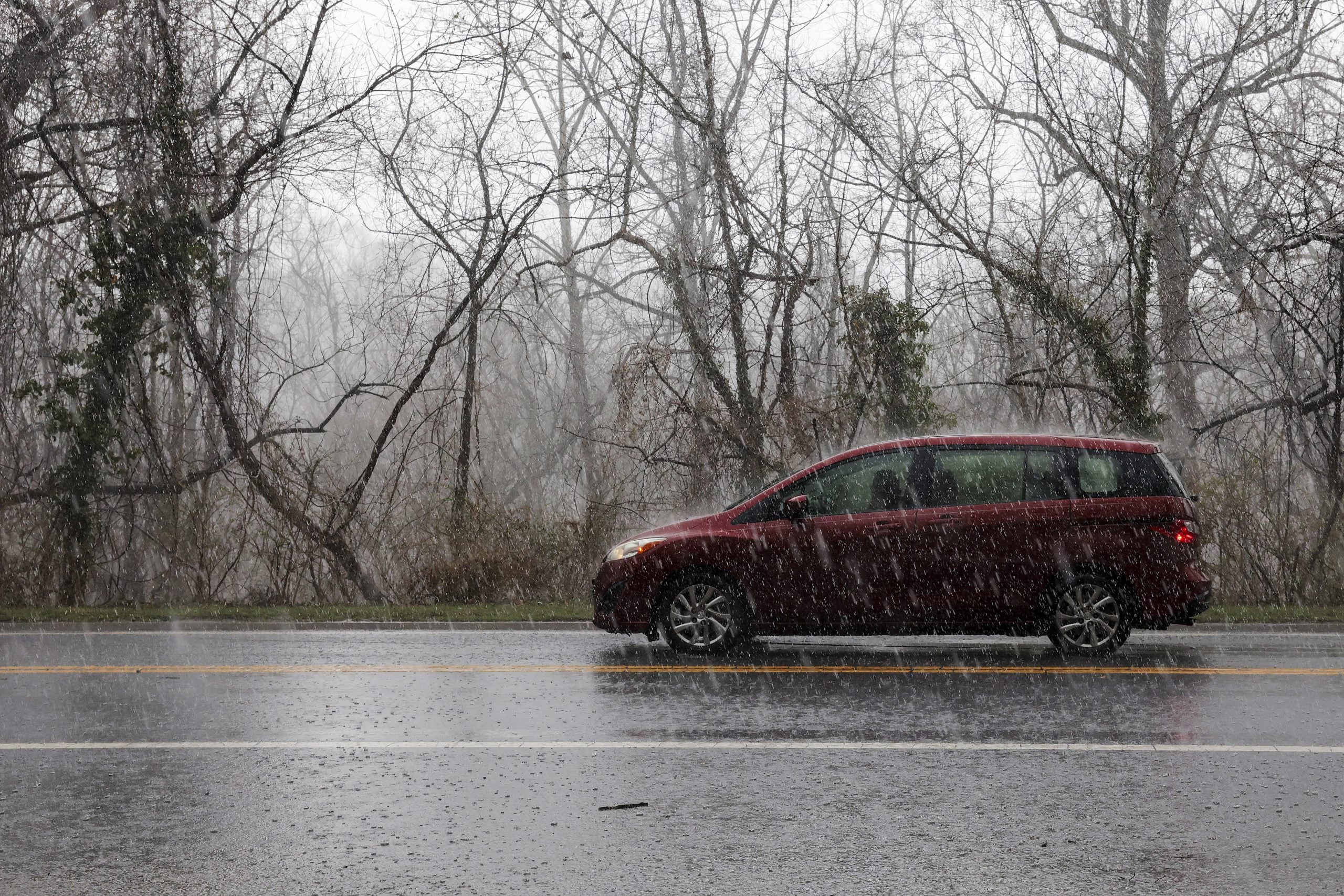
WASHINGTON — A sprawling line of severe thunderstorms that slammed the Heartland Sunday is charging east Monday, placing more than 12 million people across parts of the Mid-Atlantic and the Southeast under a rare Level 3 out of 5 risk of severe weather.
LIVE UPDATES: RARE SEVERE STORM OUTBREAK TARGETS EAST COAST, HISTORIC BLIZZARD PARALYZES THE MIDWEST
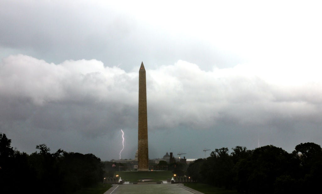
Widespread wind gusts approaching hurricane-force are possible and storms will be capable of producing strong, long-track EF-2+ tornadoes across parts of the Carolinas, north through Virginia, Maryland and Washington, D.C.
The National Weather Service has dropped the severe weather threat to a Level 3/5, and a Tornado Watch that was issued for the Washington, D.C. area has been canceled.
Severe storms are being driven by a cold front pushing across the eastern U.S.
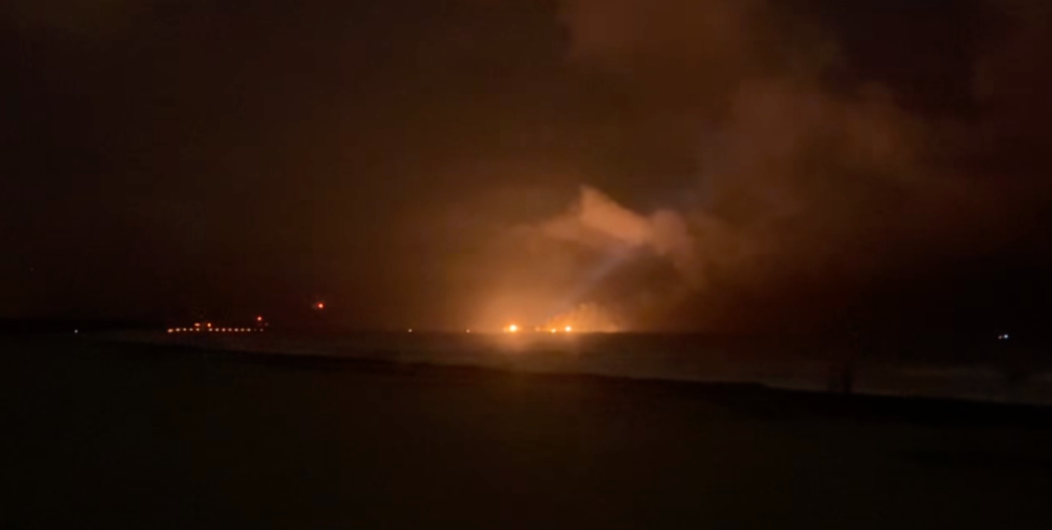
Tornado Watches and Tornado Warnings were in place for parts of Georgia and the Florida panhandle early Monday. A Severe Thunderstorm Warning triggered a ground stop at Atlanta's Hartsfield-Jackson International Airport.
WHAT IS A SQUALL LINE AND WHY IS THIS TYPE OF SEVERE WEATHER SO DANGEROUS?
Severe storms will be most active across the Southeast through Monday morning, where supercell thunderstorms could produce large hail and tornadoes.
The main threat shifts to the Carolinas and Mid-Atlantic by late morning and into the afternoon and is expected to peak late into the day.
NOAA's Storm Prediction Center has issued a 15% risk of tornadoes for a corridor covering a corridor from Washington, D.C. south through parts of central and Eastern Virginia, as well as central North Carolina, including Raleigh, and north-central South Carolina.
Washington, D.C. schools dismissed two hours early due to the threat.
TORNADO SAFETY: THE SAFEST AREAS TO PROTECT YOURSELF AND WHY TO AVOID OVERPASSES
These tornadoes could be EF-2 or stronger and have the potential to be long-track tornadoes, the Storm Prediction Center said.
Additionally, these storms are expected to produce damaging wind gusts between 60 and 80 mph, which can easily damage structures and cause widespread power outages.
The threat is expected to wane through Monday evening, as severe storms slide off the coast, but very cold temperatures will move in quickly behind the storms, creating dangerous conditions for those who lose power.
Watch FOX Weather for the latest updates on this developing story.
What's Your Reaction?
 Like
0
Like
0
 Dislike
0
Dislike
0
 Love
0
Love
0
 Funny
0
Funny
0
 Angry
0
Angry
0
 Sad
0
Sad
0
 Wow
0
Wow
0