


%20052026%20SOURCE%20Tello.jpg)


Back-to-back storms slam West Coast, bringing heavy rain, extended flash flood threat

The West Coast from California up into the Pacific Northwest is seeing an active weather pattern filled with back-to-back storms to start off the year.
Beginning Friday, rain will stretch from northern California into Oregon, with snow throughout higher elevations in the Sierra Nevada Mountains.
Flooding is possible up and down the California coast through the weekend.
This comes after rounds of flooding rain slammed southern California on New Year's Day.
KNOW YOUR FLOOD TERMINOLOGY: WHAT FLOOD WATCHES, WARNINGS AND EMERGENCIES REALLY MEAN
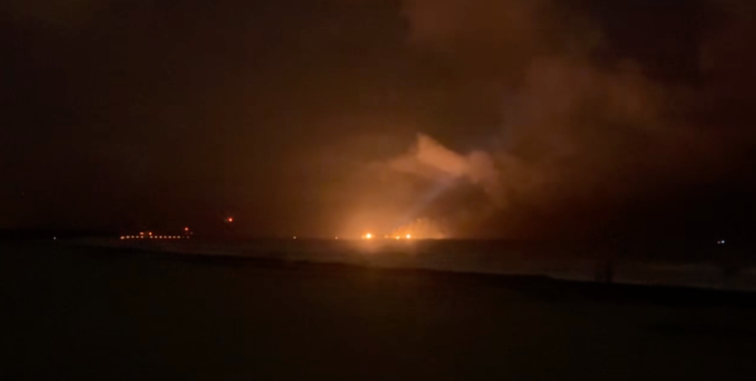
Video from Palm Springs showed flooded streets as a car drove through the rain.
Cars were reported stuck in floodwaters across San Diego, with multiple water rescues as the San Diego River flooded.
7 FACTS YOU SHOULD KNOW ABOUT FLASH FLOODS
The National Weather Service has issued a level 1 out of 4 from Friday to Monday all up the California coastline.
A level 2 out of 4 flash flood risk exists for pockets of northern and southern California on Saturday, particularly up in the mountains and down around Los Angeles.
More rain will come through on Sunday, with the heaviest rain for central and southern California.
The National Weather Service office for the Bay Area issued a coastal flood warning for the San Francisco Bay until Saturday afternoon due to the combination of King Tides and storm surge.
The NWS said 2.5 feet of inundation is expected, which hasn't been recorded since 1998.
YEAR IN REVIEW: SHOCKING SATELLITE IMAGES OF EXTREME WEATHER SEEN FROM SPACE
Strong, gusty winds will also be a concern, with wind alerts issued for most of the California coast, excluding southern California.
The FOX Forecast Center said gusts could reach 45 mph through the weekend.
Snow in the mountains above 5,000 feet elevation could total 2 to 4 feet, with higher snow totals possible at higher elevations, according to the FOX Forecast Center.
A Winter Storm Warning is in effect for the Sierra Nevada Mountains until Monday.
WINTER TRAVEL CAR KIT: CHECKLIST OF EMERGENCY ESSENTIALS TO KEEP IN YOUR CAR IN CASE YOU GET STUCK
Gusty winds combined with the snow can lead to extremely dangerous travel conditions in the mountains.
Use caution when traveling and be prepared for difficult driving conditions.
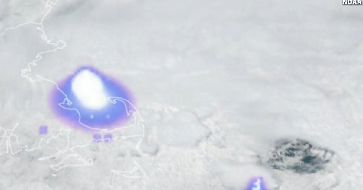
A few thunderstorms are possible from Saturday to Sunday morning in northern California and into Oregon.
The Storm Prediction Center has issued a Level 1 out of 5 risk for severe storms, primarily for gusty winds, though a brief tornado cannot be ruled out, the FOX Forecast Center said.
As we look ahead to the middle of next week, the active pattern may persist.
Additional moisture, more rain at lower elevations, continued mountain snow and breezy conditions remain possible, keeping the region locked into an extended stretch of unsettled weather.
What's Your Reaction?
 Like
0
Like
0
 Dislike
0
Dislike
0
 Love
0
Love
0
 Funny
0
Funny
0
 Angry
0
Angry
0
 Sad
0
Sad
0
 Wow
0
Wow
0