


%20052026%20SOURCE%20Tello.jpg)


Back-to-back storms expected to bring snow and ice to the Northern U.S.
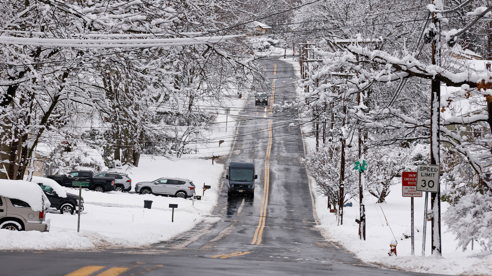
Starting early this week, a clipper system is expected to move through New England, bringing yet another round of snow to parts of the northern U.S. that have already had their fill so far this winter.
Light snow is expected to fall across much of the Northeast, including upstate New York, Vermont and New Hampshire, before moving into Massachusetts, Rhode Island and Connecticut, according to the FOX Forecast Center.
This comes as the Northeast has already experienced a plethora of winter weather. Most notably, areas just outside New York City, such as Mamaroneck, New York, received a light dusting of snow.
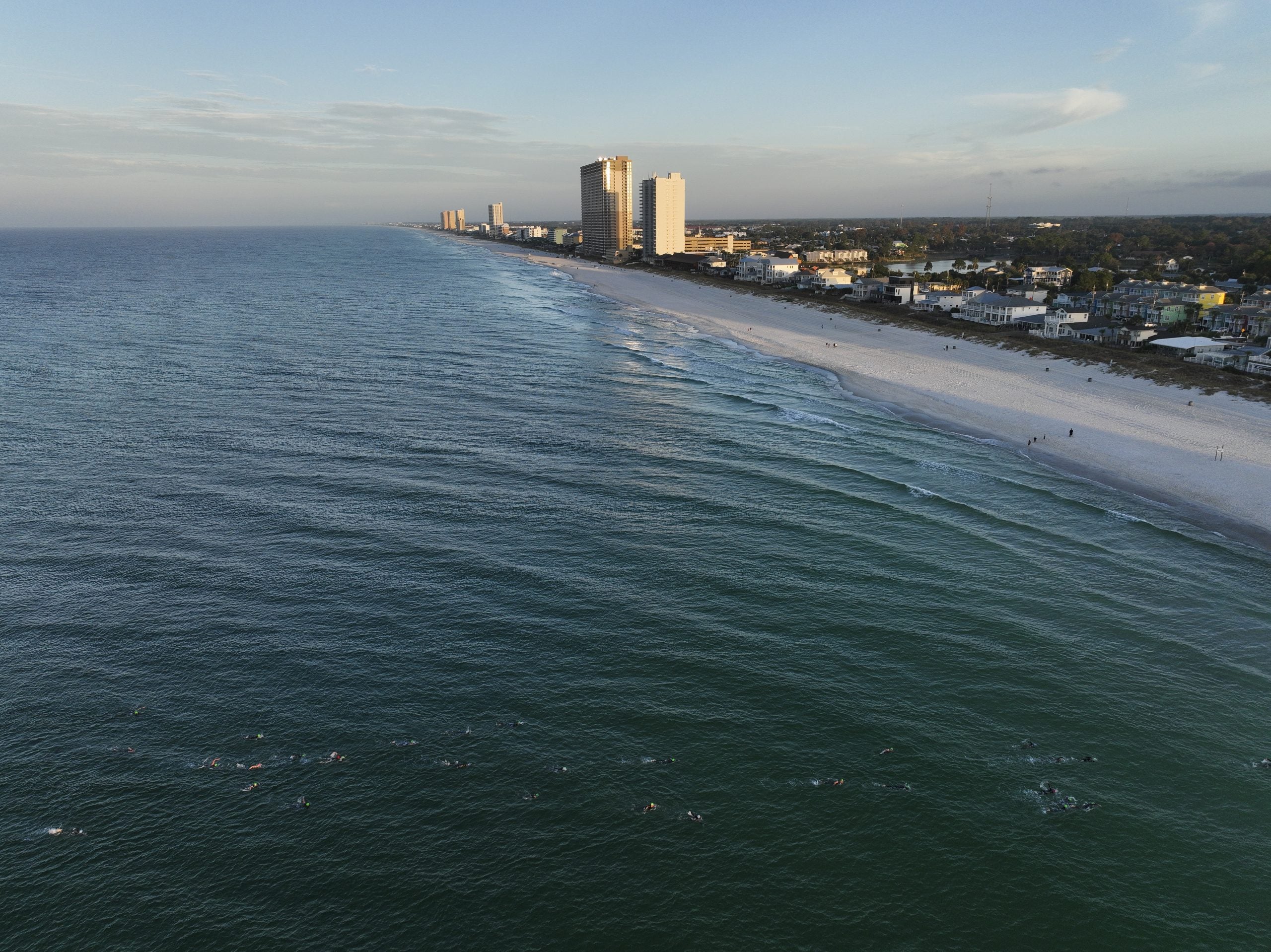
Buffalo, New York, received just under five inches of snowfall on Sunday as the Bills officially wrapped up their final regular-season game ever at Highmark Stadium.
LAKE-EFFECT SNOW BURIES PARTS OF NEW YORK IN FEET OF SNOW
Some stray snow showers could develop over New York City and Long Island on Monday, but no significant impacts are expected.
Meteorologists at the FOX Forecast Center predict this clipper to bring at least 1 to 3 inches of snow. There could be impacts on commuters along the I-95 corridor, with roads experiencing wet conditions, slush and low visibility.
By Tuesday, an additional storm system will push into the Upper Midwest. This raises concerns about icing due to freezing rain, which would go hand in hand with unsafe road conditions for drivers, as well as the risk of black ice.
BILLS FANS ASKED TO LEND A HAND SHOVELING AT HIGHMARK STADIUM AHEAD OF MORE HEAVY SNOW
Icing is any deposit or coating of ice on an object caused by the impingement and freezing of a liquid, according to the National Weather Service (NWS).
The NWS has issued a Winter Weather Advisory for parts of Minnesota, including the Twin Cities, until Tuesday.
Early on Tuesday, forecasters will shift their attention to the Upper Midwest, where temperatures will rise just enough to produce a wintry mix as another system develops.
With this growing threat, areas to monitor for a swath of icing include Minnesota, Wisconsin and Michigan.
WHY DID THE SKY TURN PINK DURING A RECENT WINTER STORM IN IOWA?
Ice amounts appear light, according to the FOX Forecast Center, but it is still a concern in cities such as Detroit, Minneapolis, and Green Bay, Wisconsin.
To wrap things up on Wednesday, another system is expected to reach New England, bringing another mixed-precipitation setup: snow for higher elevations, a possible ice threat closer to the coast and spotty rain farther south.
There are a few areas to monitor by midweek, but a mixture of snow showers and ice remains the main threat for the northern tier of the U.S. this week.
What's Your Reaction?
 Like
0
Like
0
 Dislike
0
Dislike
0
 Love
0
Love
0
 Funny
0
Funny
0
 Angry
0
Angry
0
 Sad
0
Sad
0
 Wow
0
Wow
0